


Most Recent Visit: June 2022
While the Roman settlement of Aduatuca Tungrorum (or Atuatuca Tungrorum) seems to have been established around 10 BCE at the site of modern Tongren in Belgium, a separate settlement of Aduatuca (typically differentiated as Aduatuca Eburonum) existed in at least the middle of the 1st century BCE. The settlement of Aduatuca (Eburonum) is attested by Julius Caesar as a primary stronghold of the Belgic Eburones. The location of Aduatuca (Eburonum) is not know for sure, but the strongest evidence suggests it may be a site near modern Kanne, just southwest of modern Maastricht (ancient Trajectum ad Mosam), about 15 kilometers to the northeast of modern Tongren.
When Caesar first encounters the Eburones in 57 BCE, he states that they were clients of another tribe, the Atuatuci, who lived to the west. The relationship between the Atuatuci people and the place name of Aduatuca/Atuatuca is unclear, but they most likely share at least a linguistic root. Caesar claims the word meant ‘fortress’. Following the Battle of the Sabis in 57 BCE, the Eburones become prominent in their resistance against Roman rule. In 54 BCE, Ambiorix and Cativolcus, kings of the Eburones, led an attack against a wintering Roman army at Aduatuca, slaughtering around 6,000 soldiers. They then rallied a larger rebellion with other tribes. Caesar moved into the territory of the Eburones, ravaging it with the intent of completely destroying the Eburones. He notes that the Roman baggage was left at Aduatuca during this campaign.
Whether Caesar was successful in his genocide of the Eburones is a matter of some debate, but following the conclusion of his actions against them, there seems to be no mention of Eburones as a contemporary group. In the aftermath, probably during the time of Augustus, a tribe called the Tungri were moved into the former territory of the Eburones. The exact origin of the Tungri is unclear, but they were a Germanic tribe that had either come from beyond the Rhenus (modern Rhine), or were part of the Germani Cisrhenani, which had established themselves just to the west of the Rhenus. In 10 BCE, Aduatuca Tungrorum was founded to be a capital for the Tungri and of the administrative Civitas Tungrorum, retaining the name of the nearby settlement of the Eburones and the name of the new residents. There is no evidence a previous settlement existed at the location prior to the foundation of Aduatuca Tungrorum.

The city was originally incorporated into the province of Gallia Belgica, but later seems to have been included in Germania Inferior when the province was established during the reign of Domitian (though there is some evidence to suggest it remained with Gallia Belgica). The grid plan of Aduatuca Tungrorum dates to the reign of Claudius, leading some to theorize the site functioned more as a military camp prior to that point. The city was destroyed during Batavian Revolt of Gaius Julius Civilis in 69-70 CE, but was quickly rebuilt. Significant fortifications were built during the time of Trajan or Hadrian. Sometime in the middle of the 2nd century CE, there seems to have been another large destruction event in the city, but it is unclear what precipitated it. By the late 2nd century or early 3rd century CE, the settlement had received municipium.
A third destruction occurred when the city was taken by the Franks around 276-276 CE, however it was again rebuilt and the fortifications were strengthened and contracted to encircle a smaller area. Under the reorganizations of Diocletain, Aduatuca Tungrorum was included in the new province of Germania Secunda. Ammianus Marcellinus describes the city was being wealthy and well populated in the late 4th century CE, but probably experienced a period of decline shortly after due to the increasing instability of the frontier. Around 457 CE, the settlement was likely conquered during Germanic invasions.
Getting There: Tongeren is not an especially large town, but there are frequent trains departing from Brussels to Tongeren, usually at least two an hour during the day. Some are direct and some require changes, but the journey time is about 1:30-1:45. Tickets cost around 20 Euros each way. By car, it’s about an hour from Brussels and there are several free parking lots around Tongeren. Although Maastricht is much closer, it is also in another country, so public transport options aren’t ideal.
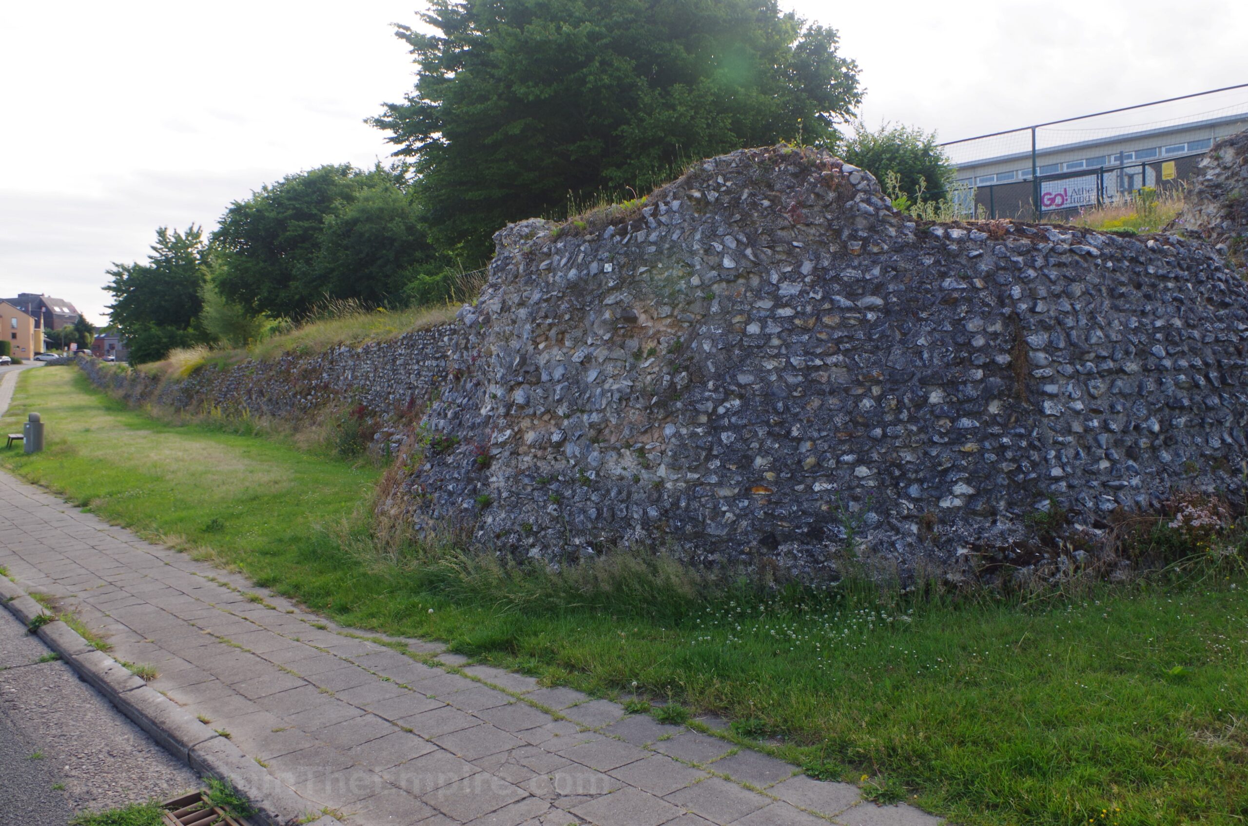
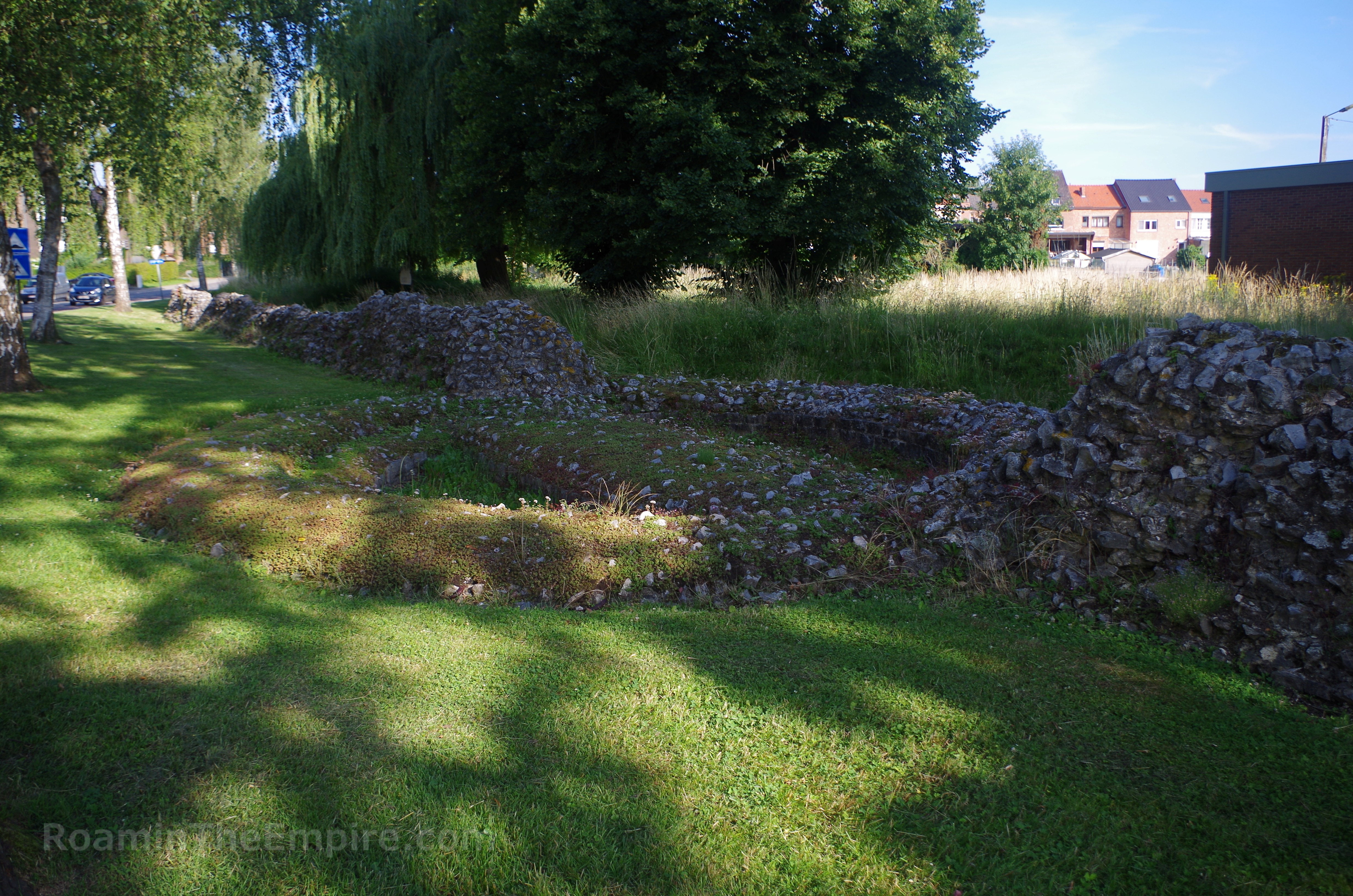
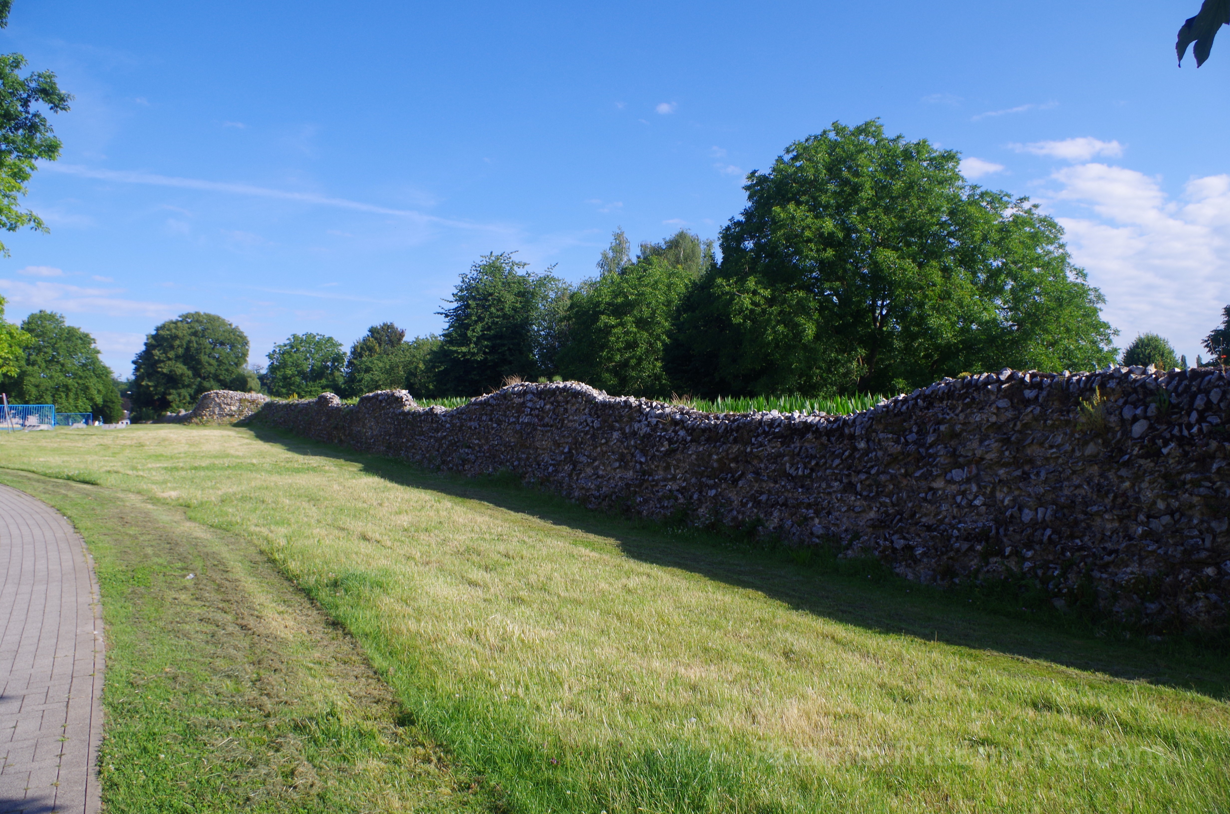
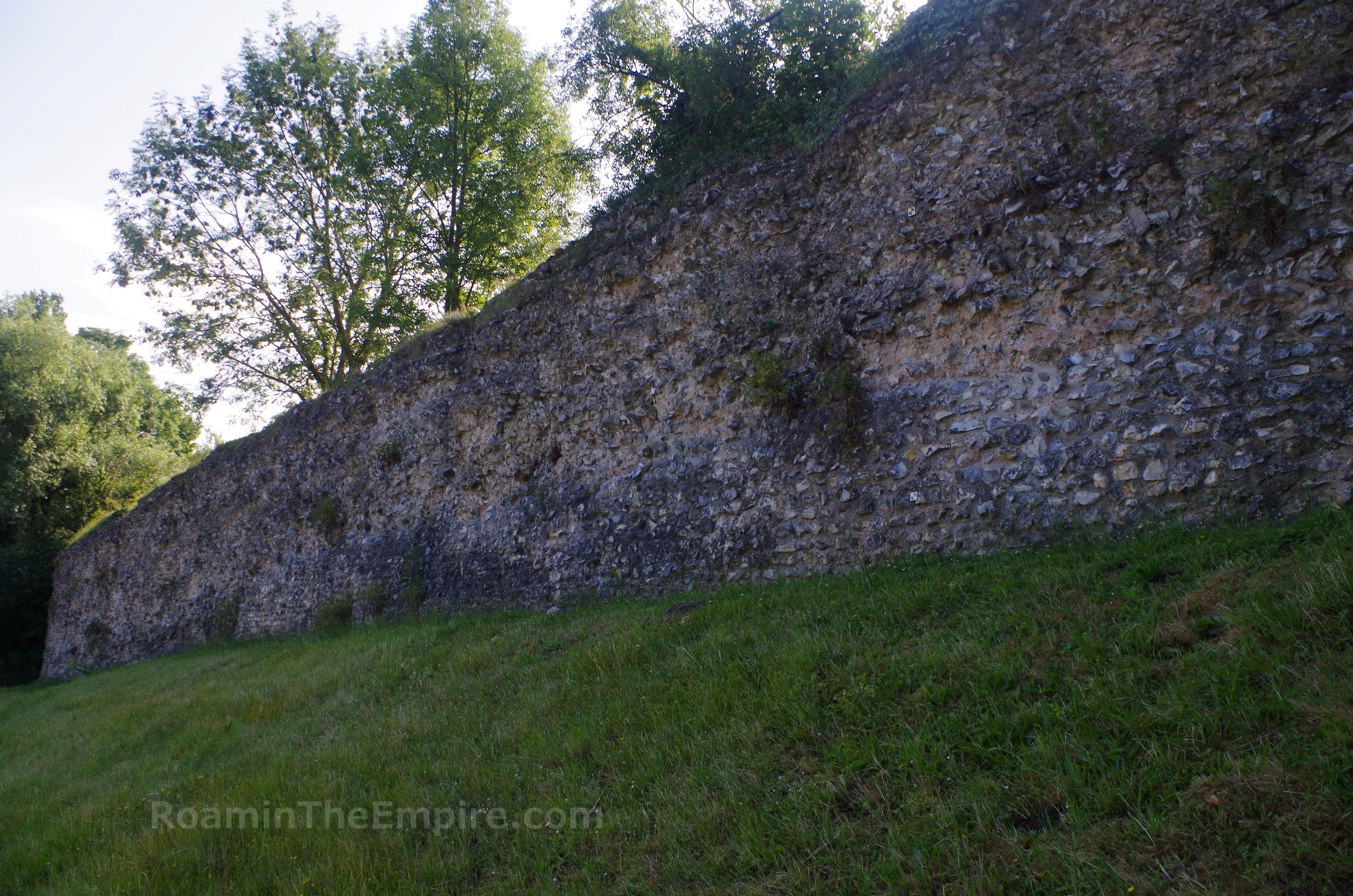
The most impressive remnants of Aduatuca Tungrorum is the Roman defensive wall. Originally constructed in the 2nd century CE, the circuit of walls ran about 4.5 kilometers at height of about 6 meters and thickness of about 2 meters. The walls were rebuilt following the destruction in the late 3rd century CE, and reduced to enclose a smaller area with a circuit of only 2.6 kilometers. They were, however, built more robustly with an average thickness of around 3 meters. The remnants of the walls that are visible now date to the earlier circuit of walls.
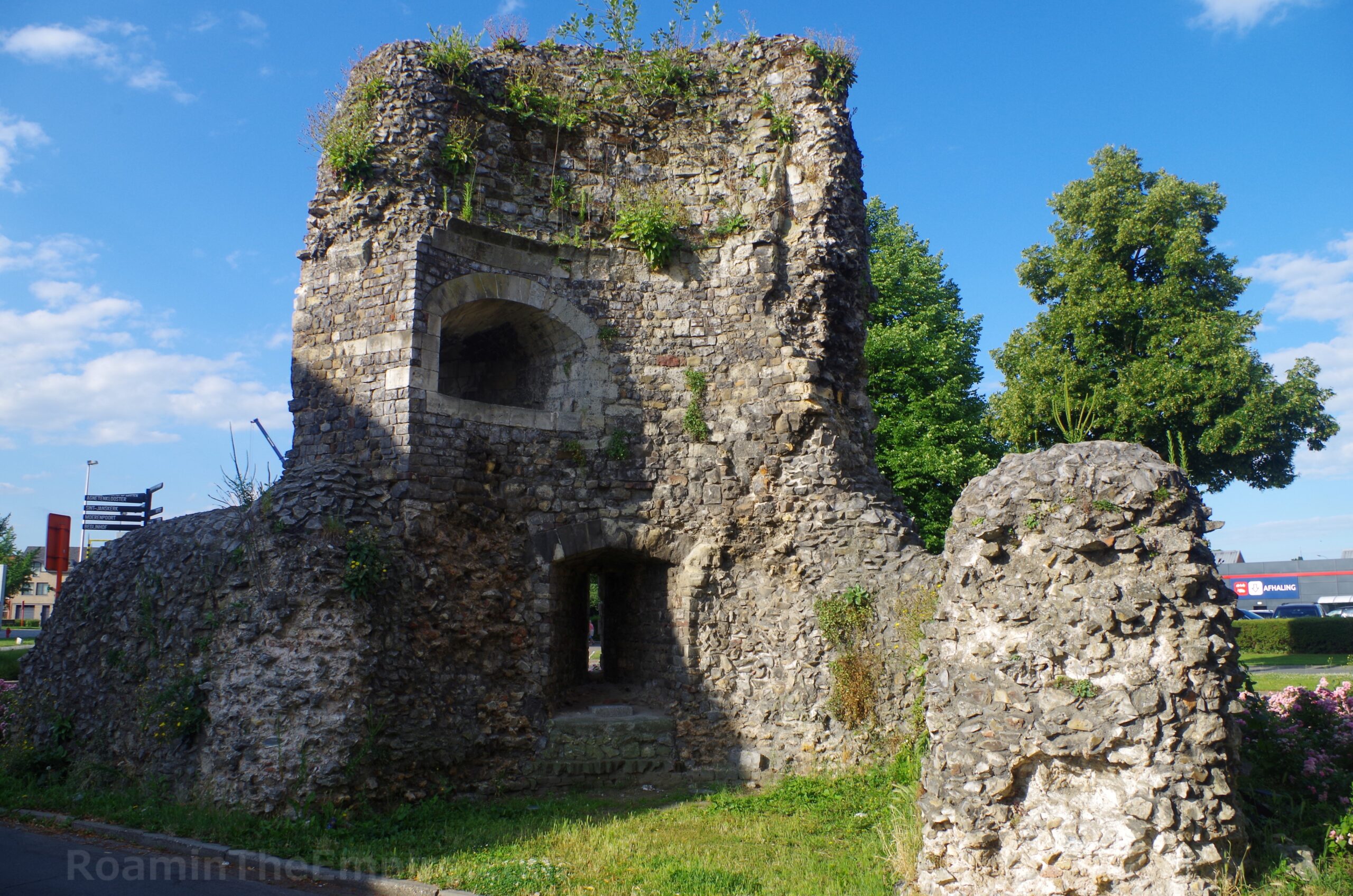
In the south part of Tongeren (incidentally near one of the better parking areas), at the intersection of Albertwal (R72) and Luikerstraat is the Velinx Tower. The tower itself belongs to the 13th century CE defensive fortifications of the city, but the tower and adjacent wall incorporate elements of the original Roman fortifications. The tower also reuses material spoliated from the Roman wall in its construction. The Velinx Tower is open access, located in the median of Albertwal.
About 5 minutes from the tower (walking) south on Luikerstraat to the intersection with Molenstraat, is the start of about 2 kilometers of a mostly unbroken circuit of the 2nd century CE Roman walls that enclosed the western and northwestern parts of the city. The walls start about 120 meters west of the intersection of Molenstraat and Sabinuslaan and continue west along the latter. There’s a tower foundation about 65 meters on. The walls continue to the intersection with Koninksemsteenweg and across along Cottalaan. There are a couple more towers in this stretch between Koninksemsteenweg and the traffic circle intersection with Romiense Kassei. The wall cuts through a green area north of the traffic circle and then turns northeast along Kruissteenweg. The wall disappears for a short stretch as it crosses Kruissteenweg and picks back near the intersection with Legioenenlaan.
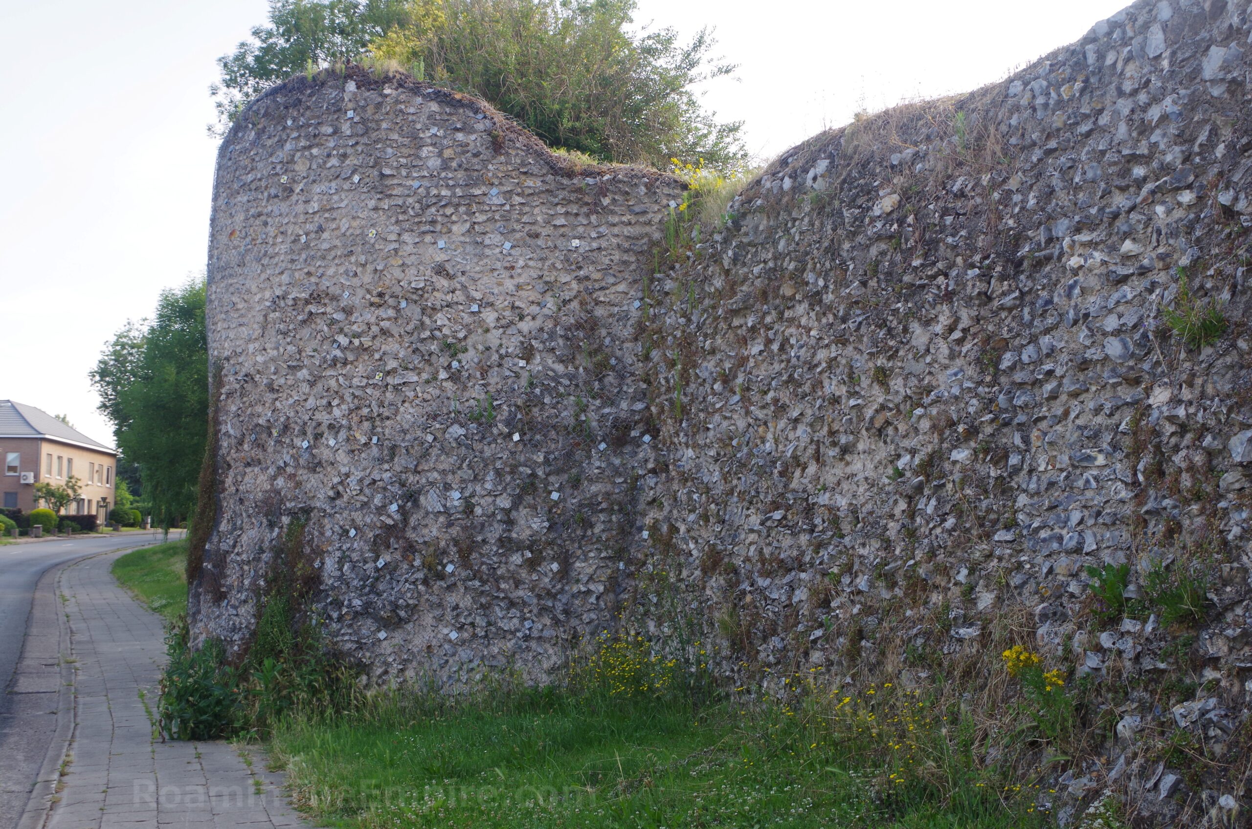
The wall continues northeast along Legionenlaan for about 200 meters before it disappears. The wall picks up again just past Legionenlaan’s intersection with Beukenbergweg. The wall is preserved at a significant height in this section. There are some points along here at which the vegetation mostly obscures the wall, and the wall disappears again completely about 75 meters before the intersection with Hasseltsesteenweg. The wall picks up again on the other side of the intersection where the street turns into Cesarlaan. The wall continues along nearly the entire length of Cesarlaan, again preserved to a significant height at some points, and with a few towers also visible, until about 50 meters west of the intersection with Blizersteenweg, where the circuit of walls ends.
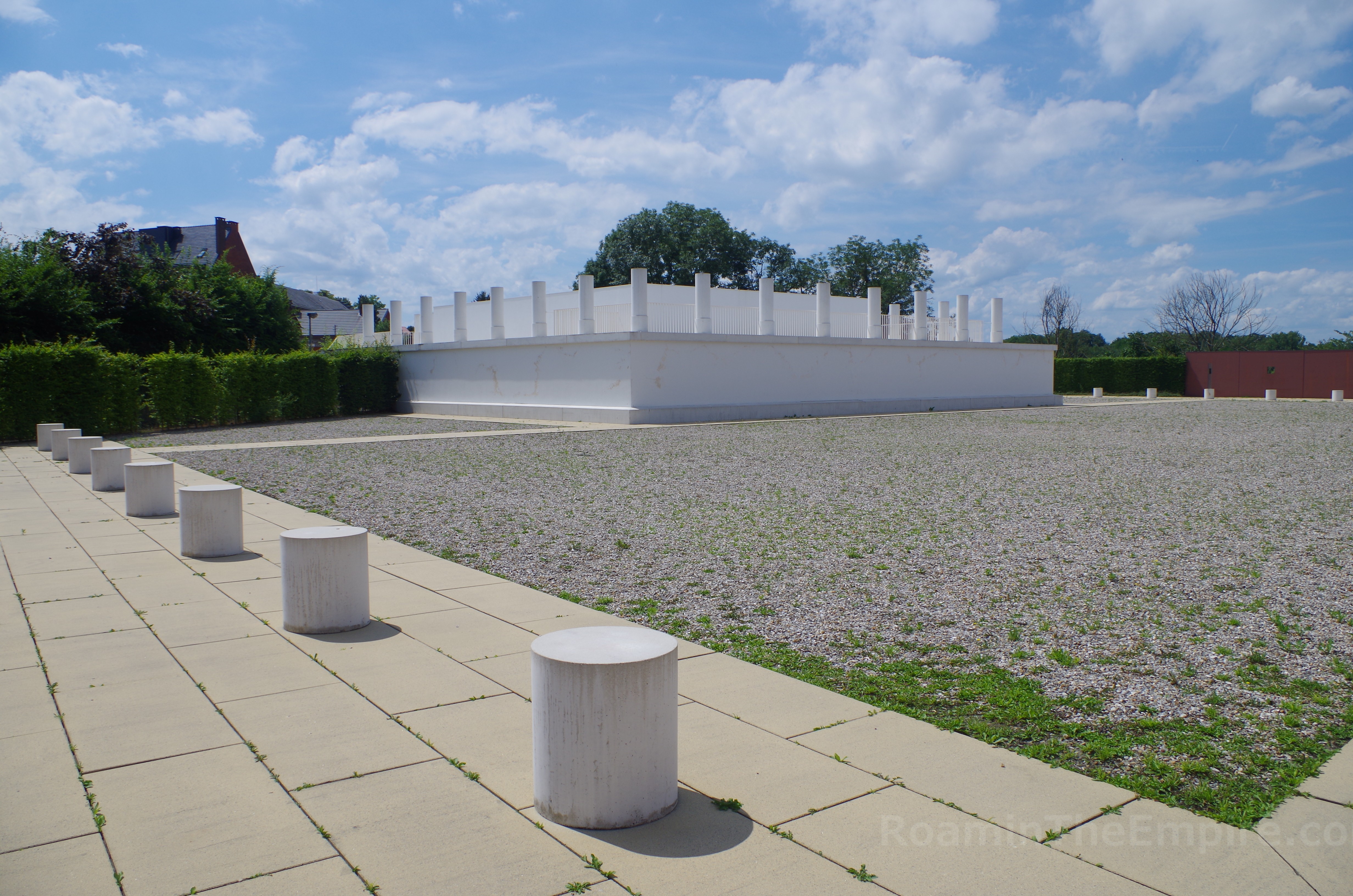
Effectively on the other side of the fortification walls that run along the first part of Cesarlaan, is the reconstruction of a Gallo-Roman temple. It is accessible by taking Hasseltsesteenweg southeast to the next road, Keversstraat, and then a small alley back to the northwest about 50 meters from the intersection. Though it is not a ticketed site with controlled entrance, the space does have opening hours; from April through September, it is open daily from 9:00 to 17:00. The rest of the year it is accessible from 9:00 to 16:00.
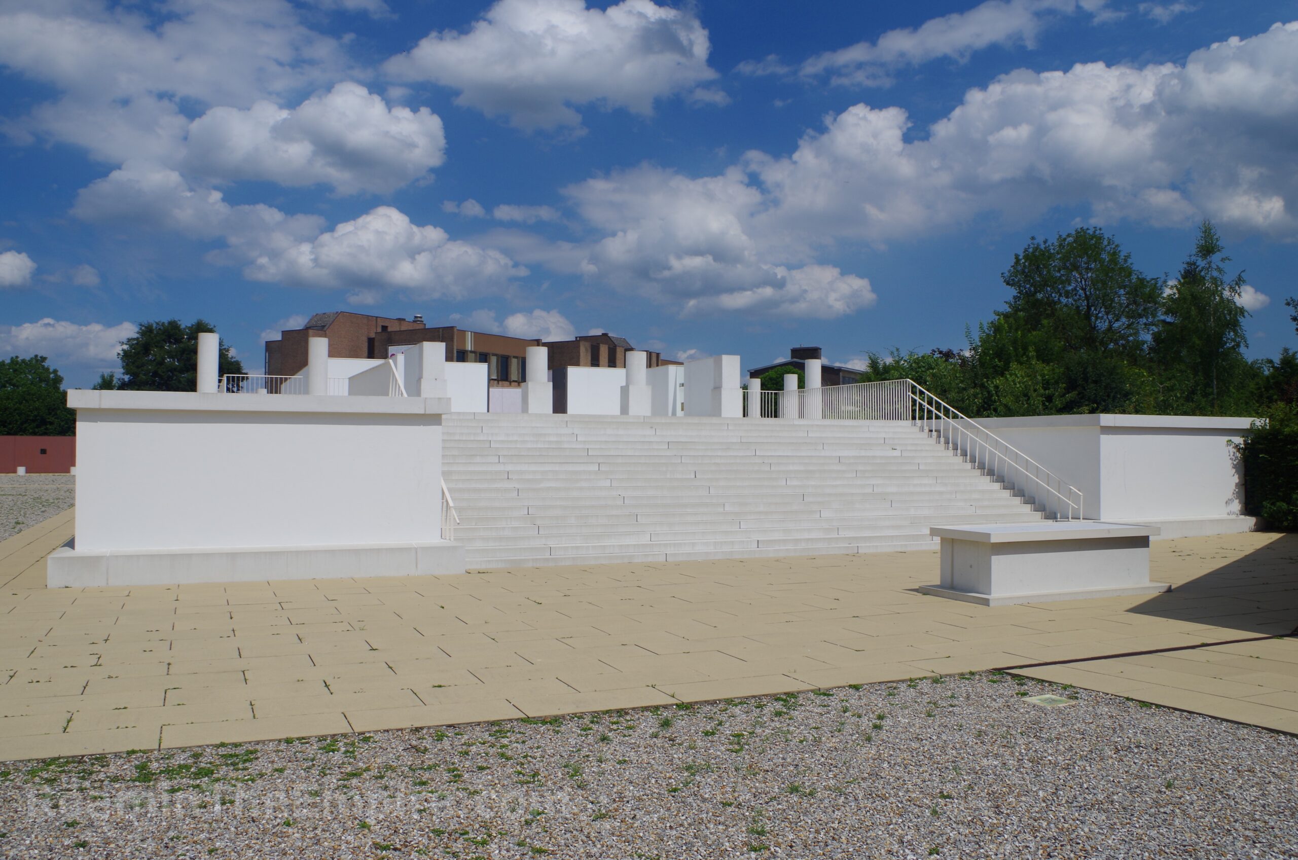
The original sanctuary built around a fanum style temple sat at the high point of the city, and was constructed in the late 1st century CE on an artificial terrace. The deity to which it was dedicated is unknown, though columns dedicated to Jupiter were found in the vicinity. The prominent location may also suggest a dedication to Jupiter or possibly the imperial cult. Unfortunately, nothing is left of the original temple. What is here now is a reconstruction of a colonnade surrounding three sides of the temple (constructed to maybe half a meter height), the temple podium, and about 2 meters of the temple colonnade and cella. There is some information in Dutch, French, German, and English as well as diagrams and illustrated reconstructions of the temple.
A few blocks south/southeast of the reconstructed temple is the Gallo-Romeins Museum, located at Museumkwartier 5 in the very center of the city next to the basilica. The museum is open Tuesday through Friday from 9:00 to 17:00, though during school holidays the hours are extended to 18:00. Saturday and Sunday it is also open from 9:00 to 18:00. On Mondays the museum is closed, unless a public holiday. Admission is 8 Euros.
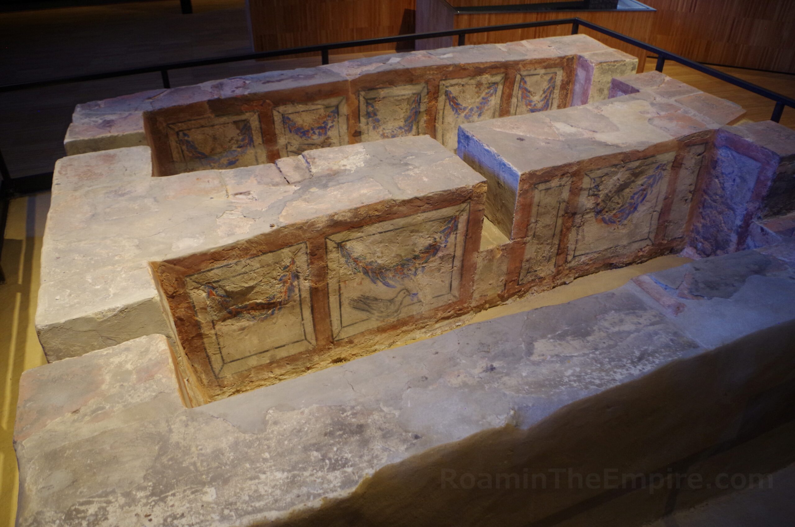
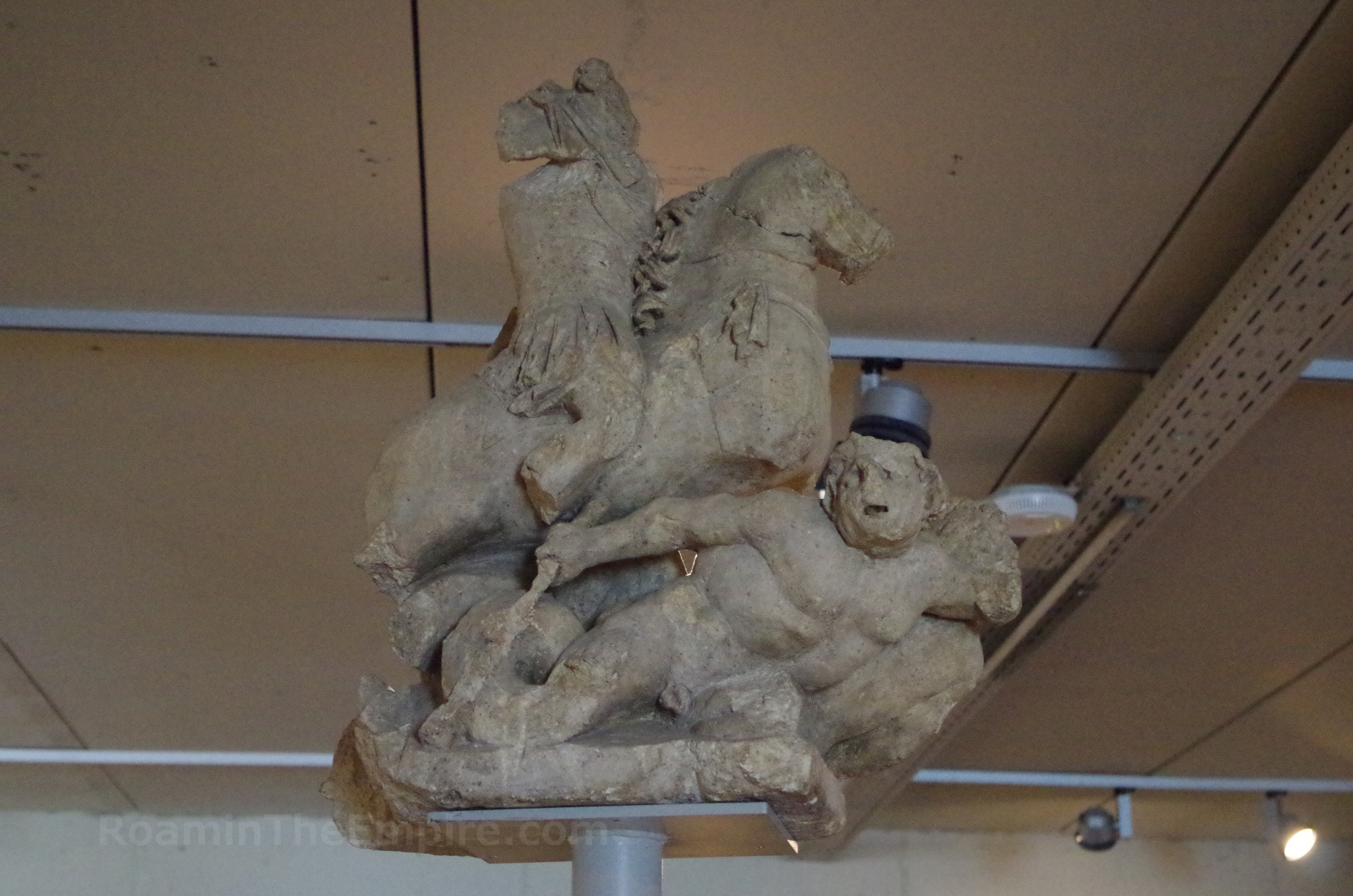
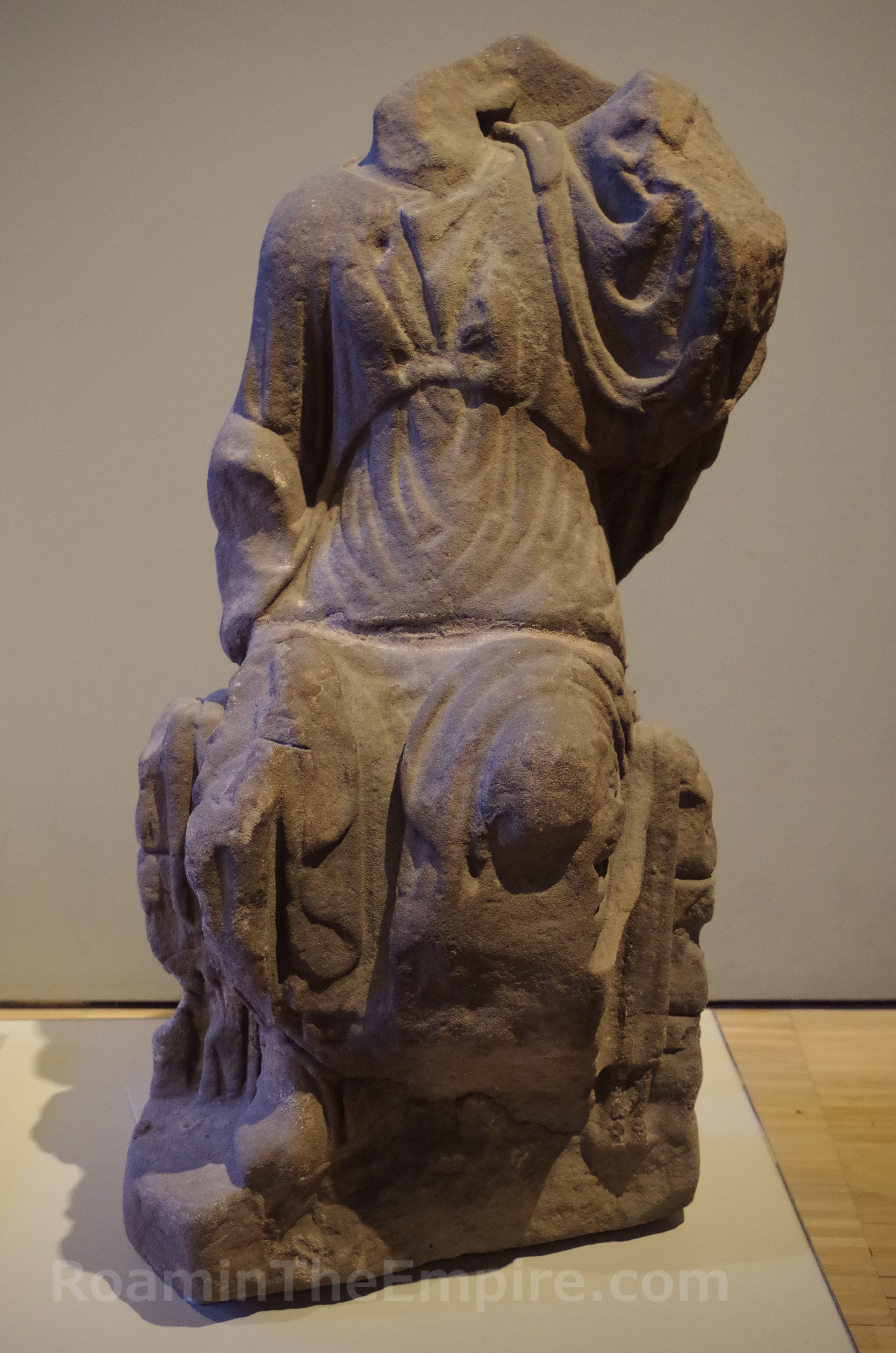
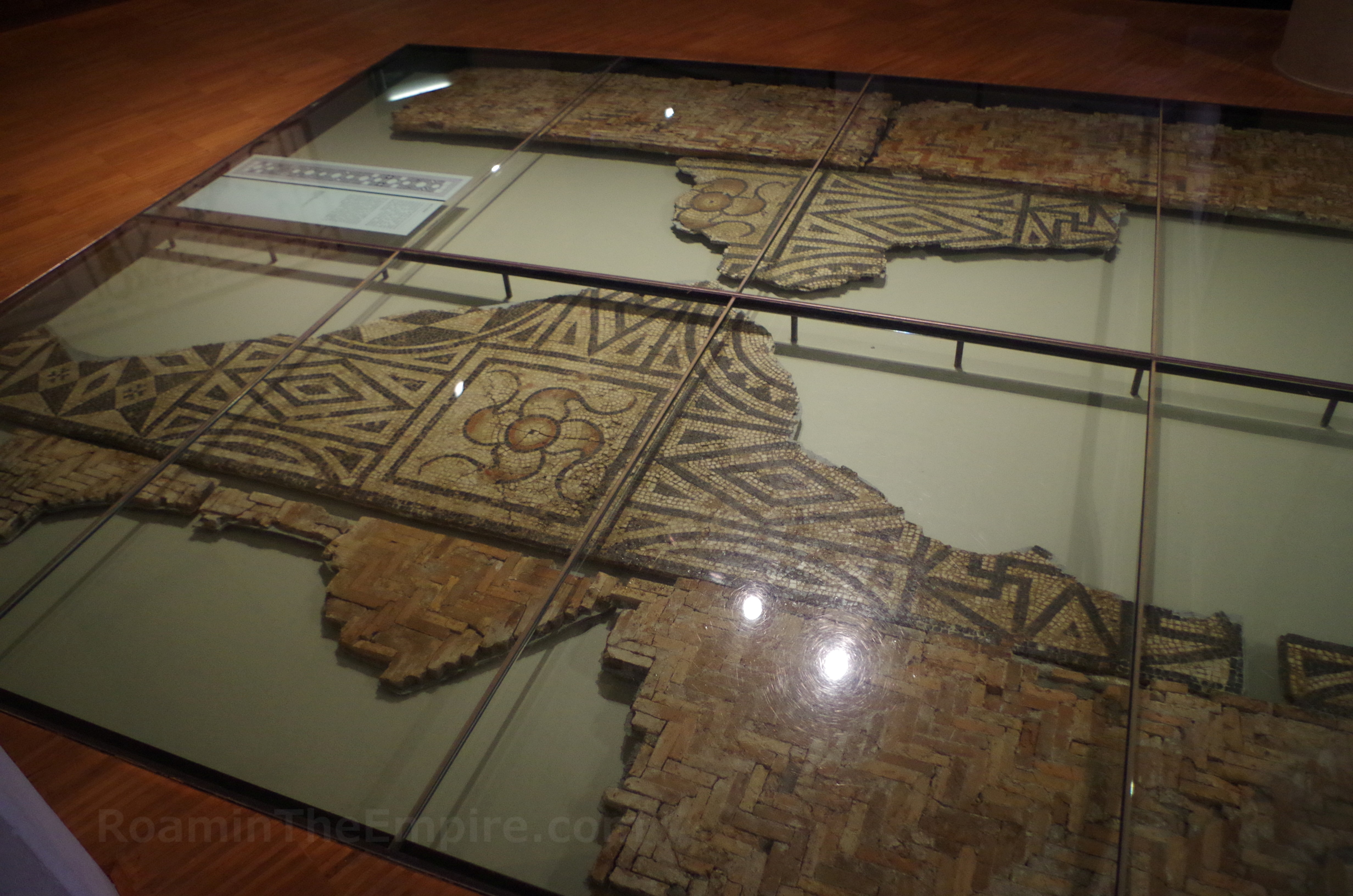
As the name of the museum would suggest, the focus of the collection is on the Roman and Gallic periods of occupation in the area. The museum does have some space dedicated to the time periods before these, though. There are a lot of models, dioramas, casts, replicas, and reconstructions; perhaps more than I would have liked to see. I understand the purpose, but you have to be a little vigilant about sorting out the actual artifacts from the replicas at times. There are some nice pieces in the collection; some statuary (many of the statues are casts), relief blocks, mosaic, even some frescos. There are many coins and other smaller finds including bronze statuettes. The highlight of the collection, for me, was a painted tomb dating to the first half of the 4th century CE.
Pretty much all the printed information in the museum is in Dutch, though audio guides are available in other languages. It was a stylish and modern looking museum, but I was a bit disappointed by the lack of original objects. It certainly leans more towards the experience than a typical archaeological museum. It took me a little over an hour to get through the museum, but I was selective on what I would take the time to listen to on the audio guide; someone wanting the full experience could likely spend a couple hours there.
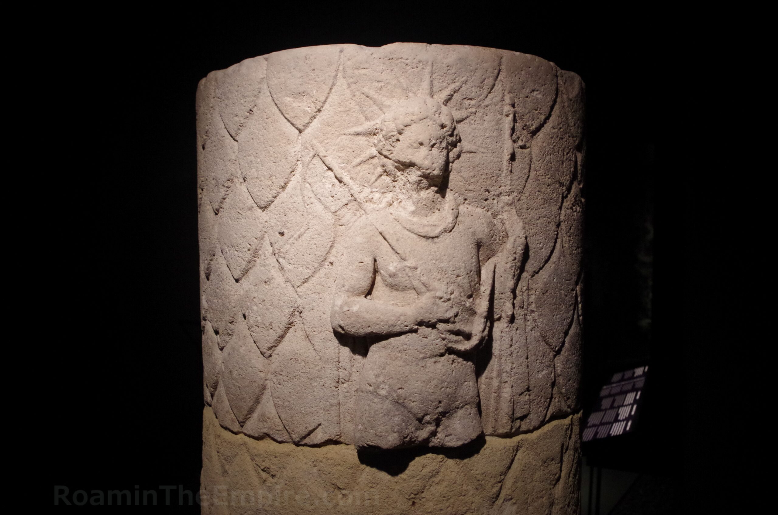
Just next to the Gallo-Romeins Museum is the Basilica of Our Beloved Lady (Onze-Lieve-Vrouwe Basiliek). In the basilica is the Teseum, a series of visitable features including the treasury, tower, and archaeological rea beneath the church. The Teseum is open Tuesday to Sunday from 10:00 to 17:00 and is closed on Mondays. Admission to the archaeological area is 5 Euros, or can be combined with the treasury for 8 Euros.
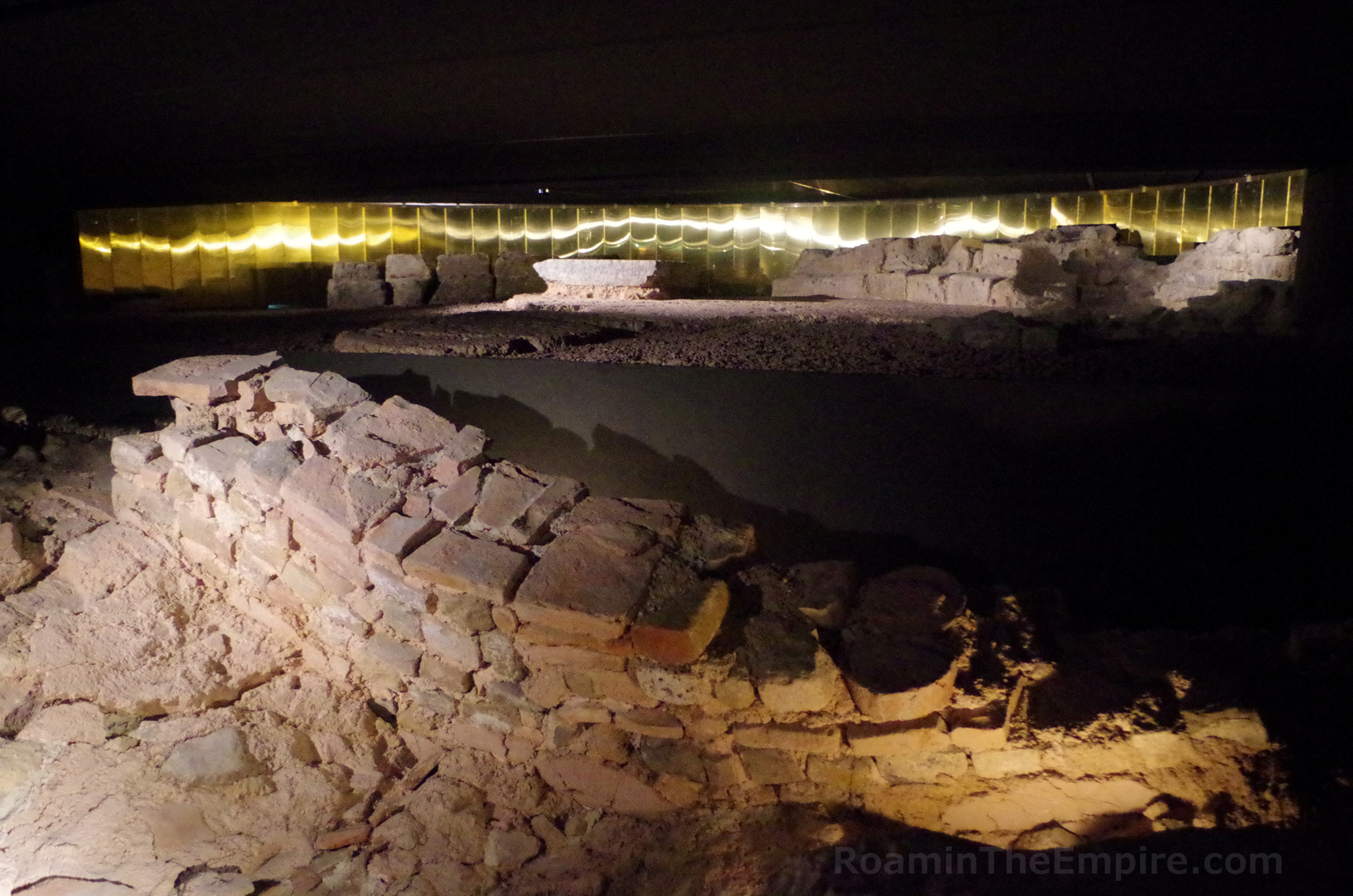
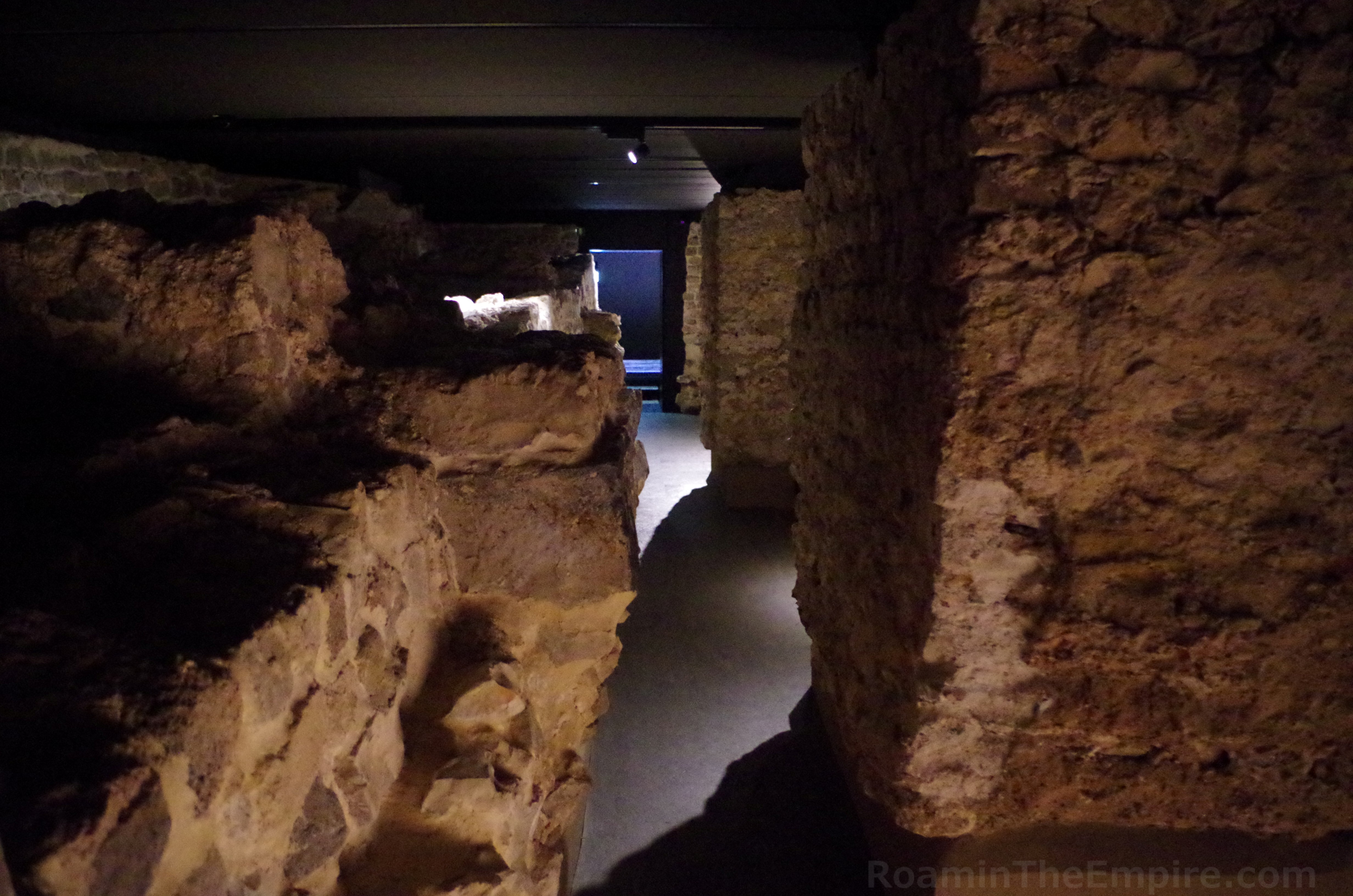
As one might expect, much of the archaeological area beneath the church is dedicated to previous iterations of the church; 4th, 10th, 11th, 12th, and 13th century CE religious buildings. There are, however, several remnants from the Roman period that can be seen in this archaeological crypt. The first religious building found on the spot is a Christian basilica built around the middle of the 4th century CE. The later 4th century CE walls enclosed the area through the western part of the modern basilica. There are a few points through the archaeological crypt in which remnants of the earliest basilica are visible. In the apse of the basilica, it is noted that a Roman monument of some sort preceded the building.
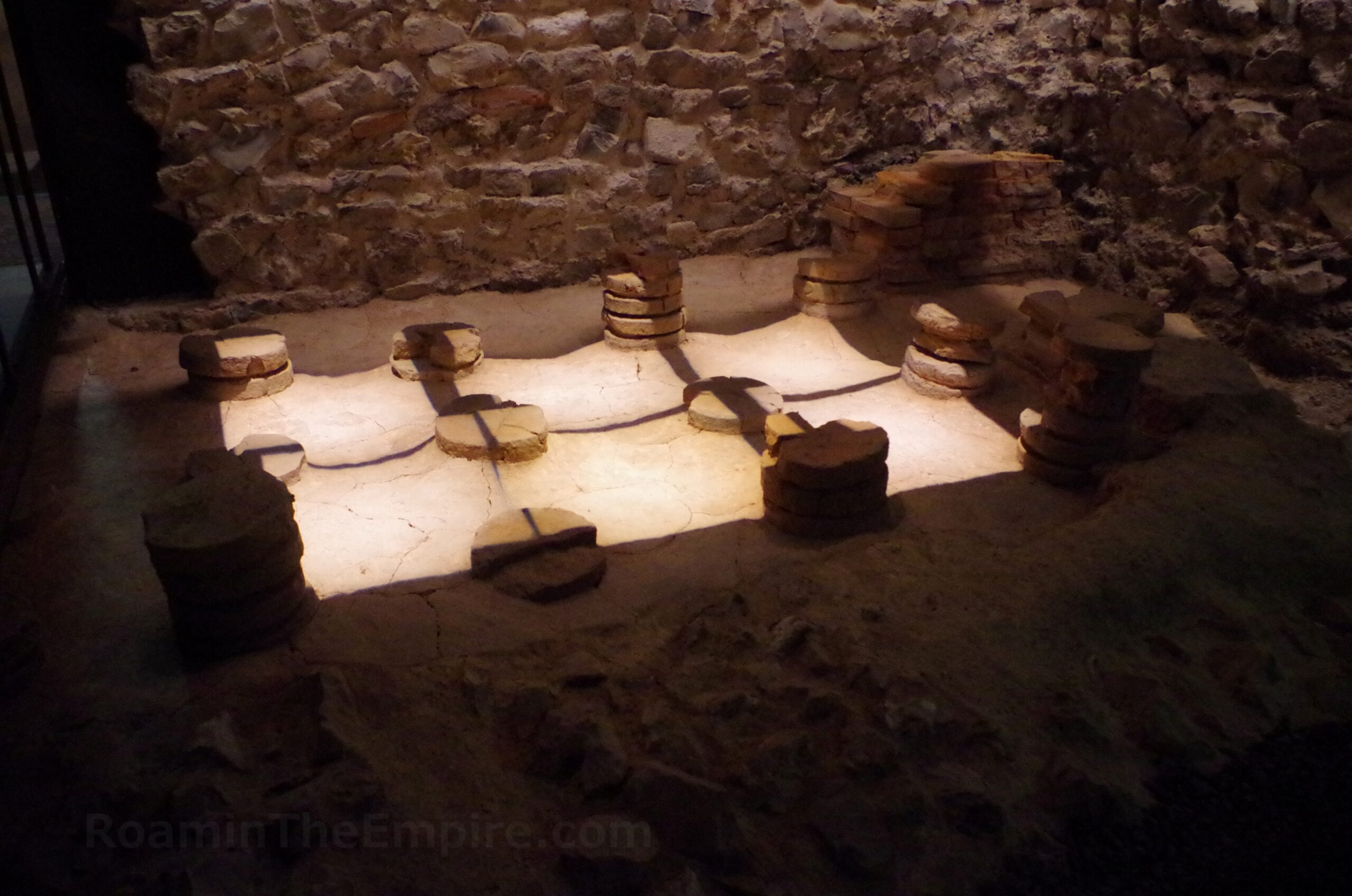
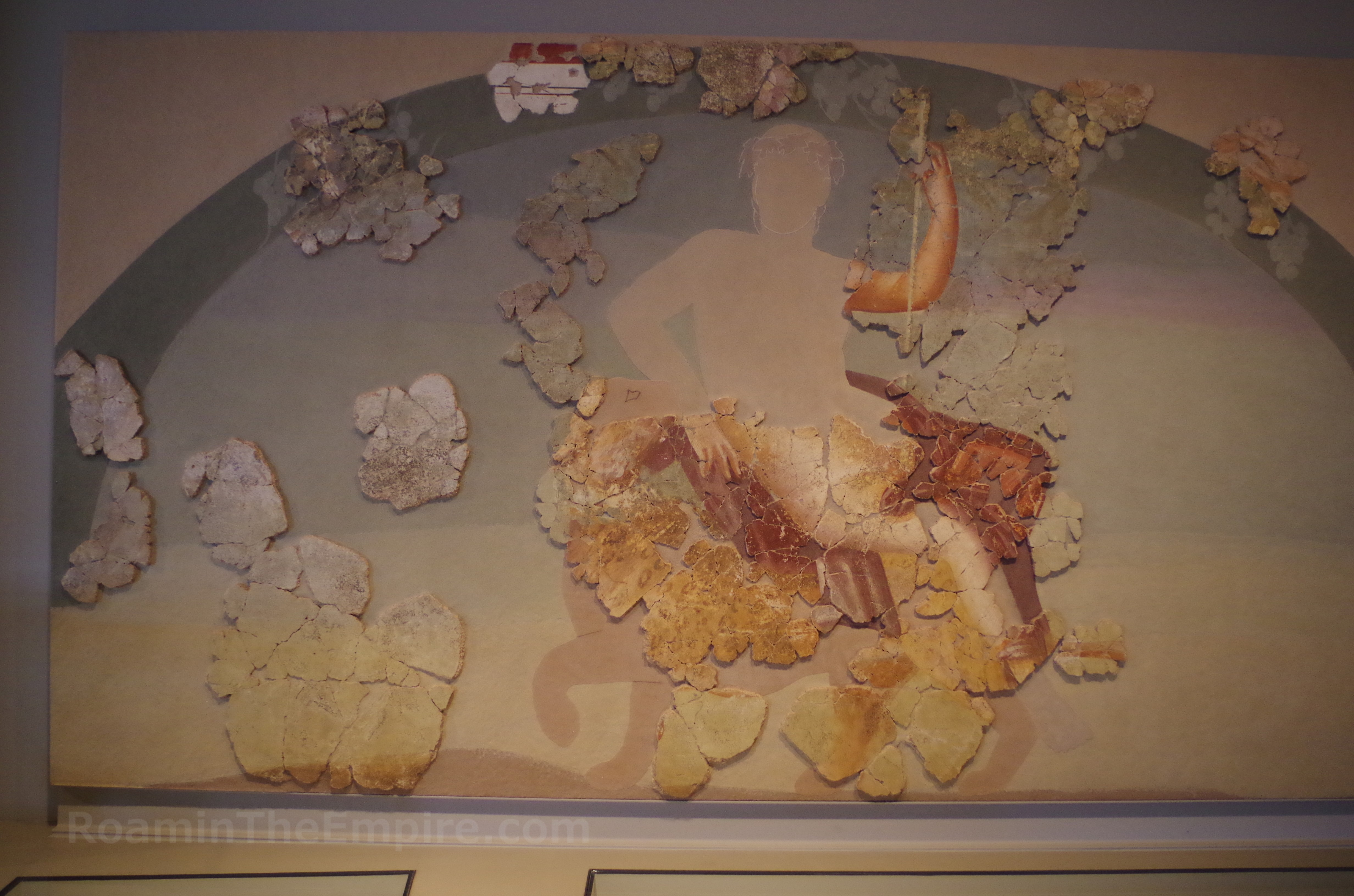
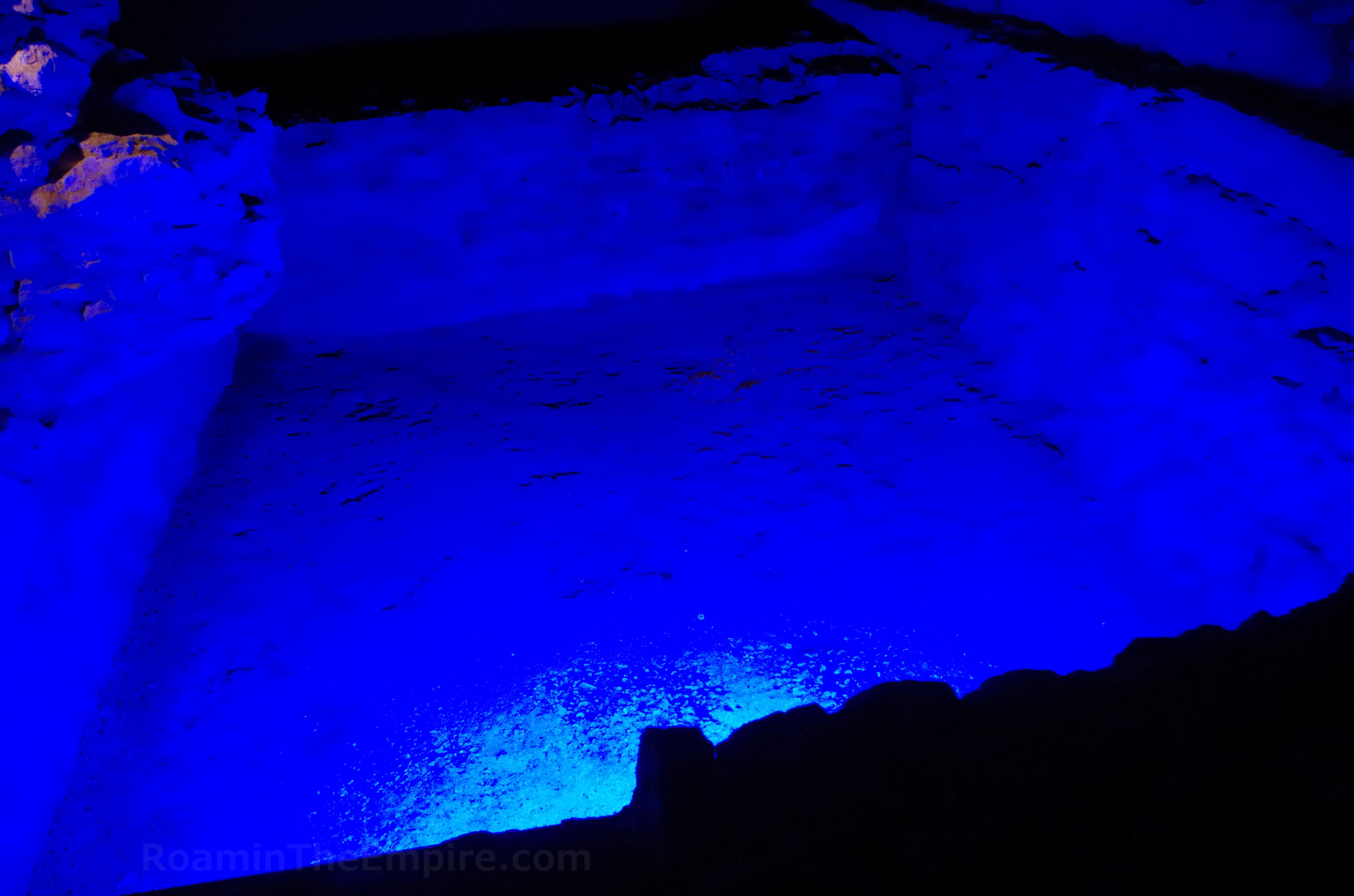
A small portion of a bathing complex constructed in the late 3rd century CE has also been found. Most notably part of a heated room with a hypocaust system. A nearby water basin, now cast in a blue light, may also be associated with the baths as it dates to the same construction period. Another part of the crypt displays the cellar area of a 1st century CE house that burned down in the 274/5 CE destruction of the town at the hands of the Franks. In addition to the fresco fragments, there are some other objects either found in the excavations or recovered as later building materials; including coins, inscriptions, reliefs, and part of a Jupiter column. Most of the information in the crypt was available in Dutch, English, French, and German. It took me about an hour to work through the entirety of the excavations.
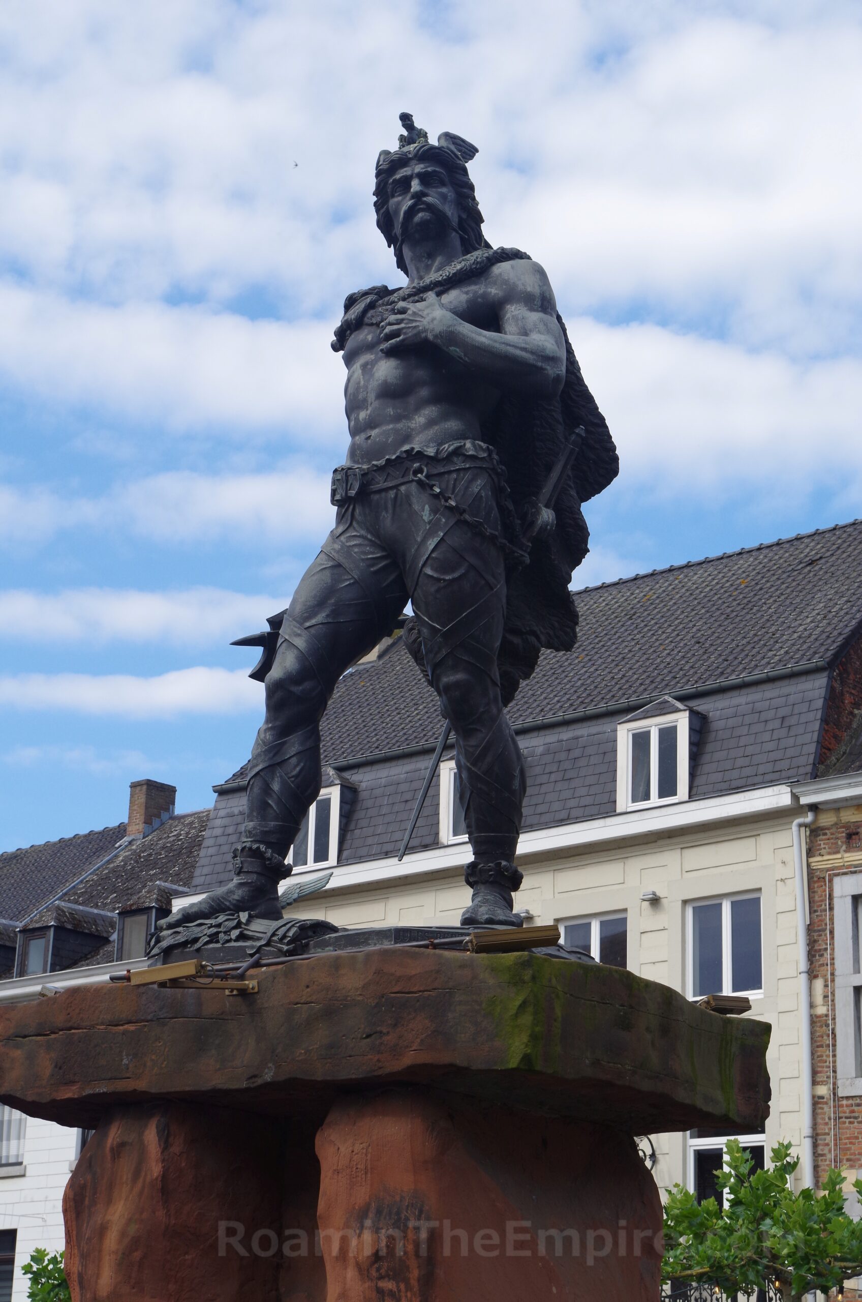
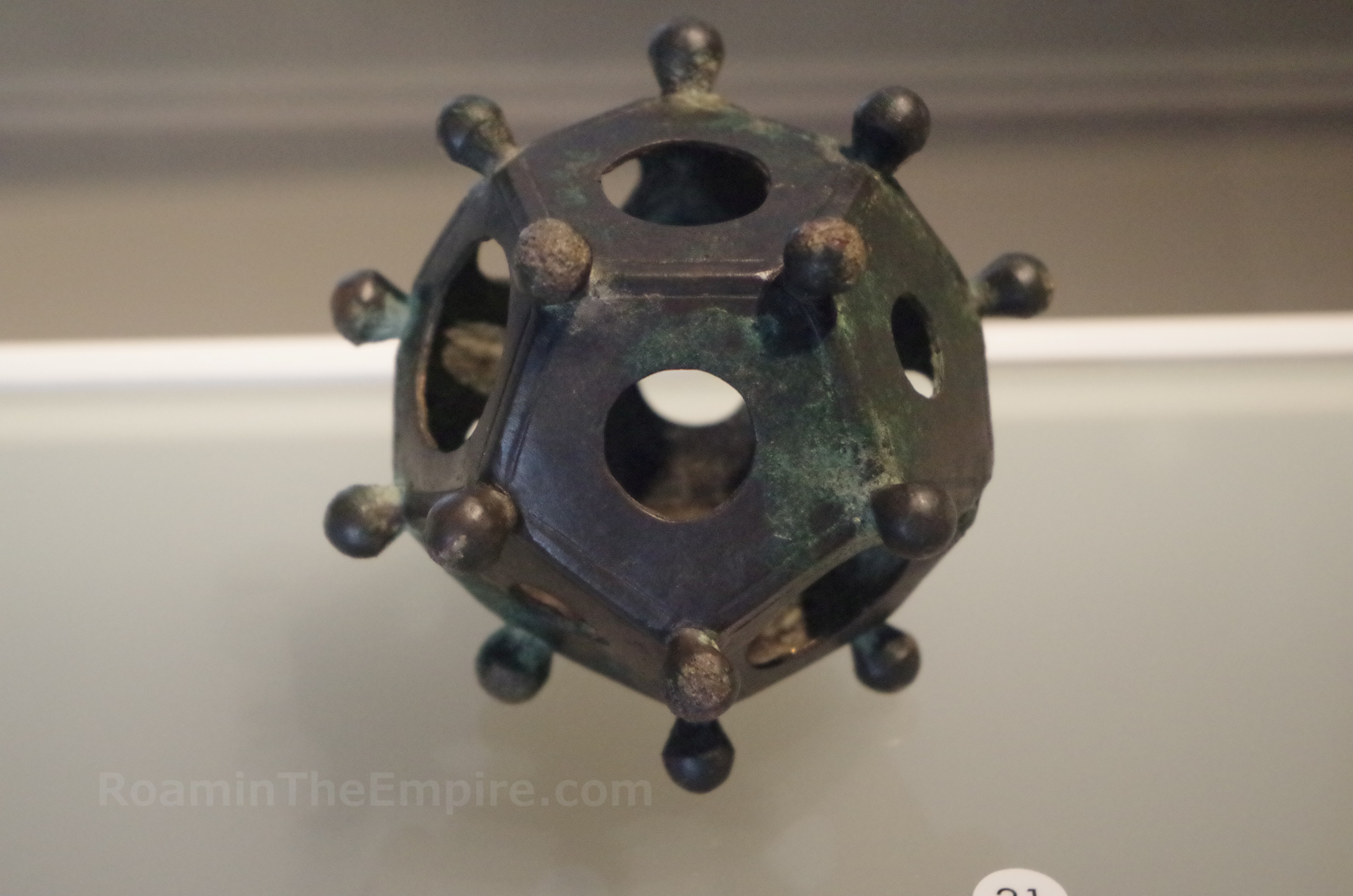
Though not archaeologically significant, it’s worth noting there are a few interesting public art pieces nearby. On the west end of the plaza adjacent to the basilica is a statue of Ambiorix, one of the Eburone kings that led the uprising against the Romans. A block west of that on Sint-Truiderstraat, at the intersection with Nieuwstraat, is a statue of the dodecahedron, of which one is among the collections of the museum. It’s also worth noting that in the northwest of the city, just a short deviation from the 2nd century CE circuit of walls, is the so-called Aqueduct Trail. Though there is nothing left of the actual aqueduct, it is believed to have been made of wood, the trail follows along an earthen berm that was constructed to support the aqueduct’s course to Aduatuca Tungrorum. Honestly, there’s not really anything to see, even the earthen works seem to be barely perceptible.
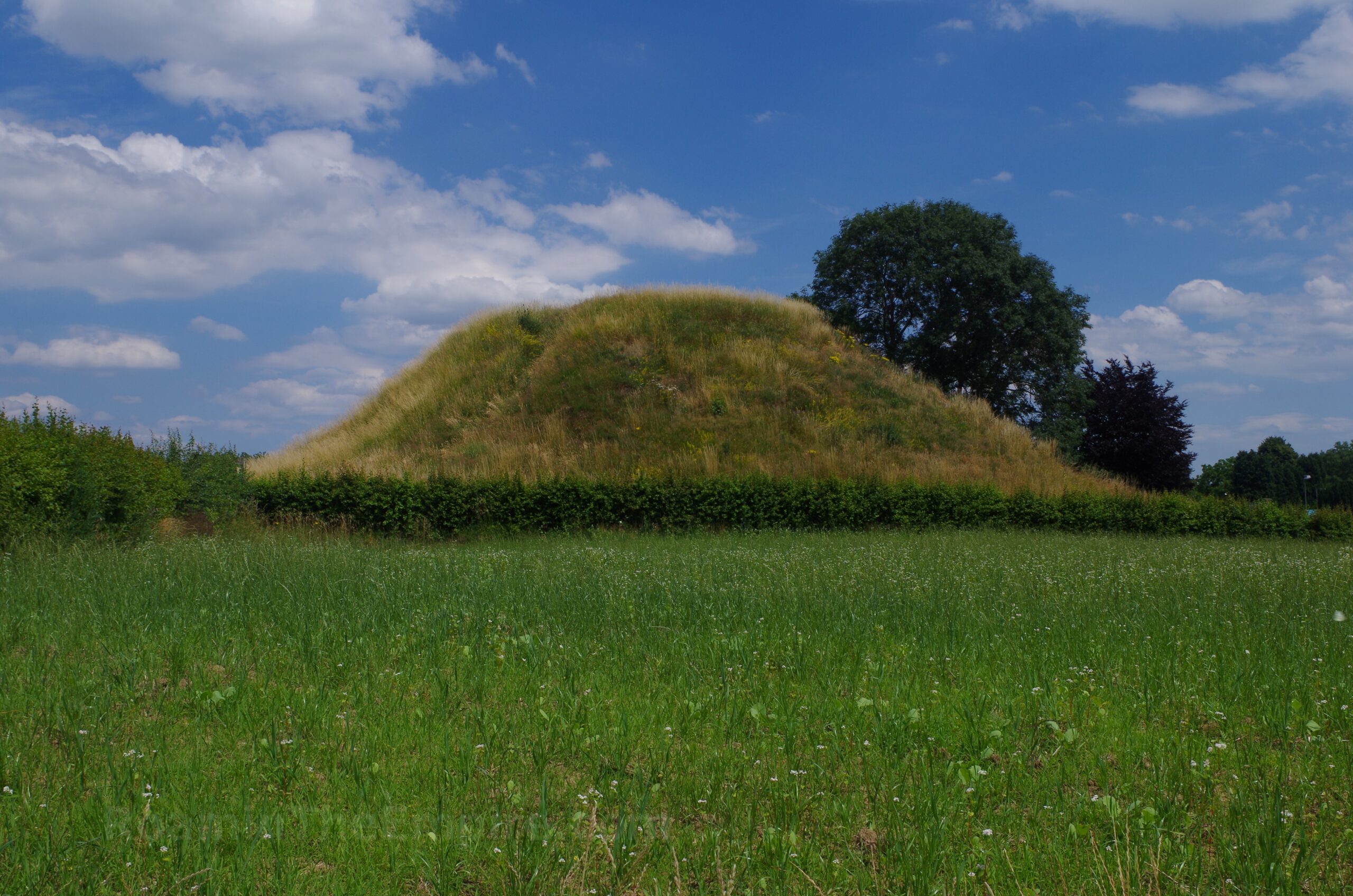
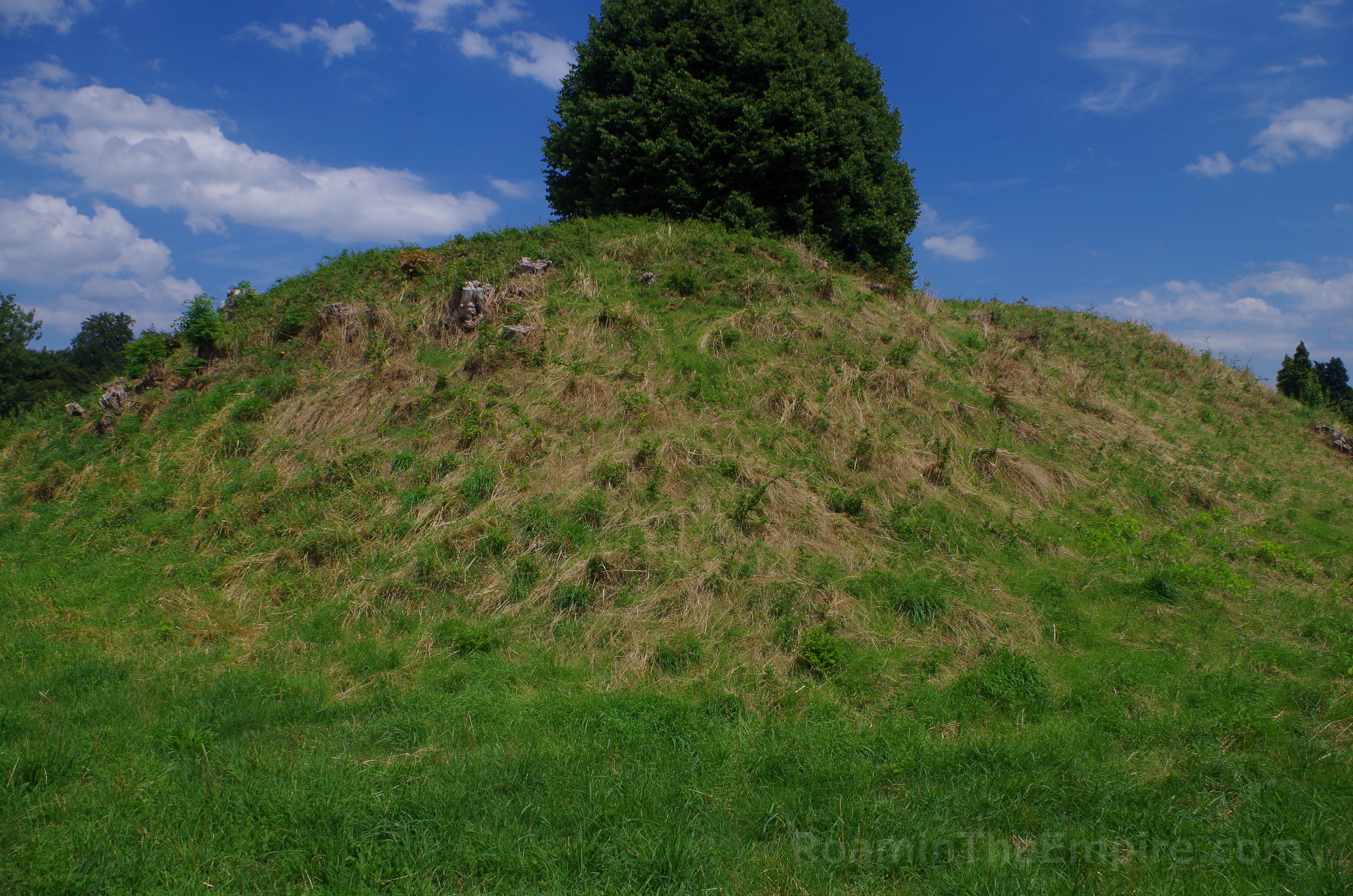
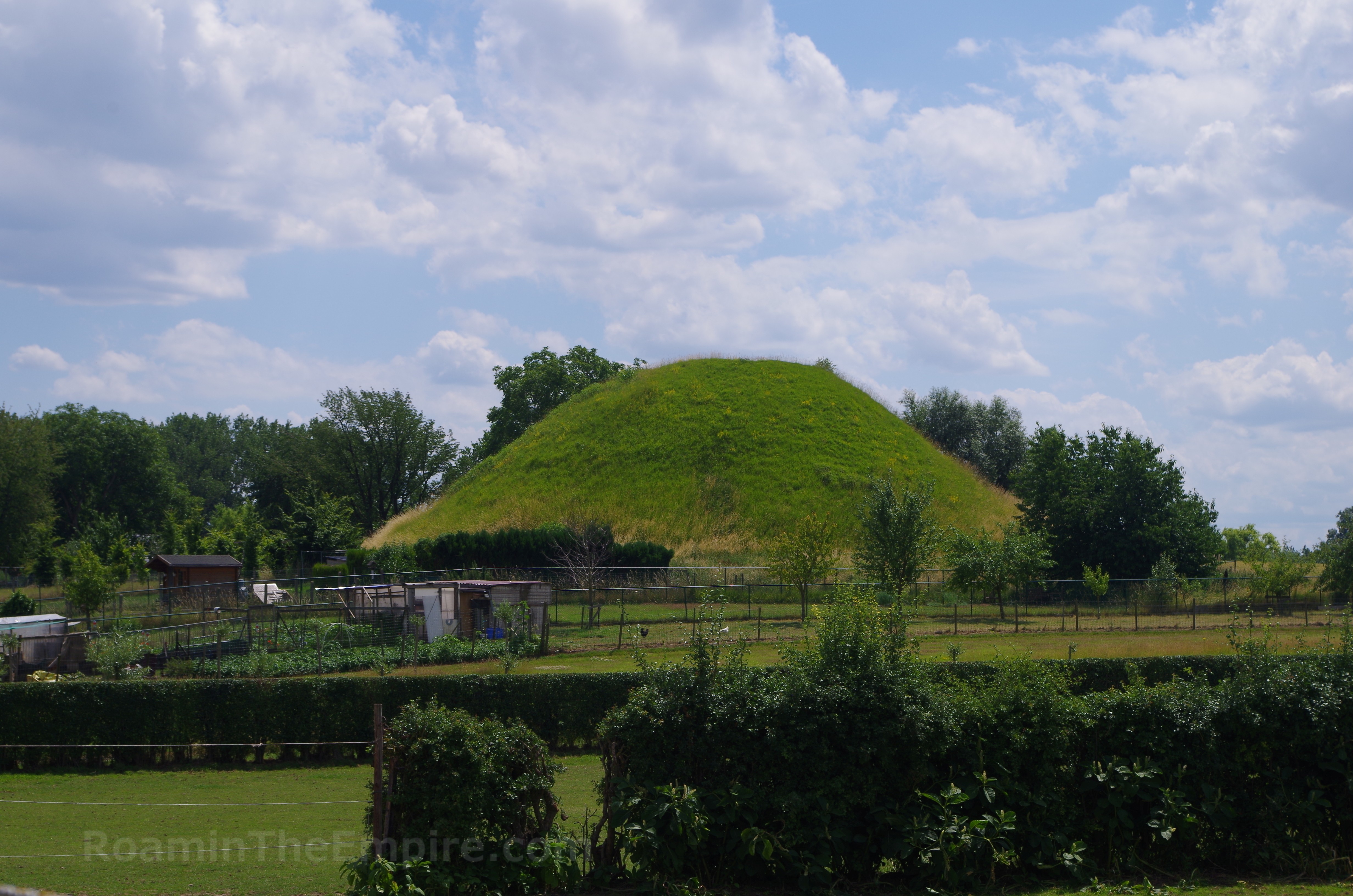
Also in the outskirts of the modern town are three tumuli dating to the 1st through 3rd centuries CE. None of these are directly accessible, they all appear to be on or surrounded by private land with no public access. They can all easily be seen from public roads, though; Romiense Weg, Romiense Kassei (for Tumulus van Koninksem), and Paardsweidestraat.
I spent a total of about 6 hours visiting Tongeren and the remnants of Aduatuca Tungrorum (including a half an hour diversion to try and find anything perceptible from the aqueduct). The remaining wall is impressive and the Teseum was well worth the stop; it makes for a decent day trip from Brussels or even Maastricht if you have your own transportation.




Sources:
Grant, Michael. A Guide to the Ancient World: A Dictionary of Classical Place Names. New York: Barnes & Noble Books, 1997
Julius Caesar. Commentarii de Bello Gallico, 5.26-58, 6.29-44.
Nouwen, Robert. “Atuatuca Tungrorum, the First Known Municipium of Gallia Belgica?” Zeitschrift Für Papyrologie Und Epigraphik, vol. 115, 1997, pp. 278–80.
Pliny the Elder. Historiae Naturalis, 4.106.
Ptolemy. Geographia, 2.9.5.
Smith, William. Dictionary of Greek and Roman Geography. Walton & Murray, 1870.
Stillwell, Richard, William L. MacDonald, and Marian Holland. McAllister. The Princeton Encyclopedia of Classical Sites. Princeton, NJ: Princeton U Press, 1976.
Tacitus. De Origine et Situ Germanorum, 2.
Tacitus. Historiae, 2.14-15, 4.66.