


Most Recent Visit: June 2025
The Kisamos that was the precursor to modern Kissamos was one of two settlements in western Crete with that name. The Kisamos at hand is located in the northwest of Crete, at the south side of the Sinus Myrtilos (modern Kolpos Kissamou) created by the Tityros and Korykos promontories (the modern Rodopou and Gramvousa peninsulas, respectively). The other must have been farther east along the coast, as it is described by Strabo as the seaport of Aptera. This western Kisamos is sometimes described as possibly having been the seaport of Polyrrhenia, though that distinction is typically attributed to nearby Phalasarna instead, located along the west coast of Crete, about 8 kilometers from Kisamos.
Though remains of an Early Minoan II to Late Minoan III settlement and a 3rd-4th century BCE settlement have been found in the area (to the west near modern Drapanias), Kisamos itself seems to have been founded in the mid to late 1st century BCE, probably following the destruction of Phalasarna by the Romans in 69 BCE. By 67 BCE the entirety of the island had come under the hegemony of the Romans. Following the destruction of its port of Phalasarna, Polyrrhenia itself entered a period of decline. With Roman hegemony came a steep decline in piracy in a once heavily pirated area, no longer necessitating an inland, fortified hilltop settlement like Polyrrhenia.
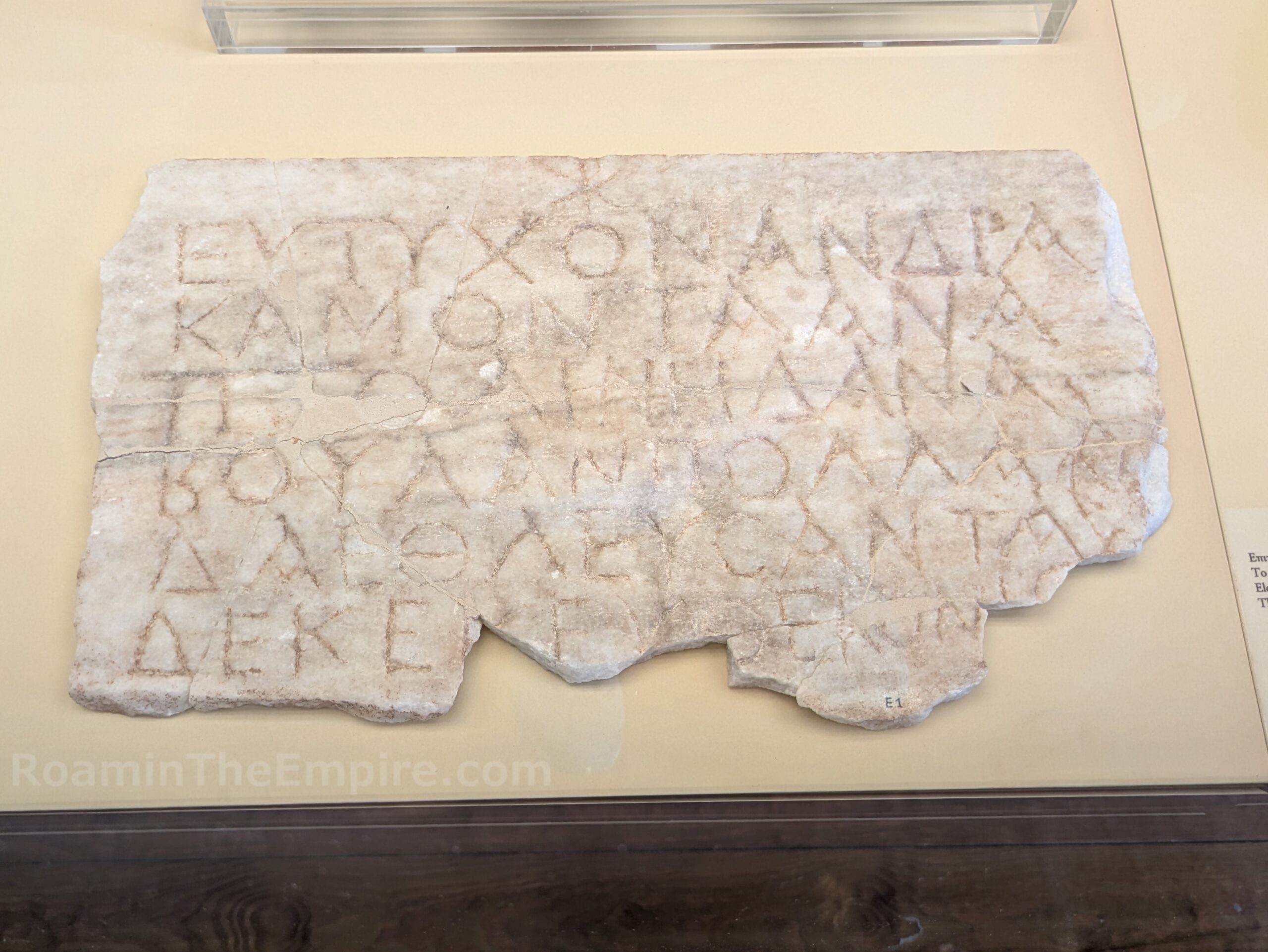
Though Polyrrhenia continued to exist in the Roman period, populations seem largely to have shifted to the coast and Kisamos. The earthquake of 66 CE may have further encouraged migration to the coast, and by the end of the 1st century CE, Kisamos seems to have eclipsed Polyrrhenia in importance, though it is interestingly not mentioned among the cities of Crete by Pliny the Elder. The city is believed to have been at its most prosperous in the late 2nd and early 3rd century CE. By the 4th century CE, it was listed as one of the four primary cities of the island. The city may have had civitas libera status by this time as well. The presence of an inscription (pictured above) dated to the 3rd century CE which mentions the boule, in the absence of evidence indicated the city had colonia or municipium status, has supported the theory of civitas libera. The city was heavily damaged in an earthquake occurring July 21, 365 CE and centered off the southwest coast of the island. Kisamos was not totally abandoned following the earthquake, but saw a significant reduction in prominence through the remainder of antiquity.
Getting There: Kissamos is the probably the most significant city along the north and west coast of Crete, west of Chania. There are relatively frequent bus connections between Chania and Kissamos, most taking about an hour and costing, at the time of writing, 5.60 Euro each way. Chania has a regional airport, but is further connected by bus to Heraklion (2-3 hours and around 20 Euros each way) with frequent departures (information here).
There are quite a few vestiges of the ancient city located among the modern town, but many of them are not well maintained; consisting of excavations in empty lots or proper excavations that don’t seem to be well maintained. Starting out in the west part of modern Kissamos is part of the ancient port. The best access is along the main road through town, Iroon Politechniou (the E65) just west/north of the Elana Beach Hotel. There’s a vacant lot that offers access to the area.
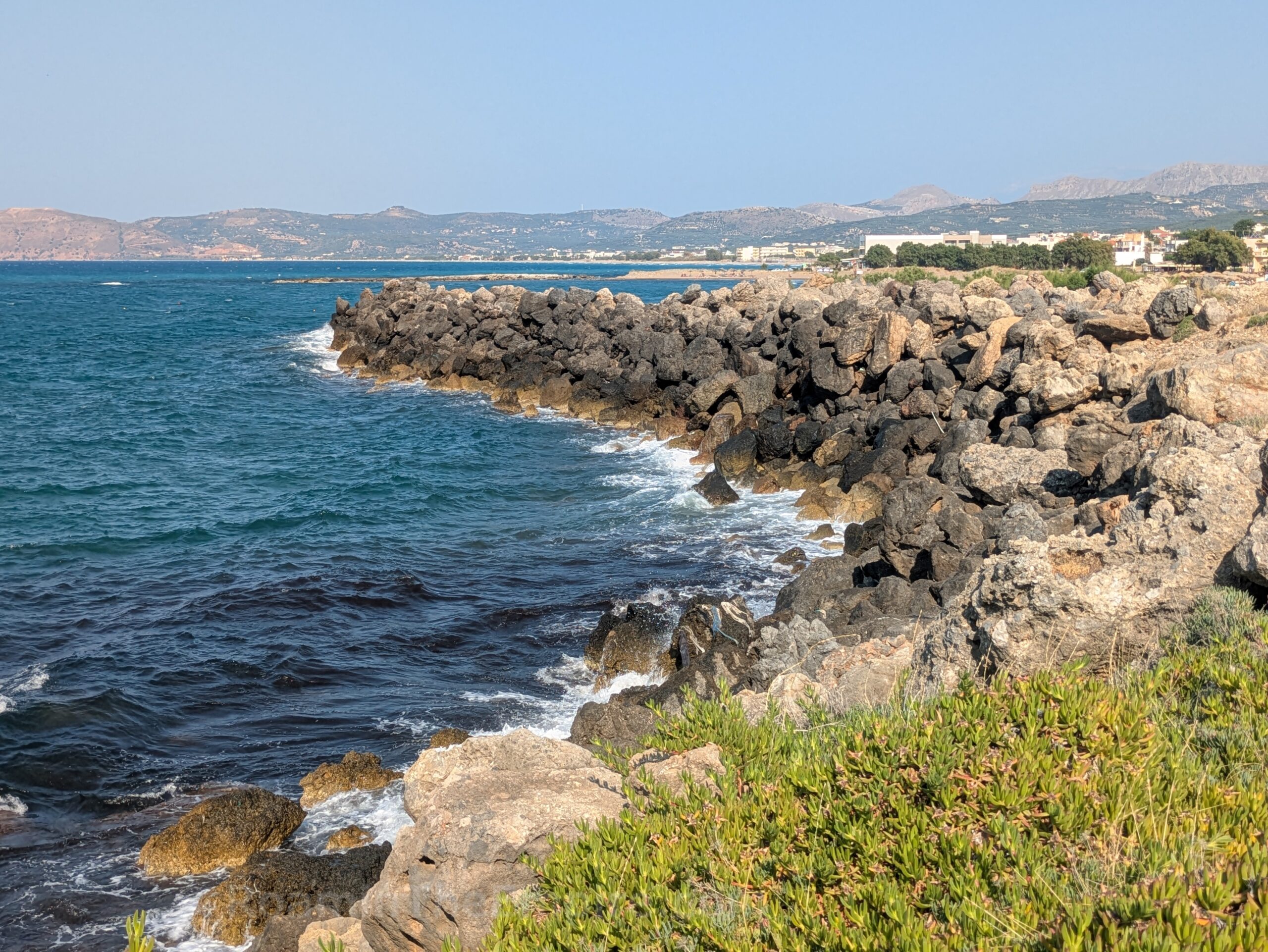
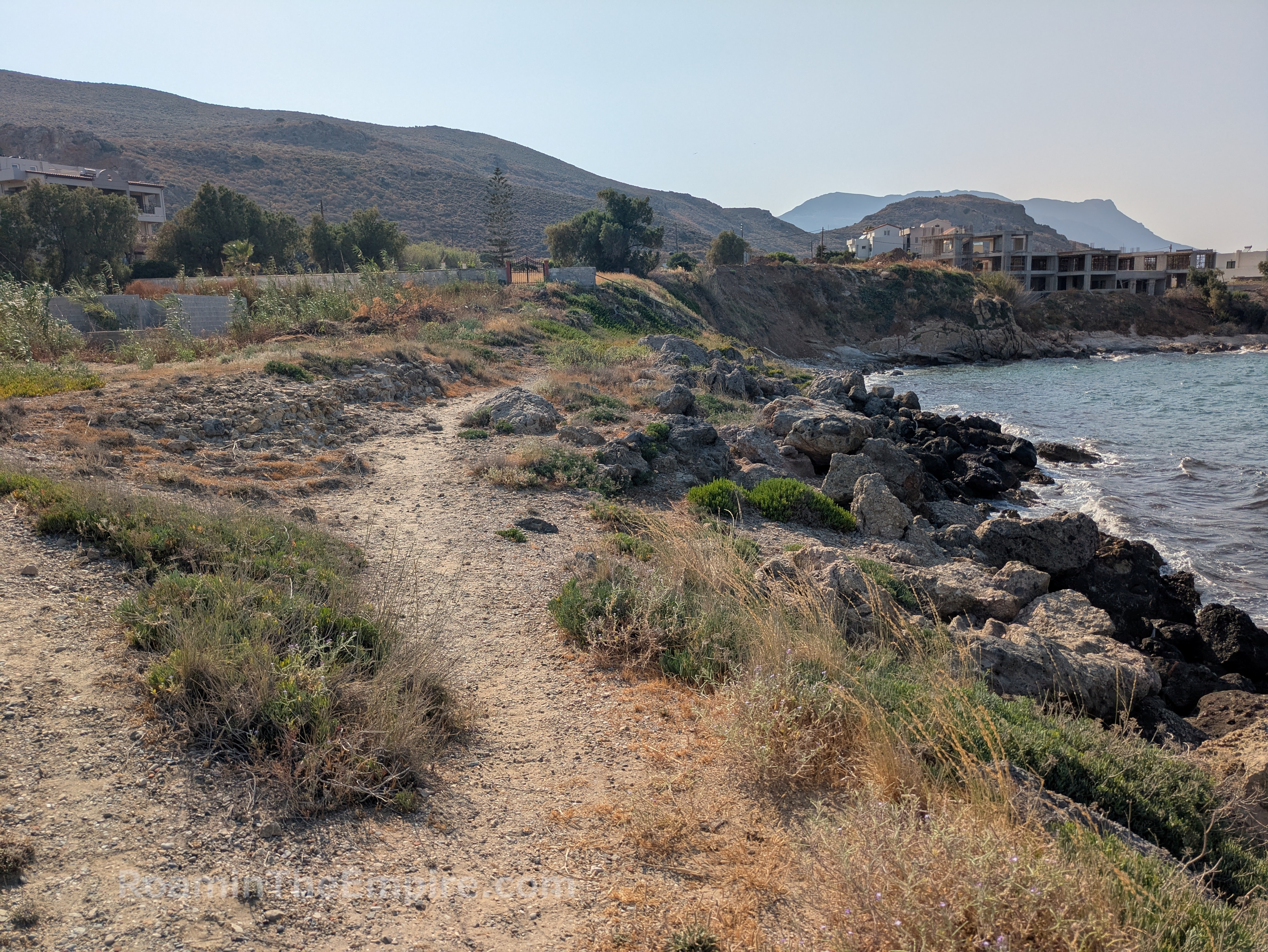
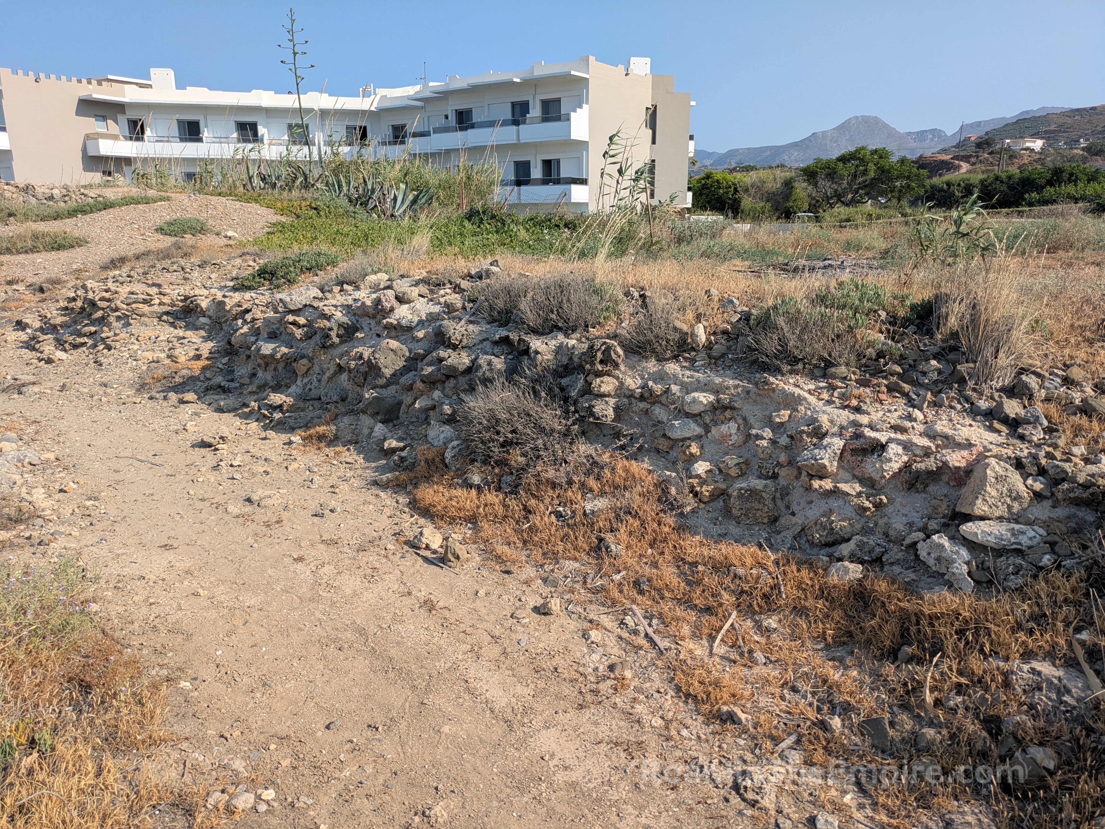
Upon reaching the coast, the so-called Mavros Molos stretches out into the water around the beach of the Elana Beach Hotel. Composed of rock rubble, this mole dates to the harbor of the Roman period. The mole it self juts out about 145 meters, and then stretches back north along the coastline for another 80 meters or so. It towers significantly above the modern sea level, apparently the result of the 365 CE earthquake that lifted the land about 7 meters in this area. Parallel to where the large rock mole cuts up to the north along the coast, some foundations of Roman era constructions lay among the brush. These belong to some sort of harbor building or jetty construction.
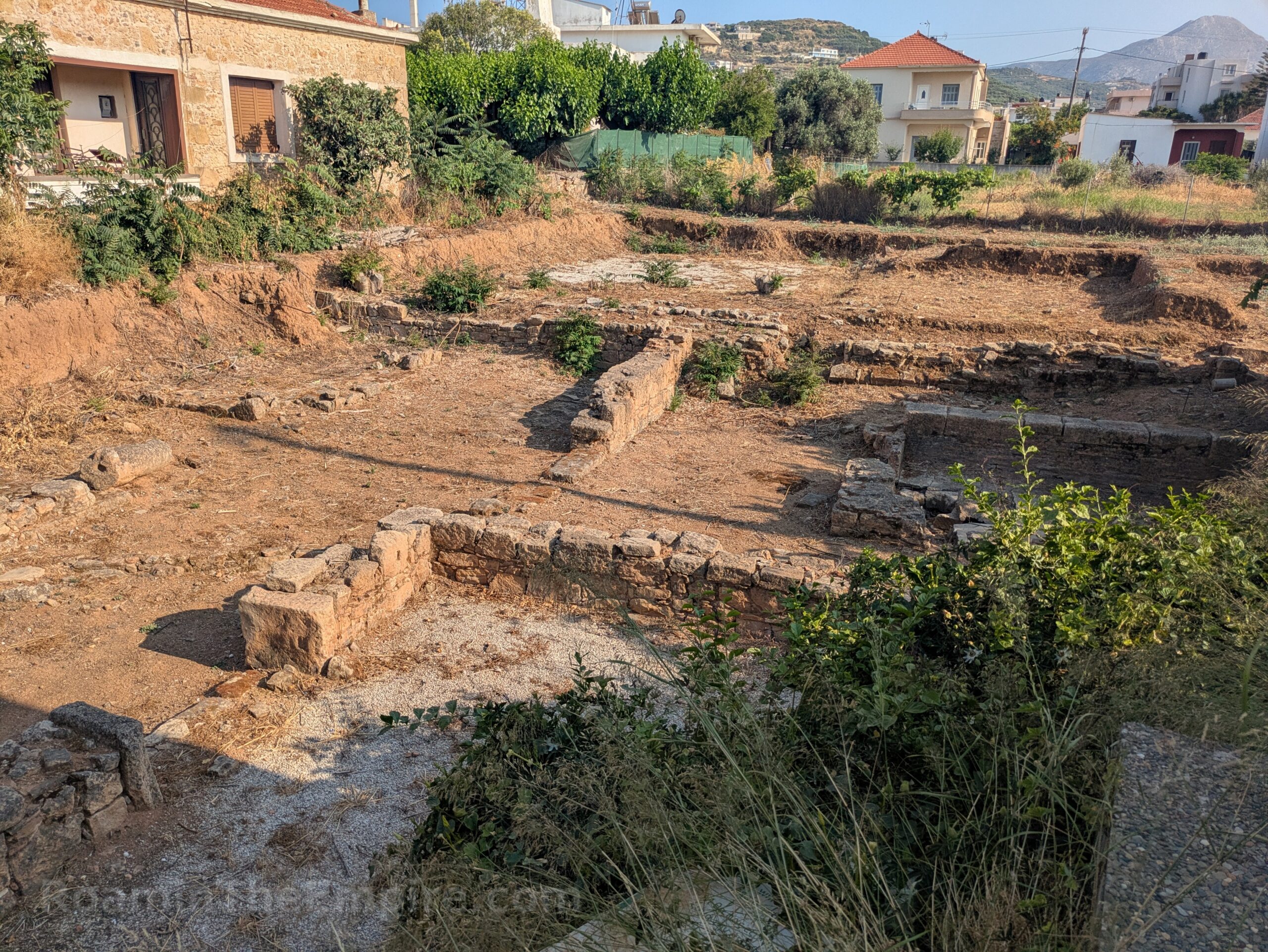
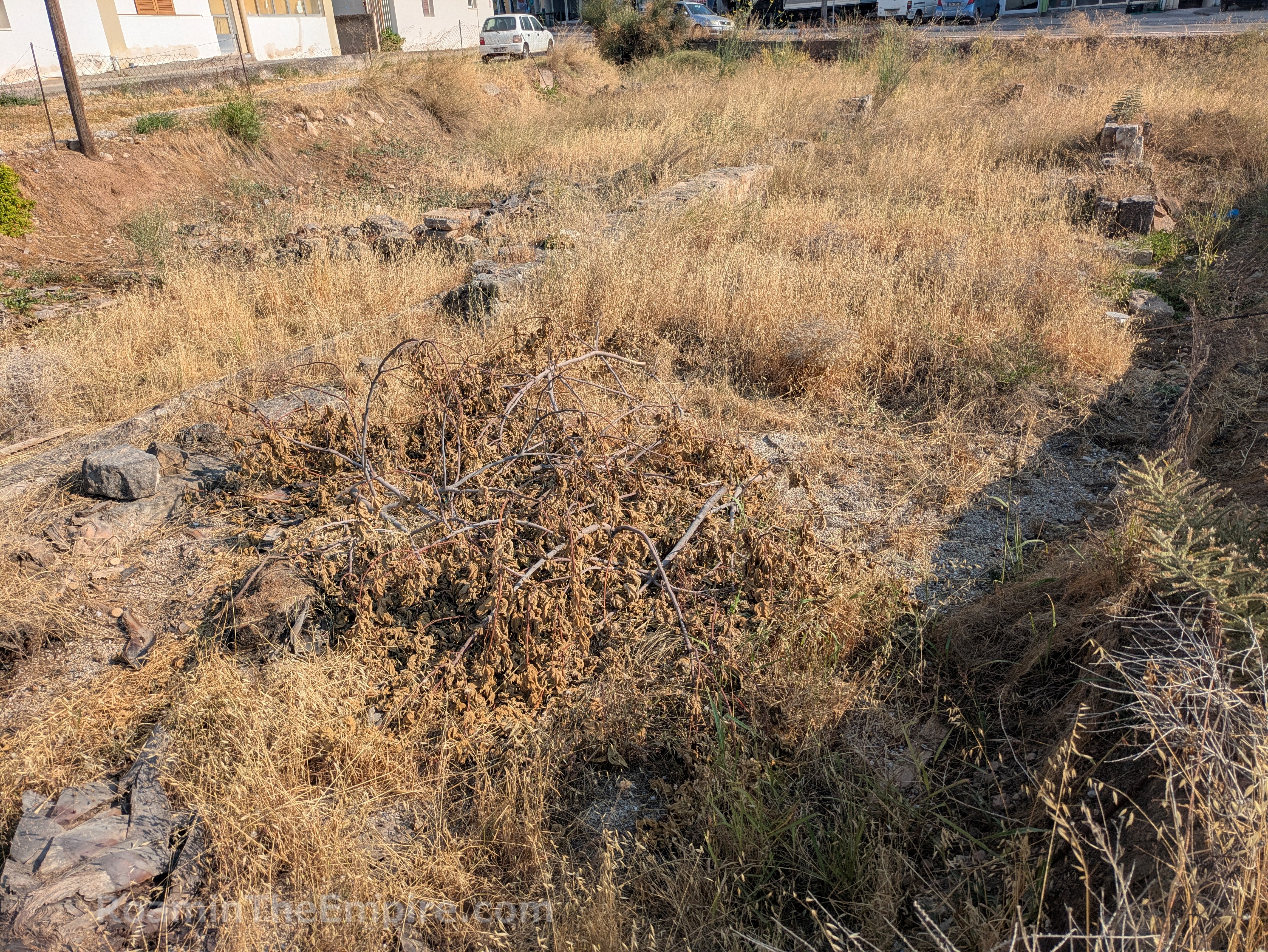
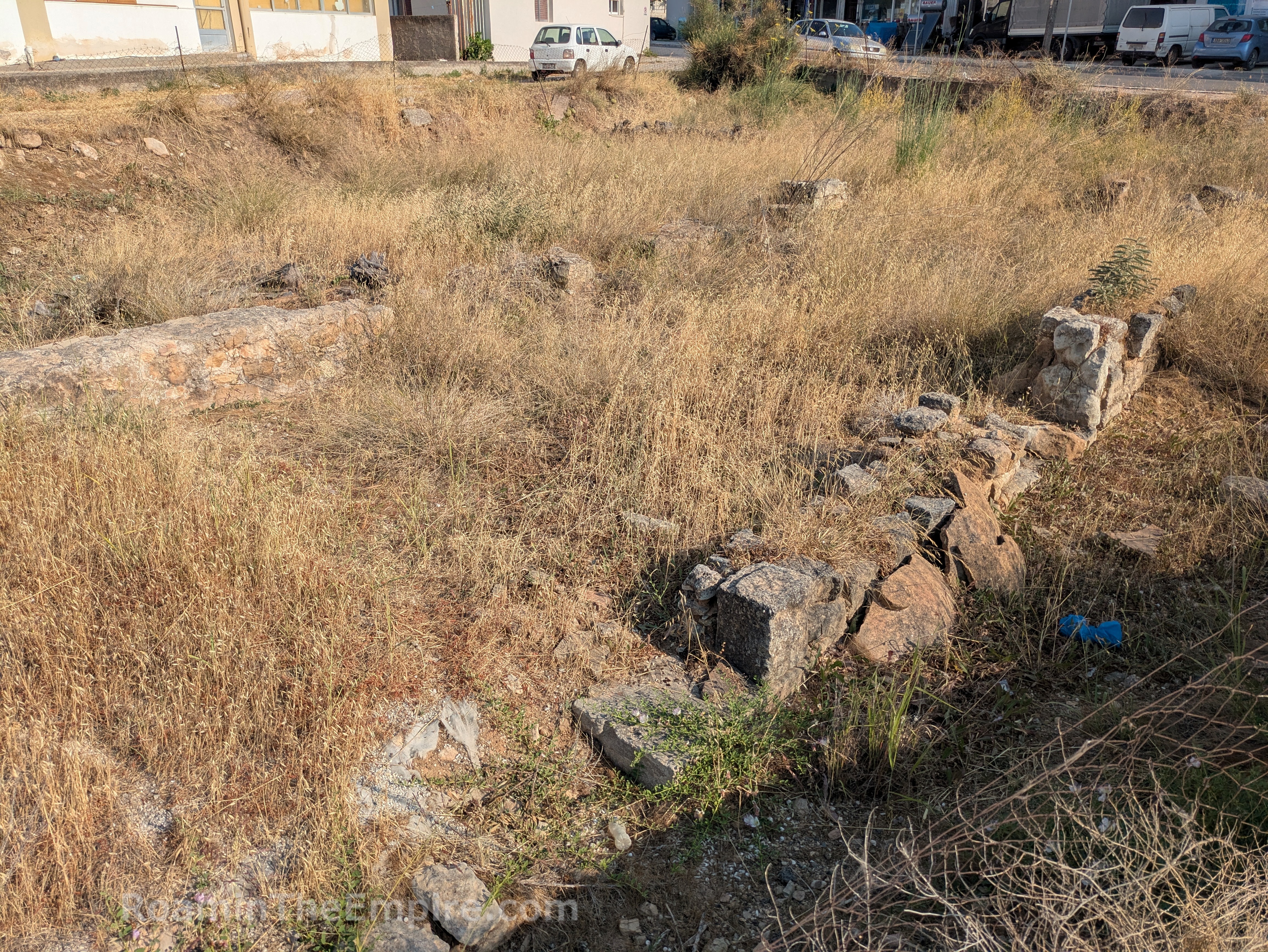
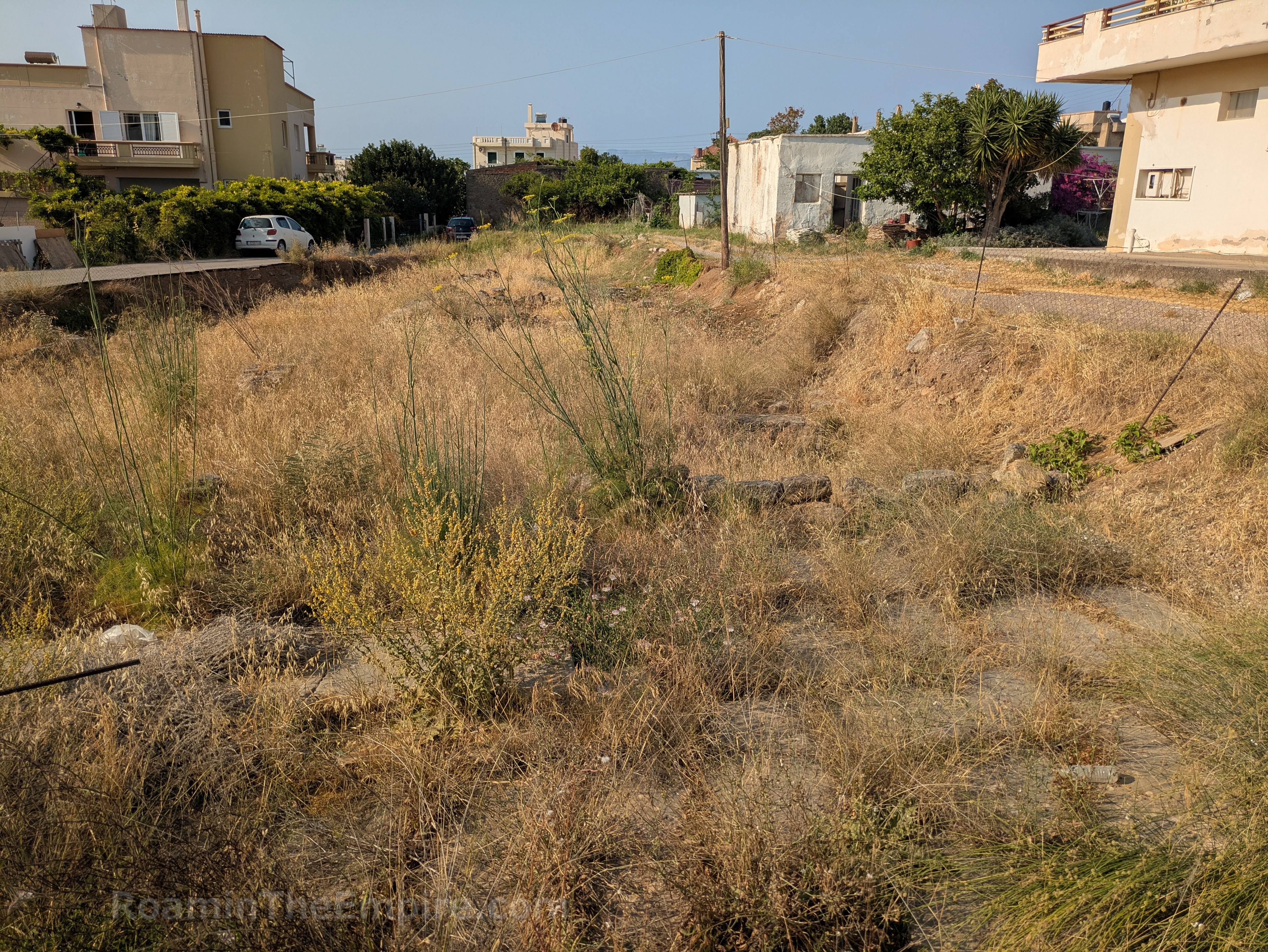
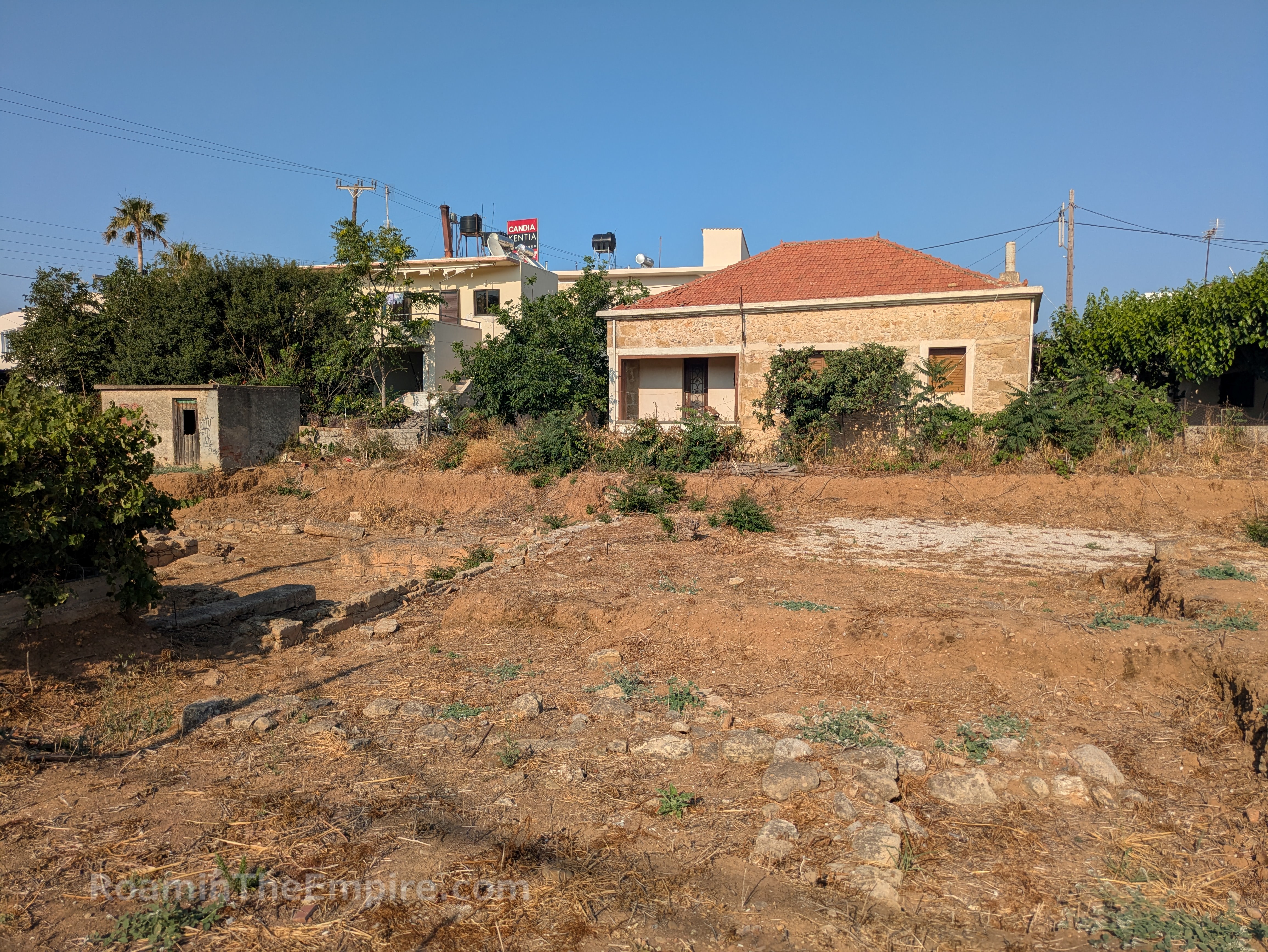
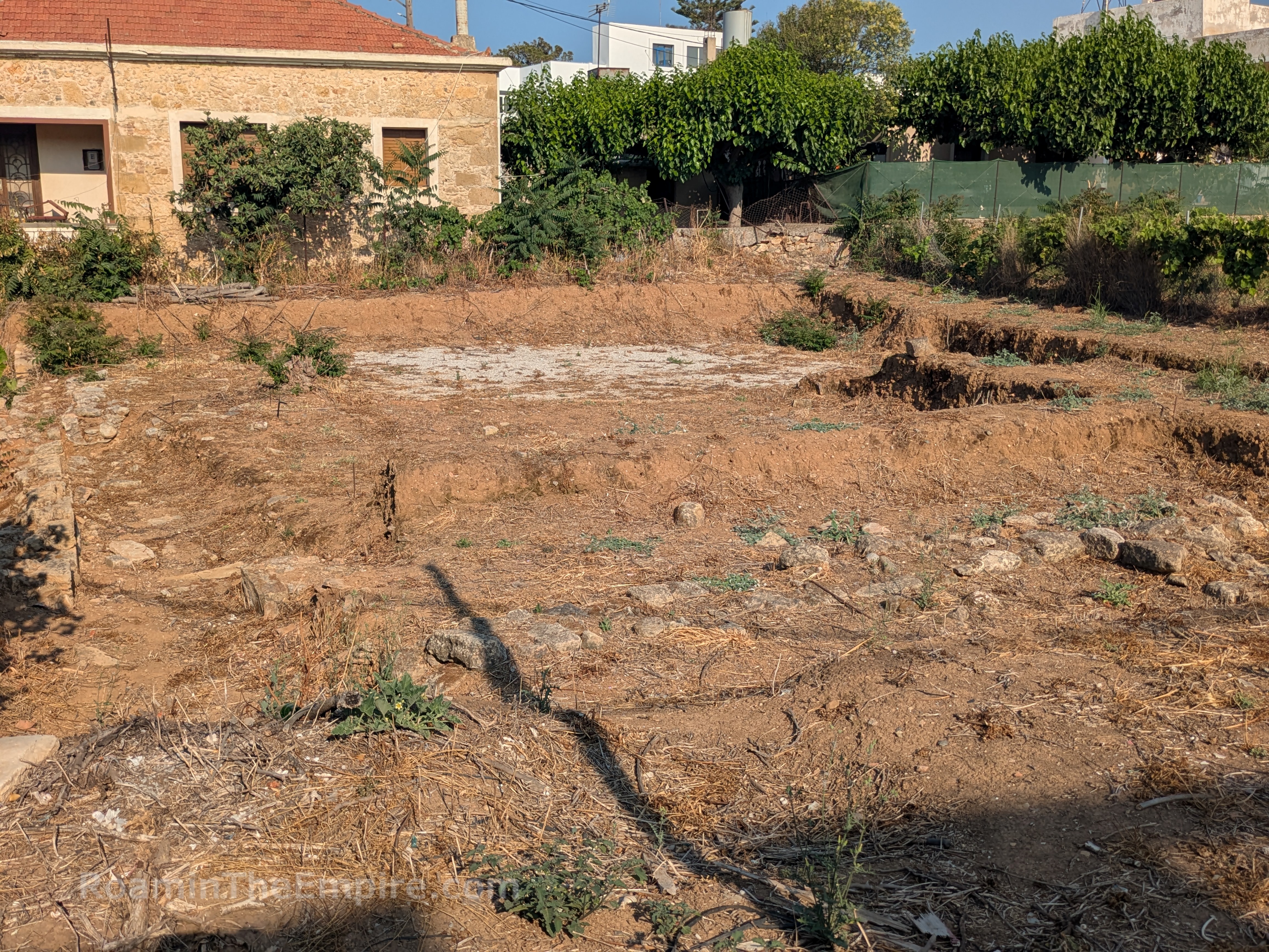
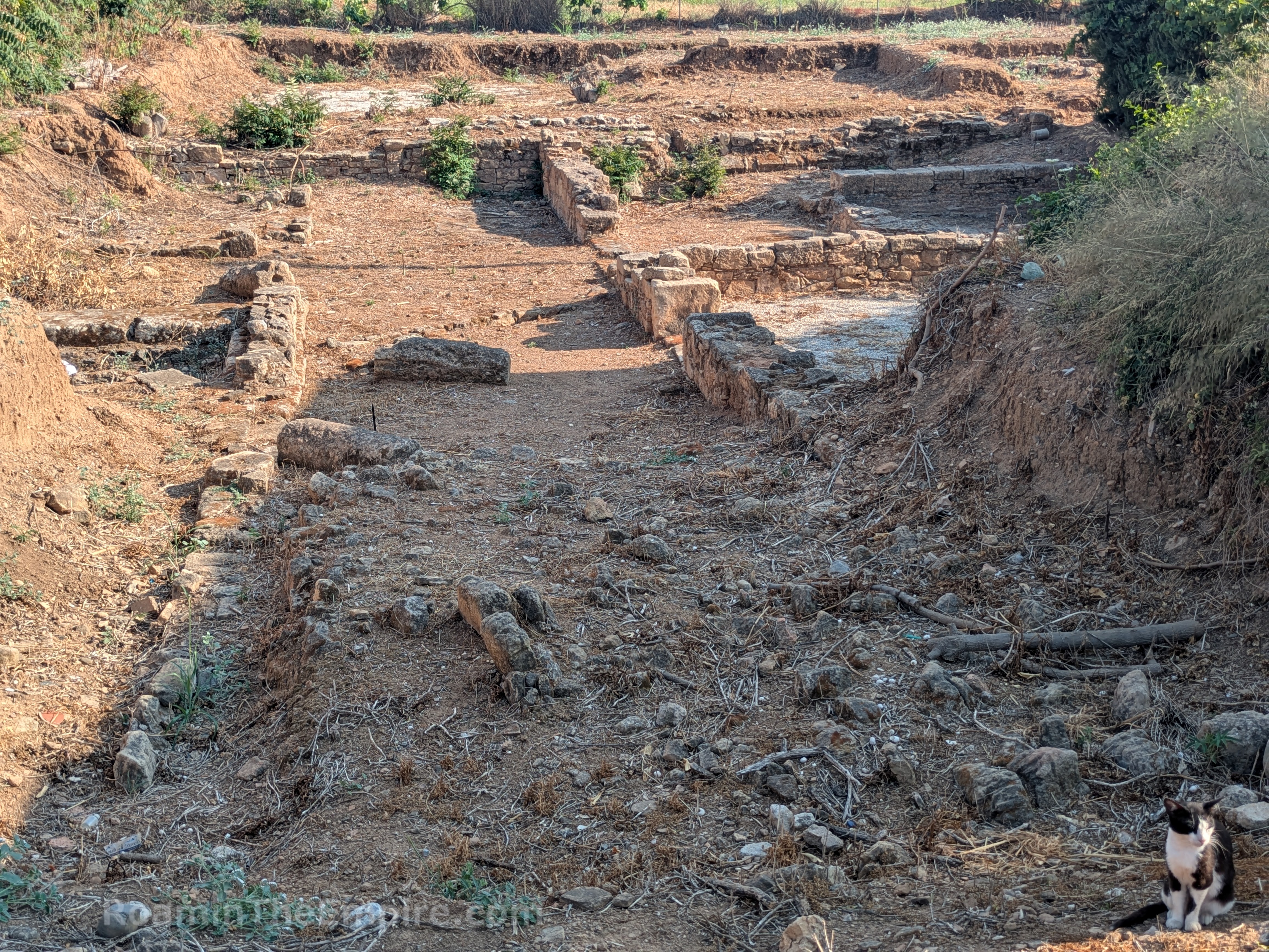
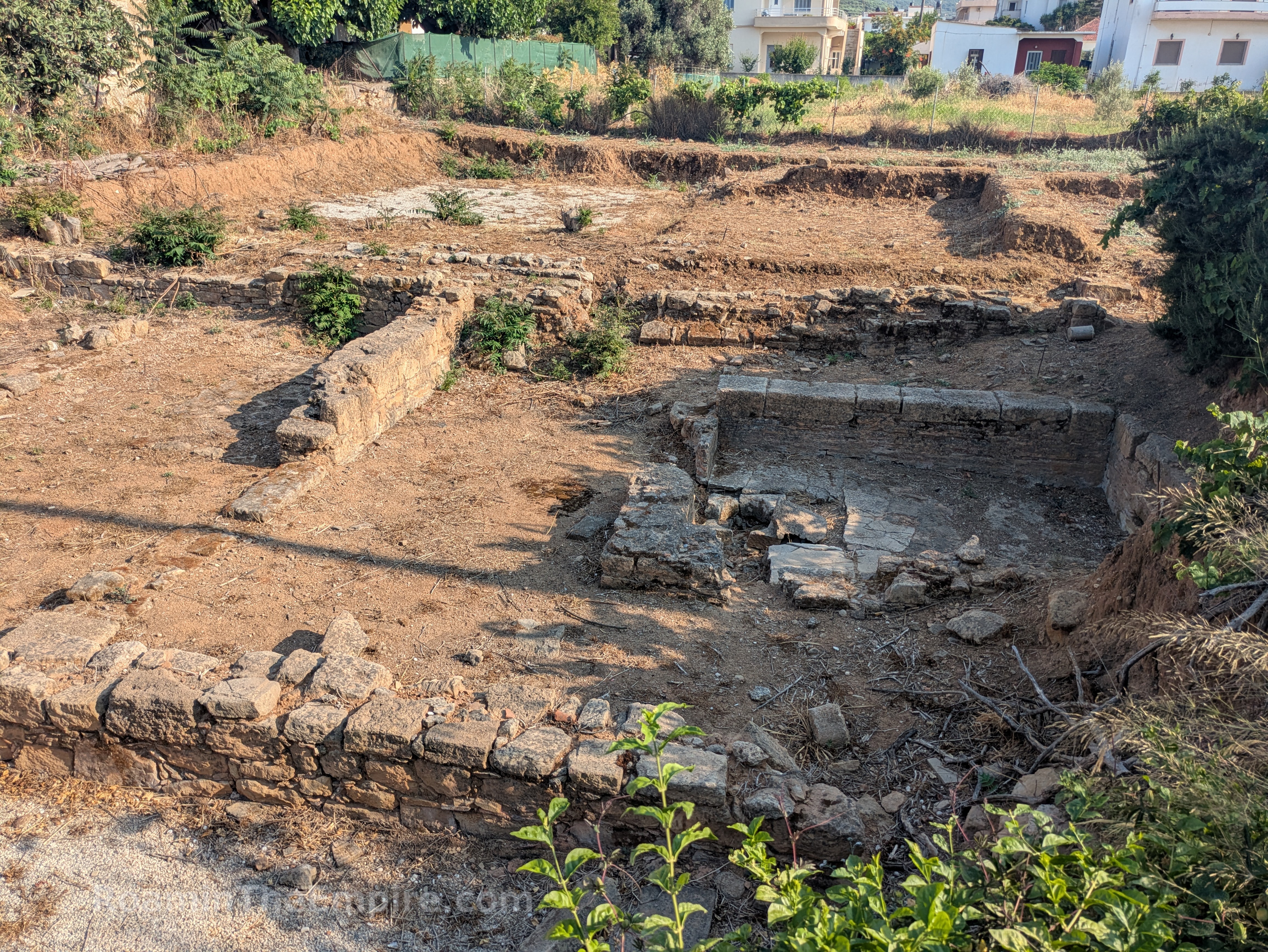
Back out onto the E65/Iroon Politechniou and heading south/east toward the center of town, after about 850 meters there is a vacant lot on the north side of the road. Excavated in this lot are the foundations of a few walls, including a long north-south wall that runs about 35 meters; almost the entire length of the lot. There is a shorter wall to the west and with what appears to be a doorway. There are a couple fragments of cross walls, and in the south part of the lot some large paving stones, which are part of a decumanus. The whole of the plot seems to be a residential area. A pair of skeletons among what appeared to be the rubble of a collapsed wall probably date to the 365 CE earthquake, when the building was destroyed, with the initial construction coming perhaps as early as the 1st century CE.
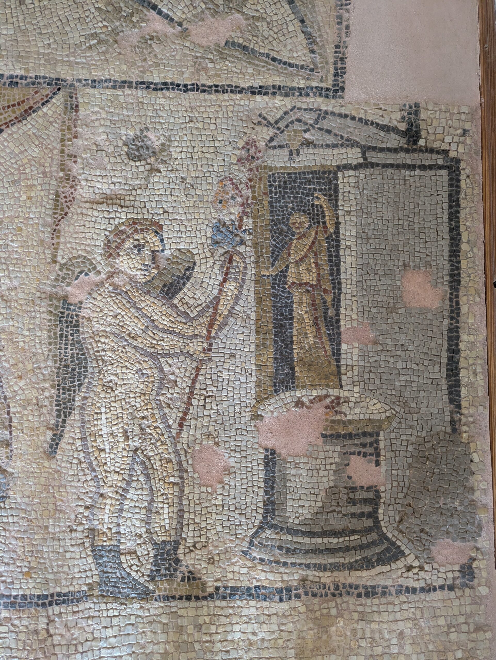
Continuing south/east down Iroon Politechniou, at the intersection with Vardantoni (about 200 meters) is an excavation on the lot on the southeast corner, surrounding the pharmacy there. Excavated on this plot are 2 houses dating to the Roman period. The northern, and better conserved, of these two was originally constructed in the first half of the 2nd century CE and likely destroyed in the 365 CE earthquake. The most distinctive element of this house is the atrium with a paved impluvium, located behind the southeast corner of the pharmacy. The second house in the south is at a slightly higher level and was likely built in the early 3rd century CE; and also destroyed in the earthquake. It is not as well defined now. The area with gravel overlay was a triclinium in which a mosaic depicting Achilles at Skyros (maybe still in situ?) was found. Overall the area was well kept when I visited, though it probably has the potential to get overgrown. It is sort of open access, but is always visible from the street/sidewalk.
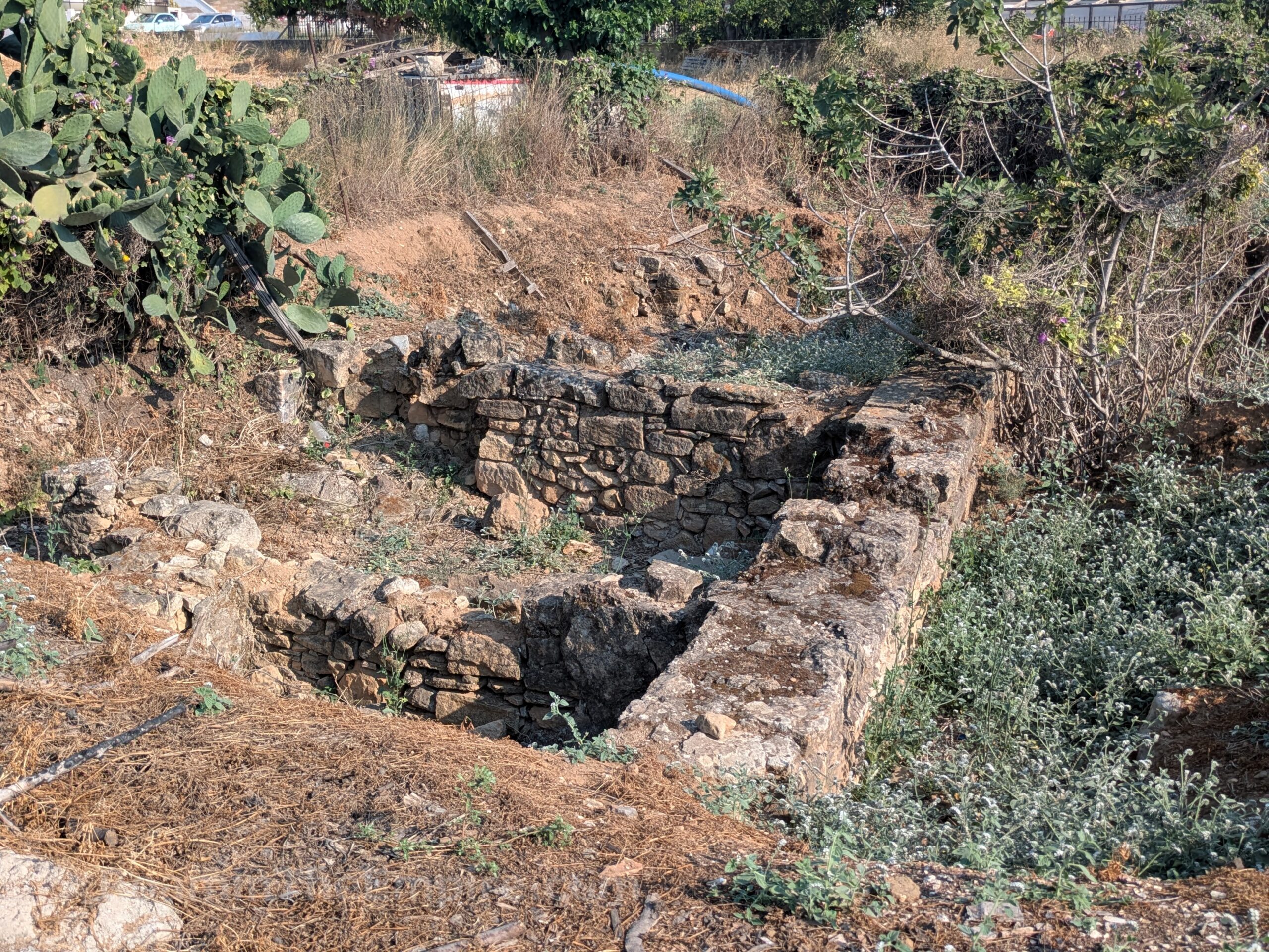
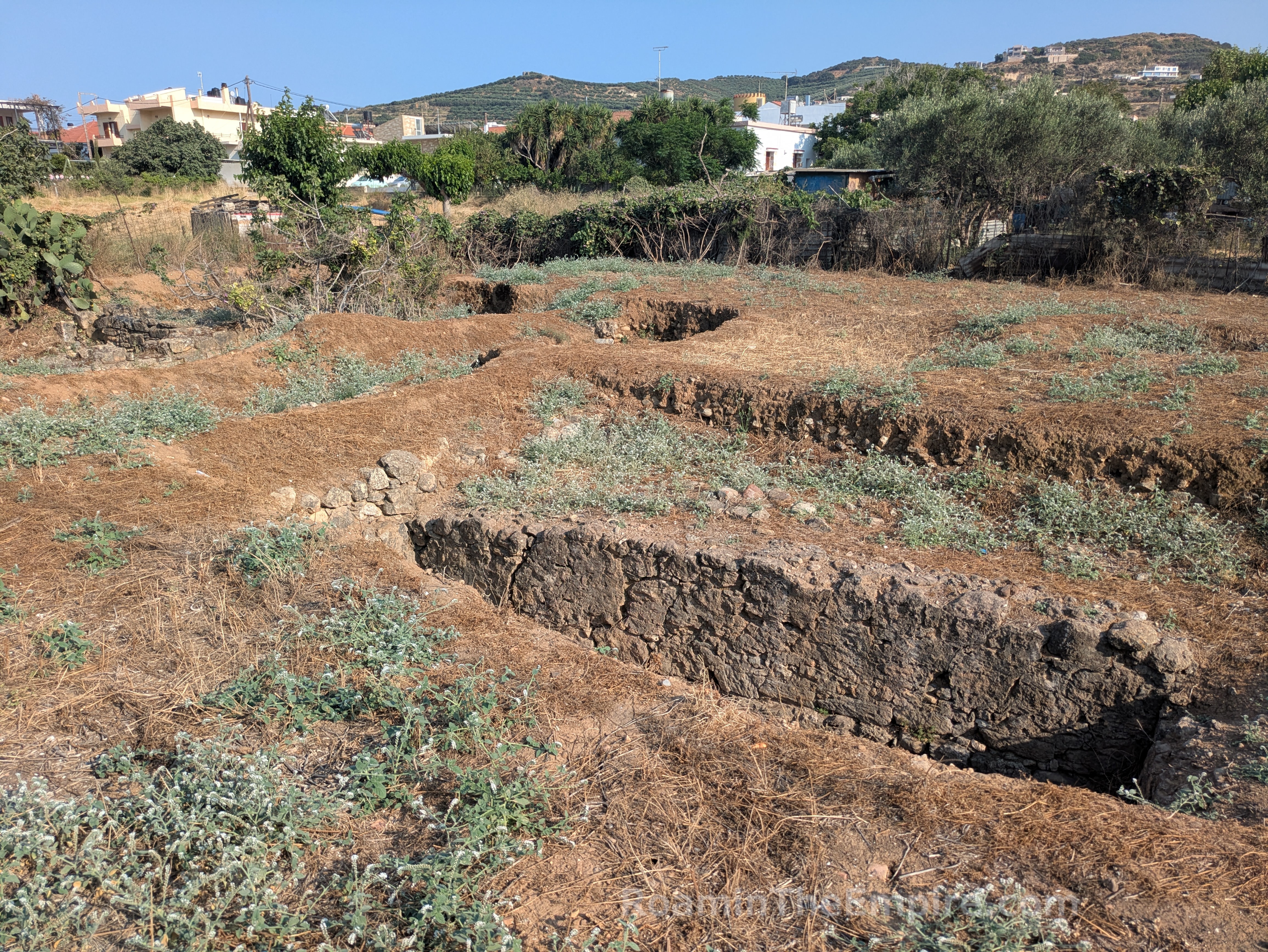
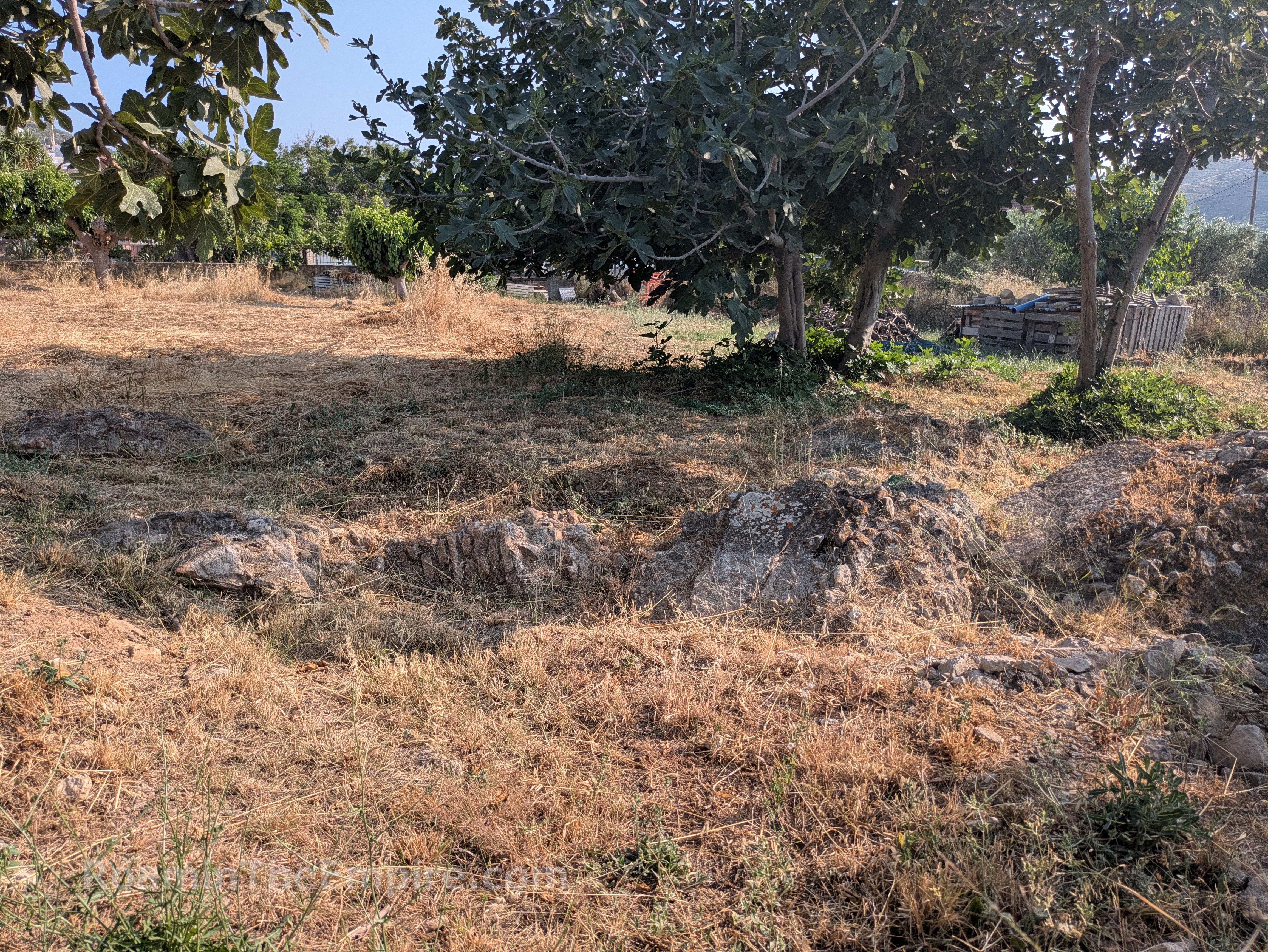
South on Vardantoni to the next cross street, Theocharaki, is another excavation on the southeast corner of this intersection. There’s not much to see here, there’s what appears to be a chamber toward the middle of the lot, and then some excavated walls on the east side of the lot. This all belonged to a private dwelling, with the chamber being part of an underground room, probably a cistern. A section of a private bathing complex was found as part of the excavations of the house. Like many other buildings in Kisamos, it seems to have been destroyed in the 365 CE earthquake. In the adjacent lot to the east, there appears to be some unexcavated wall fragments exposed, perhaps destroyed architecture from the earthquake now partially exposed at the surface. Both lots are private property and are fenced off from the public areas.
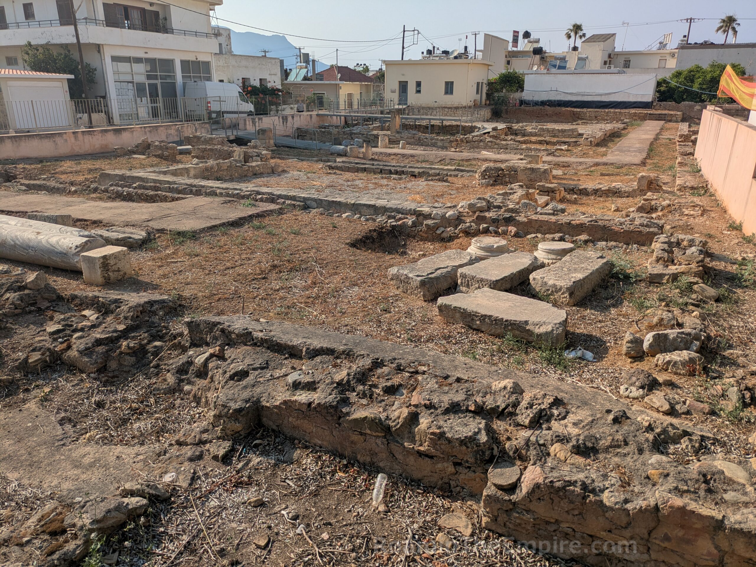
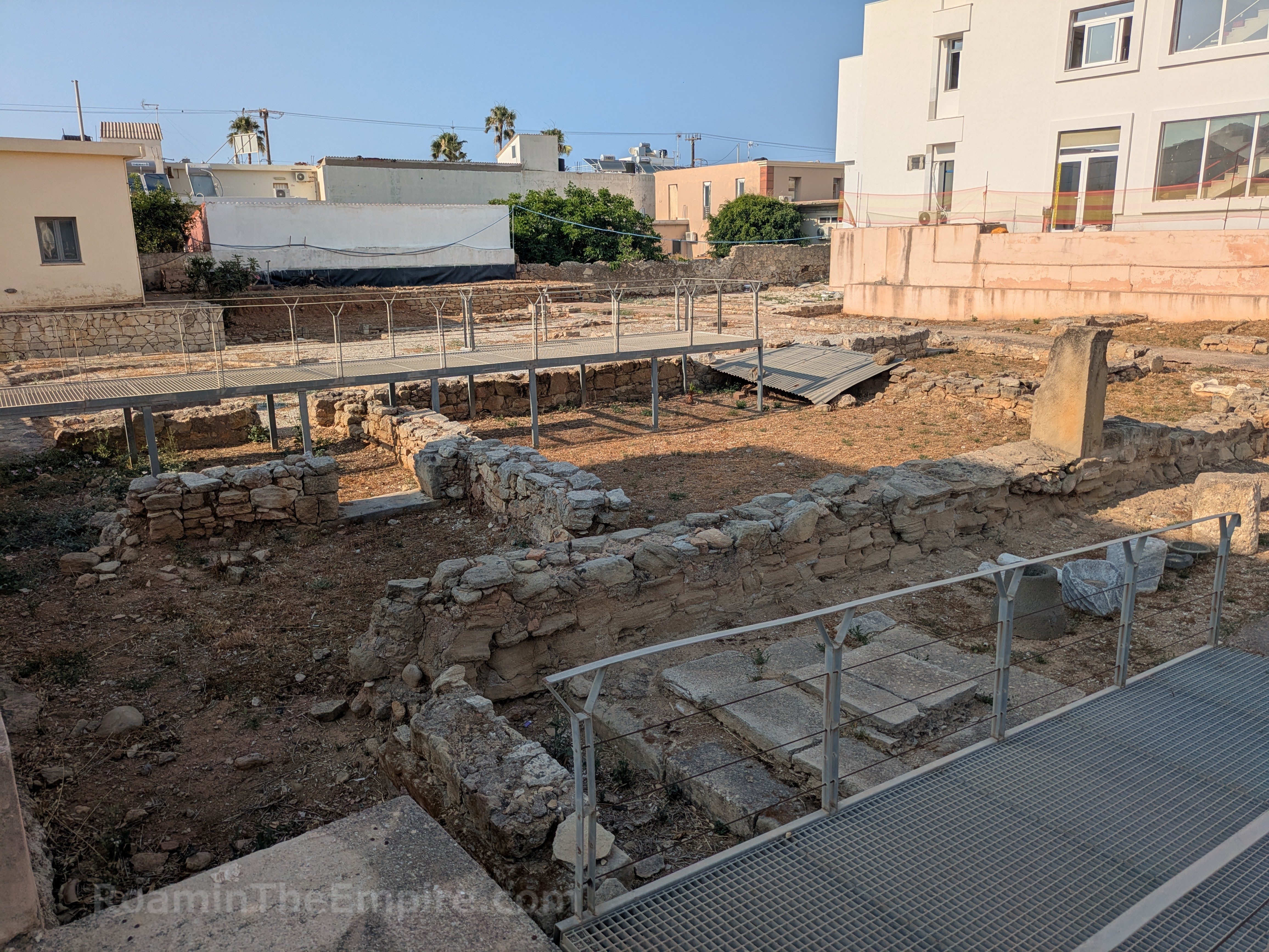
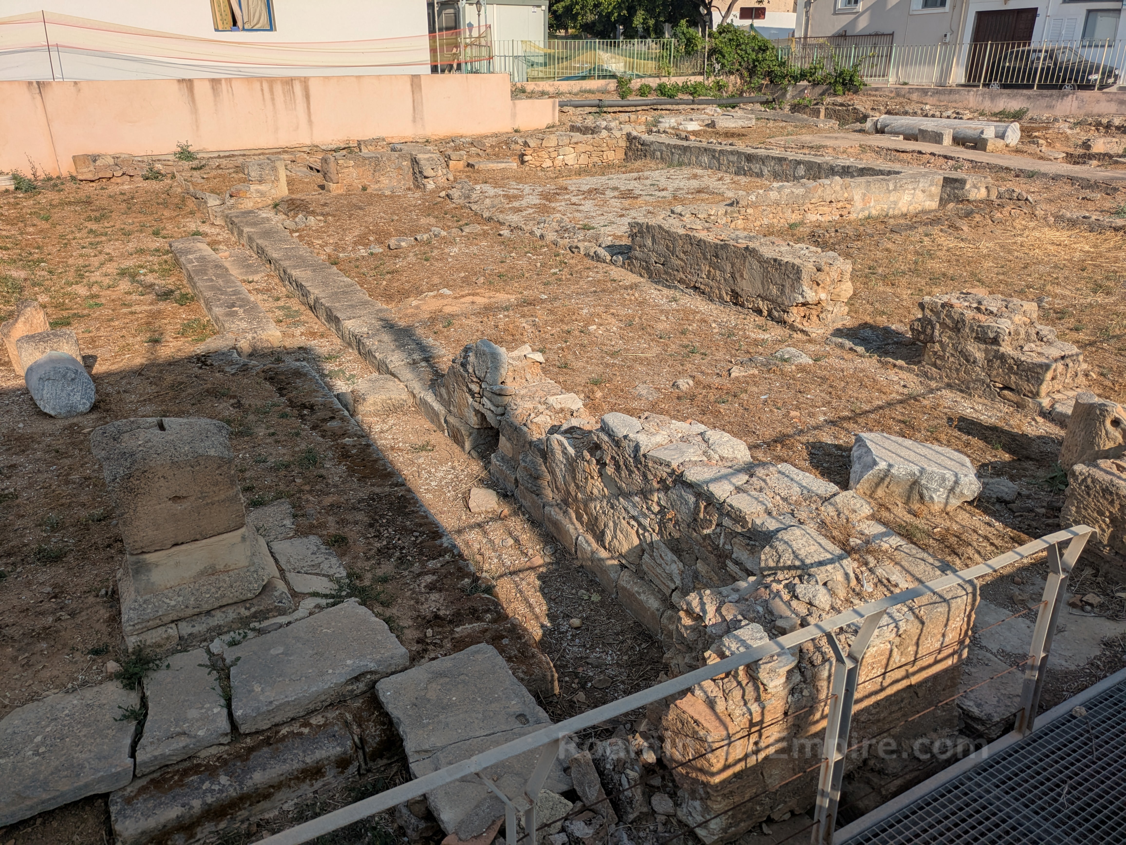
Another block to the east on Theocharaki, at the northeast corner of the intersection with Pnevmatikaki, is one of the handful of promoted archaeological areas in town (signs directing to the site), the so-called House of Pheidias. While the site has a gated access point and walkways and paths constructed to allow visitation, it does not seem as thought there has been any visitor access for quite some time. As such, it is only visible from outside the fence in the public areas, which does give view to most of the excavations. The lavish house, of which about 1800 sqm is currently exposed and another 700 sqm is believed to be below the adjacent medical center, was constructed in two distinct phases starting in the late 2nd or early 3rd century CE.
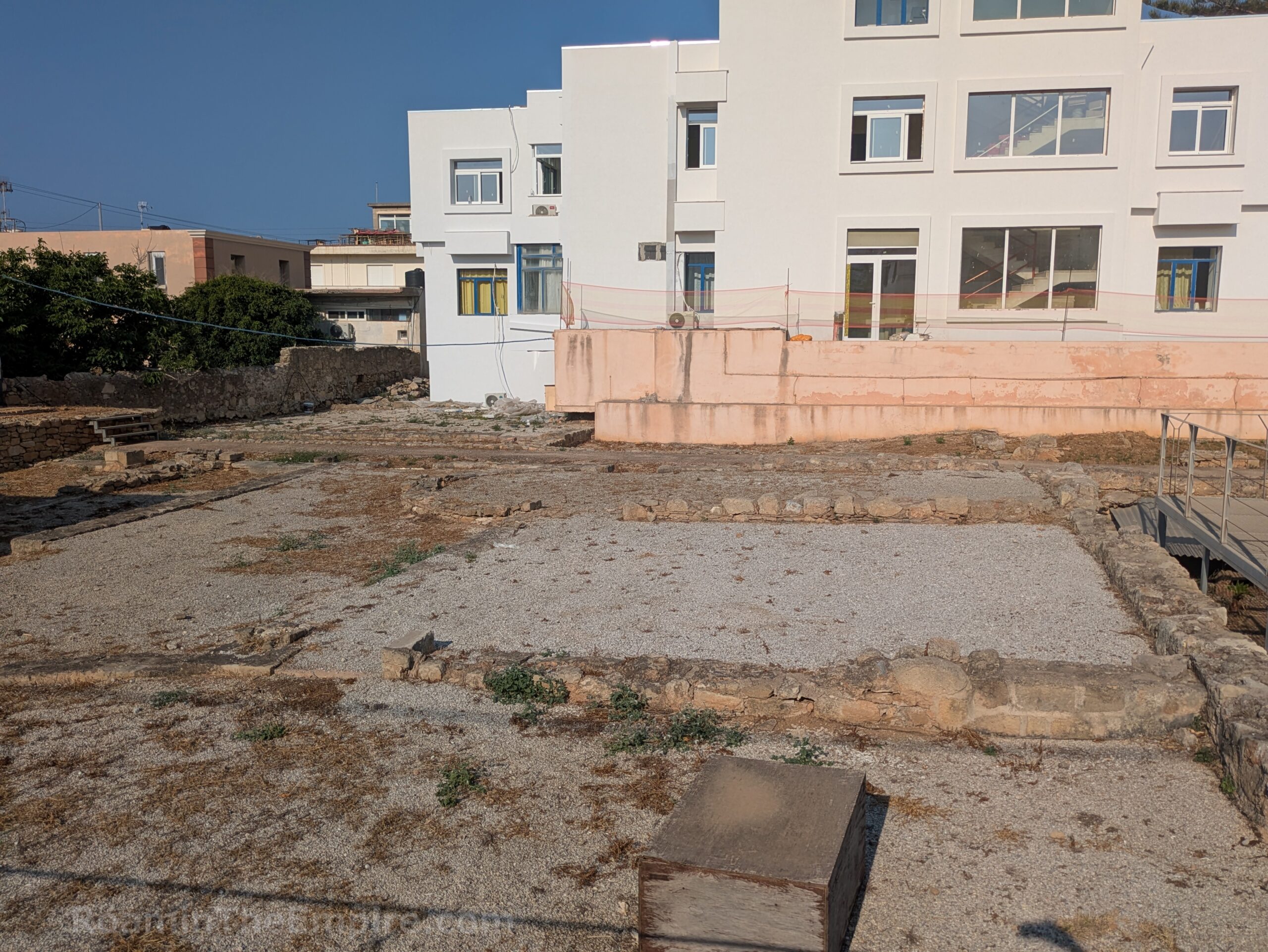
The northern 2/3rds or so of the excavations closest to Pnevmatikaki are part of the earlier phase of building. The most distinctive feature of this part of the dwelling are two apsidal halls that flank a rectangular room that has been identified as a triclinium. Atria flank the north and south of these rooms, and a series of small rooms on the south and west of the western of the two apsidal rooms seem to have been wine storage rooms. A large rectangular room to the south of the apsidal rooms and atria is thought to have been a viridarium. An altar, possibly a lararium, stands near the street side of this space (just to the south of the entrance walkway built into the site). The site to the south of the viridarium belongs to the later phase of construction, as do the excavations close to the perimeter of the health center building. Noteworthy among these rooms is another square triclinium just to the north of the health center. There is a sign with information and a diagram in Greek and English.
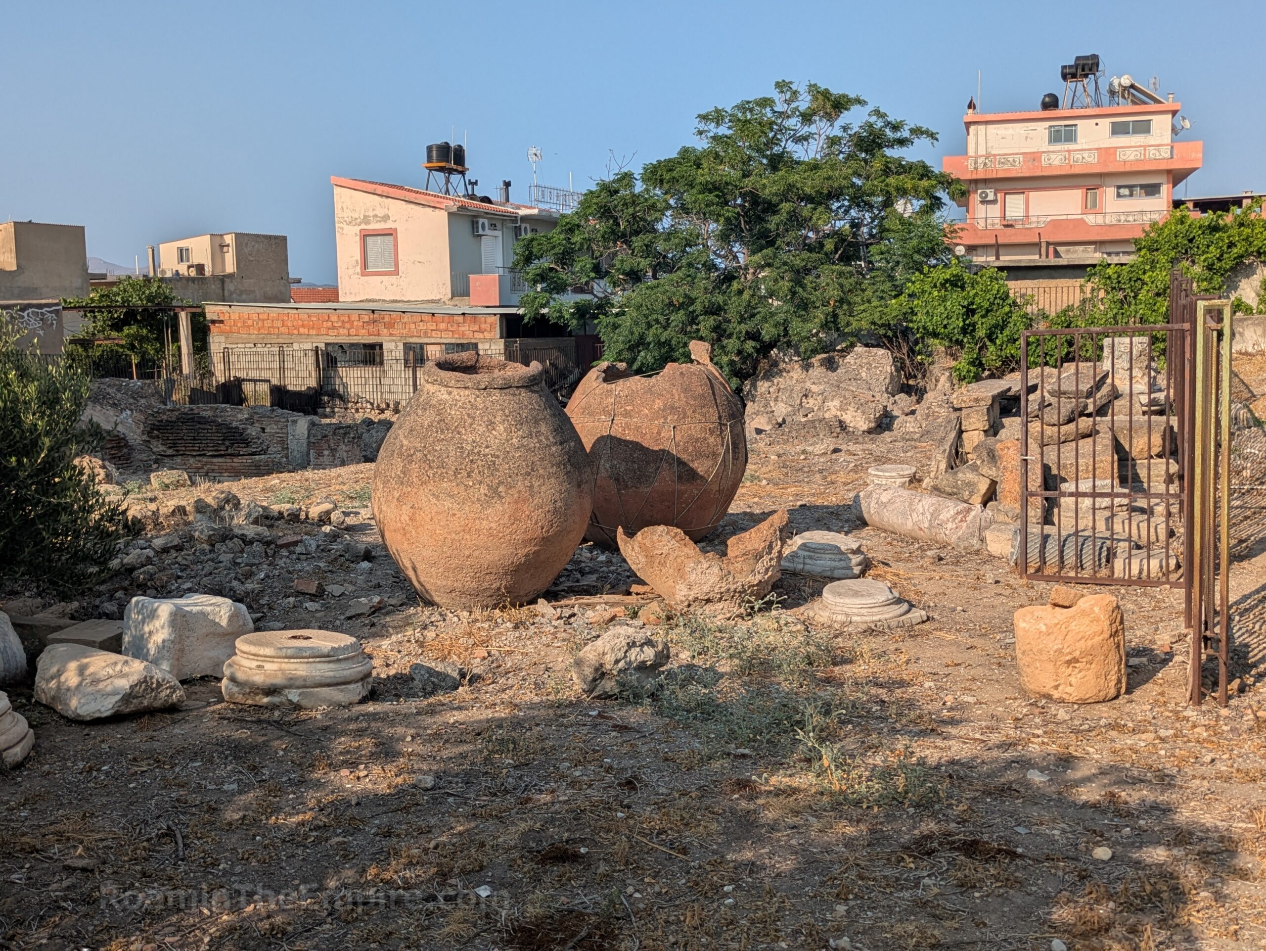
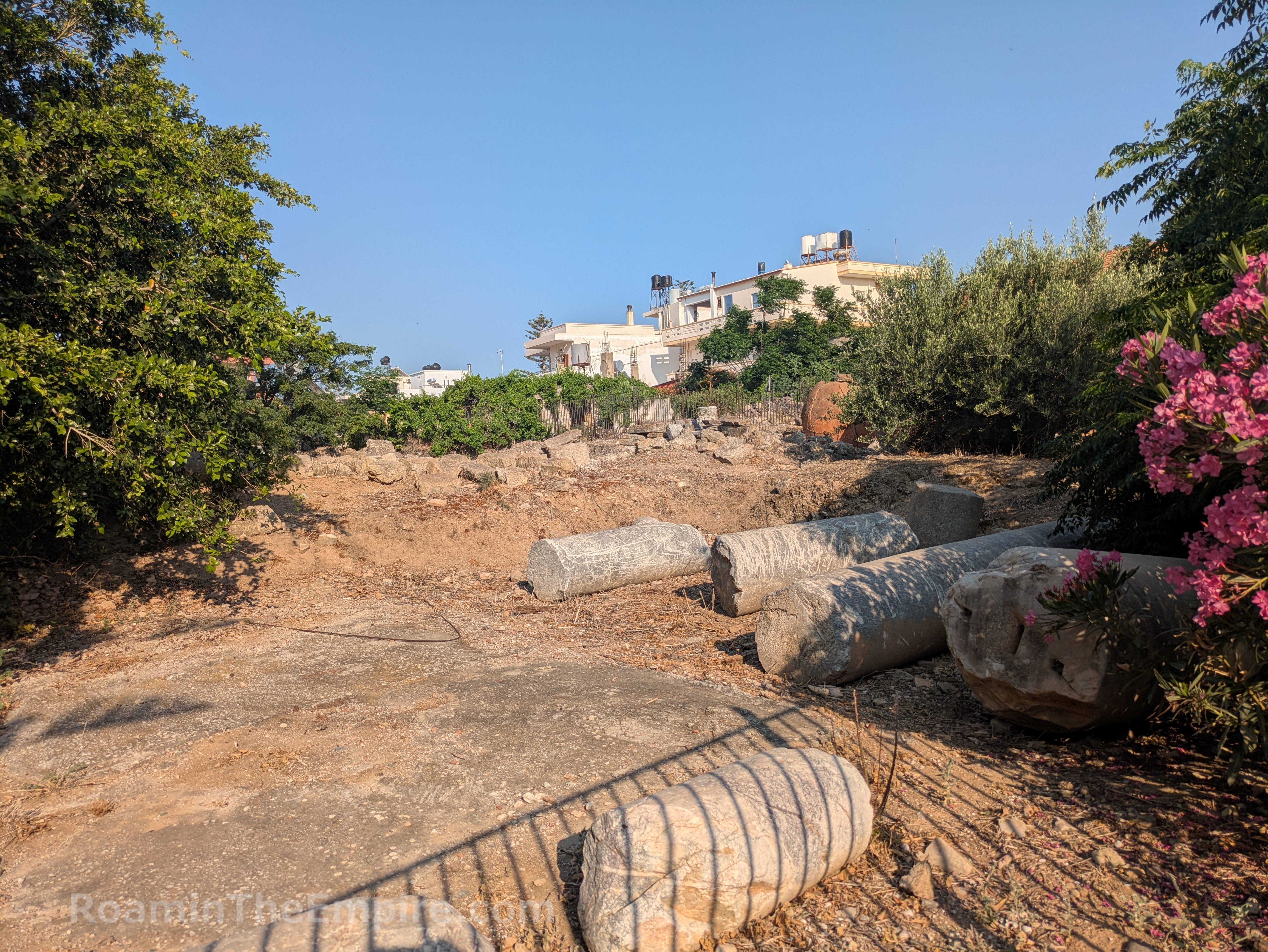
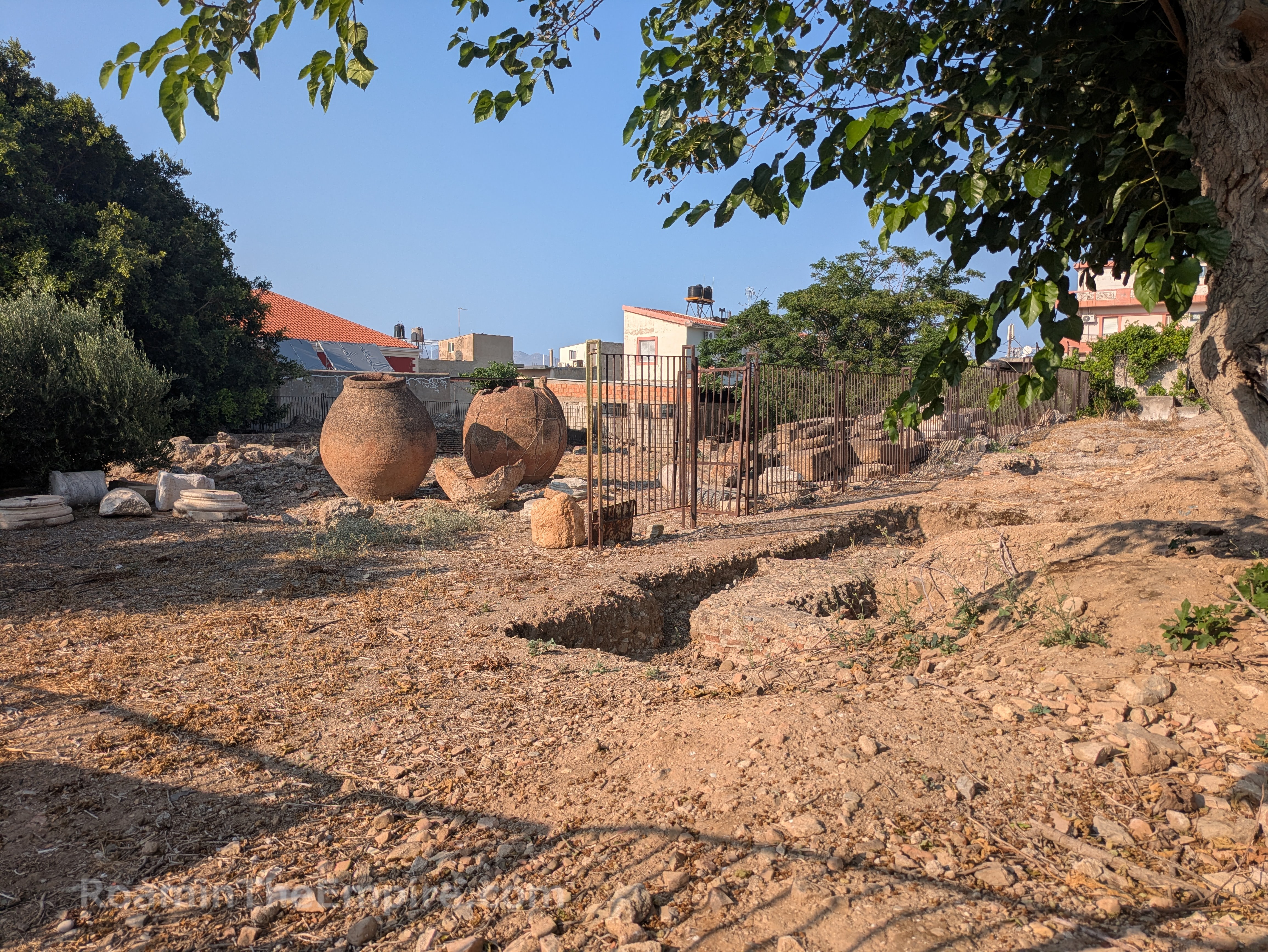
West on Theocharaki three blocks is the intersection with Elafonisiou. About 50 meters to the south on Elafonisiou, on the west side of the street are the so-called East Roman Baths, one of three complexes found in the city, and the only one that remains visible. Unfortunately, despite signs directing visitors to these, they are also gated and there isn’t a whole lot that can be seen other than some fragments of large columns, a few large pithoi, and some hints of brickwork walls. Unfortunately, most of the visible wall remnants seem to be on the far side of the lot relative to Elafonisiou. The baths seem to have been in use until the earthquake of 365 CE. There is some information in Greek and English posted at this site as well.
Continued In Kisamos Part II
Sources:
Frey, Marie. Kastelli Kissamou – 1975, Archaeology in Greece Online, report 20173, created deprecated, viewed deprecated, URL https://chronique.efa.gr/?r=report&id=20173
Kouremenos, Anna. “A Tale of Two Cretan Cities: The Building of Roman Kissamos and the Persistence of Polyrrhenia in the Wake of Shifting Identities.” In S. Scheffer (ed.), Attitudes Toward the Past in Antiquity: Creating identities? 2013, Acta Universitatis Stockholmiensis, pp. 139-149.
Loy, Michael. Property of Chr. And A. Papadaki, Kissamos – 2008, Archaeology in Greece Online, report 14602, created deprecated, viewed deprecated, URL https://chronique.efa.gr/?r=report&id=14602
Loy, Michaeil. Property of N. and A. Stimadoraki , Kissamos – 2007, Archaeology in Greece Online, report 13062, created deprecated, viewed deprecated, URL https://chronique.efa.gr/?kroute=report&id=13062.
Moles Anna. The Past 15 Years of Archaeological Work on Roman and Byzantine Crete. Archaeological Reports, Vol 69 (November 2023), pp. 85-106.
Samara, Samia. Kissamos – 1991, Archaeology in Greece Online, report 14500, created deprecated, viewed deprecated, URL https://chronique.efa.gr/?r=report&id=14500
Stillwell, Richard, William L. MacDonald, and Marian Holland. McAllister. The Princeton Encyclopedia of Classical Sites. Princeton, NJ: Princeton U Press, 1976.