



Continued From Vindonissa Part I
A few blocks to the southeast of the amphitheater, on the southeast corner of the intersection Oelackerstrasse and Bergstrasse (about 450 meters walking) is an innocuous looking low stone structure with a window. Looking through the window is a settling basin for the aqueduct that supplied water to Vindonissa, one of 26 such structures along the 2.4 kilometer aqueduct that originated in modern Hausen bei Brugg to the south. You kind of have to get down on the ground to see through the window, which isn’t very clean and it’s not very well lit inside, but it’s certainly a stone tank with a visible channel running parallel to the window. There’s a small informational sign in German placed adjacent to the tank.

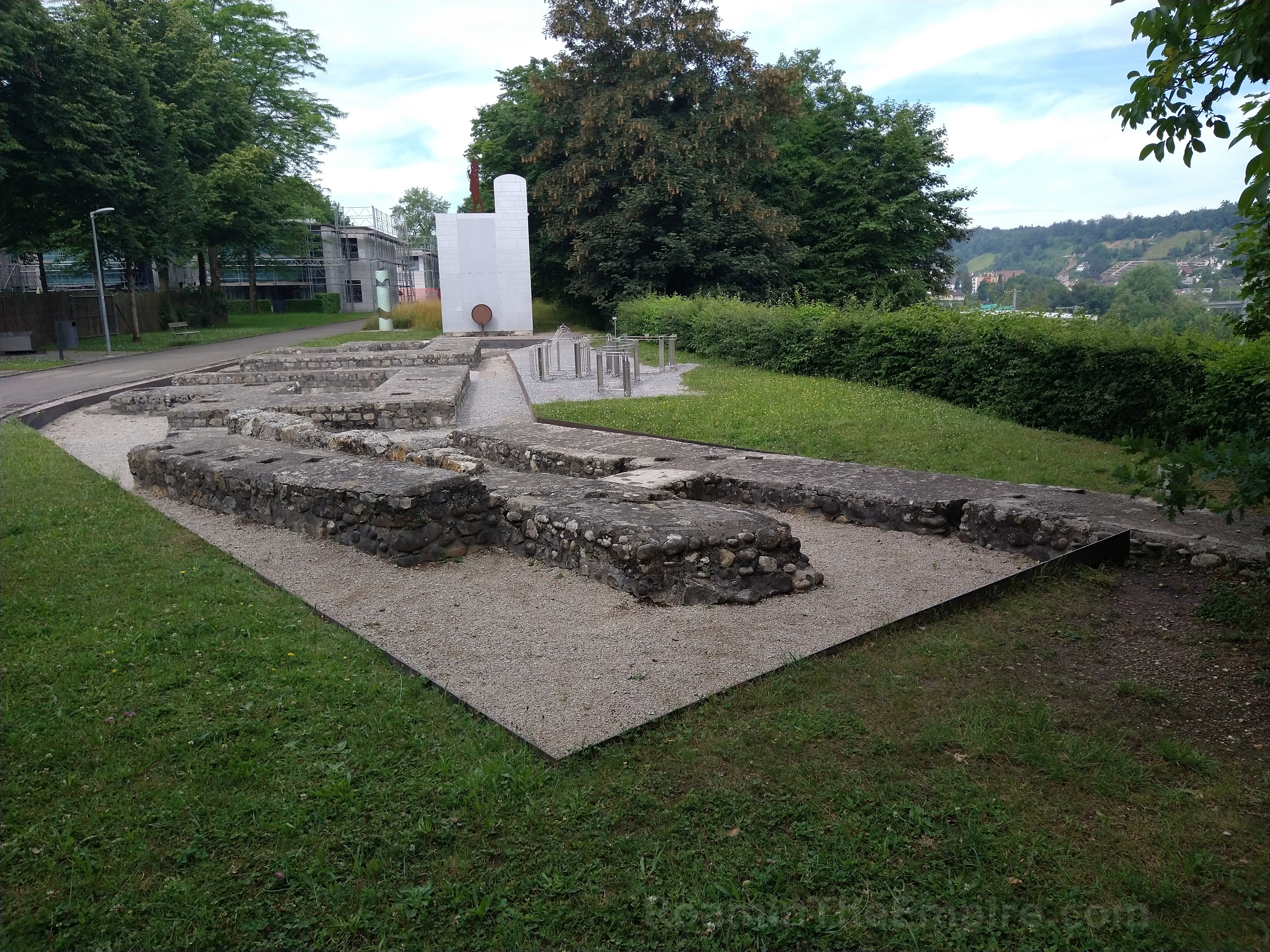
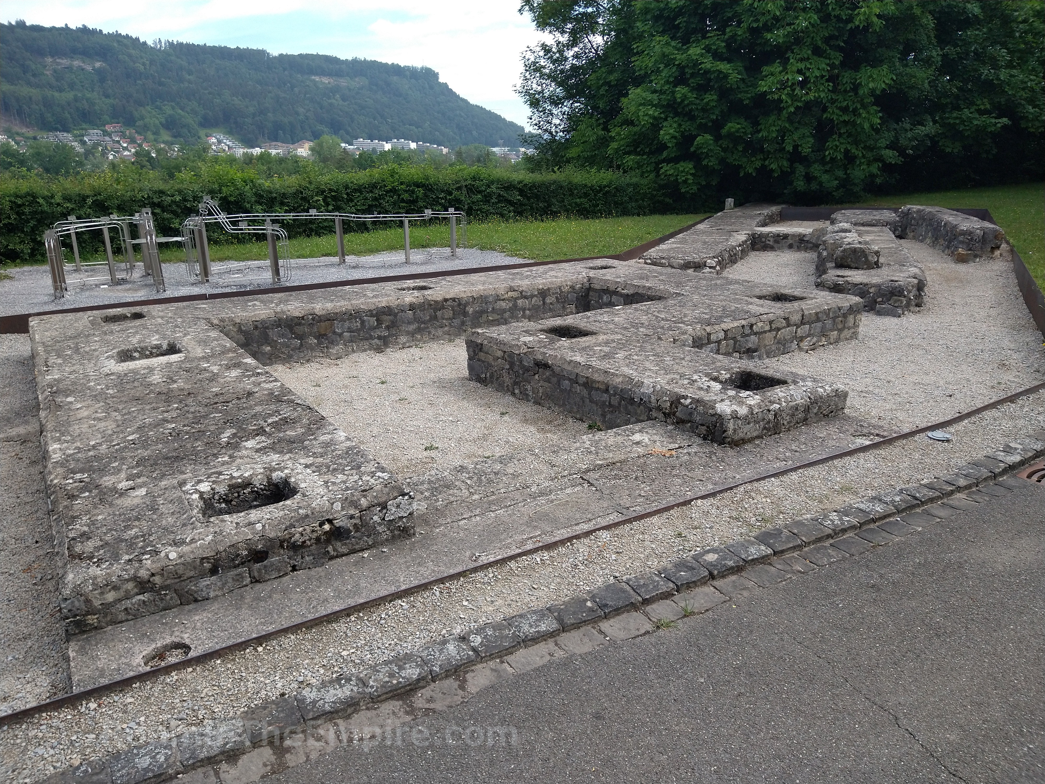
Heading back north on Bergstrasse, which shortly merges with Hauserstrasse, and north to the roundabout, there’s a park type area surrounding the Königsfelden Monastery (Kloster Königsfelden). Just to the west of the monastery is the porta principalis dextra, the western entrance to the legionary fortress. This is believed to have been the most elaborate of the four primary gates of the fortress, with the gate flanked by two 20 meter high octagonal towers. Though the stone fortifications of the fortress were originally constructed between 40-70 CE, this gate seems to have been reconstructed or refurbished near the end of the 1st century CE. Now only some remnants of the foundations remain, but the towers as well as the larger central entrance for cart traffic and smaller flanking passages for pedestrians are clearly visible. Like many of the monuments, there is a small informational sign in French, German, Italian, and English.
Just to the east of the porta principalis dextra, on the other side of the Königsfelden Monastery, is the center of the Legionärspfad Vindonissa, the partially reconstructed legionary camp. This is also where tickets are purchased for the actual Legionärspfad, the legionary trail, which are a series of archaeological areas associated with the camp. The ticket office is located at the north end of the long building directly east of the monastery. The Legionärspfad Vindonissa is open between April 1 and November 1. Tuesday through Friday the operating hours are 9:00 to 17:00 and on Saturday and Sunday from 10:00 to 18:00. Mondays it is closed. Admission to the trail is 14 CHF, but there are also combination tickets that include the VIndonissa Museum for 18 CHF and with the museum and the monastery for 24 CHF. Current prices and hours may be found here.
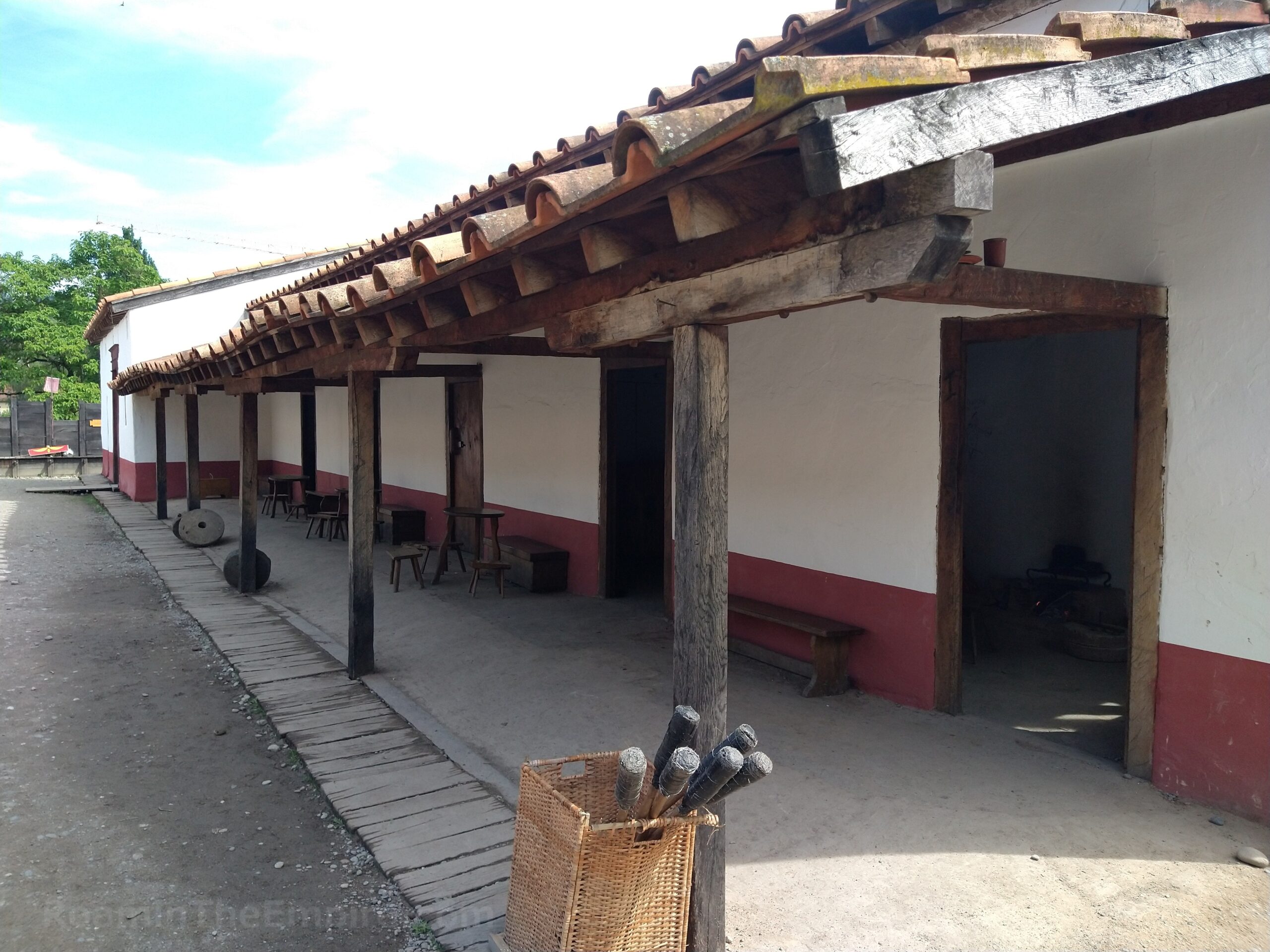
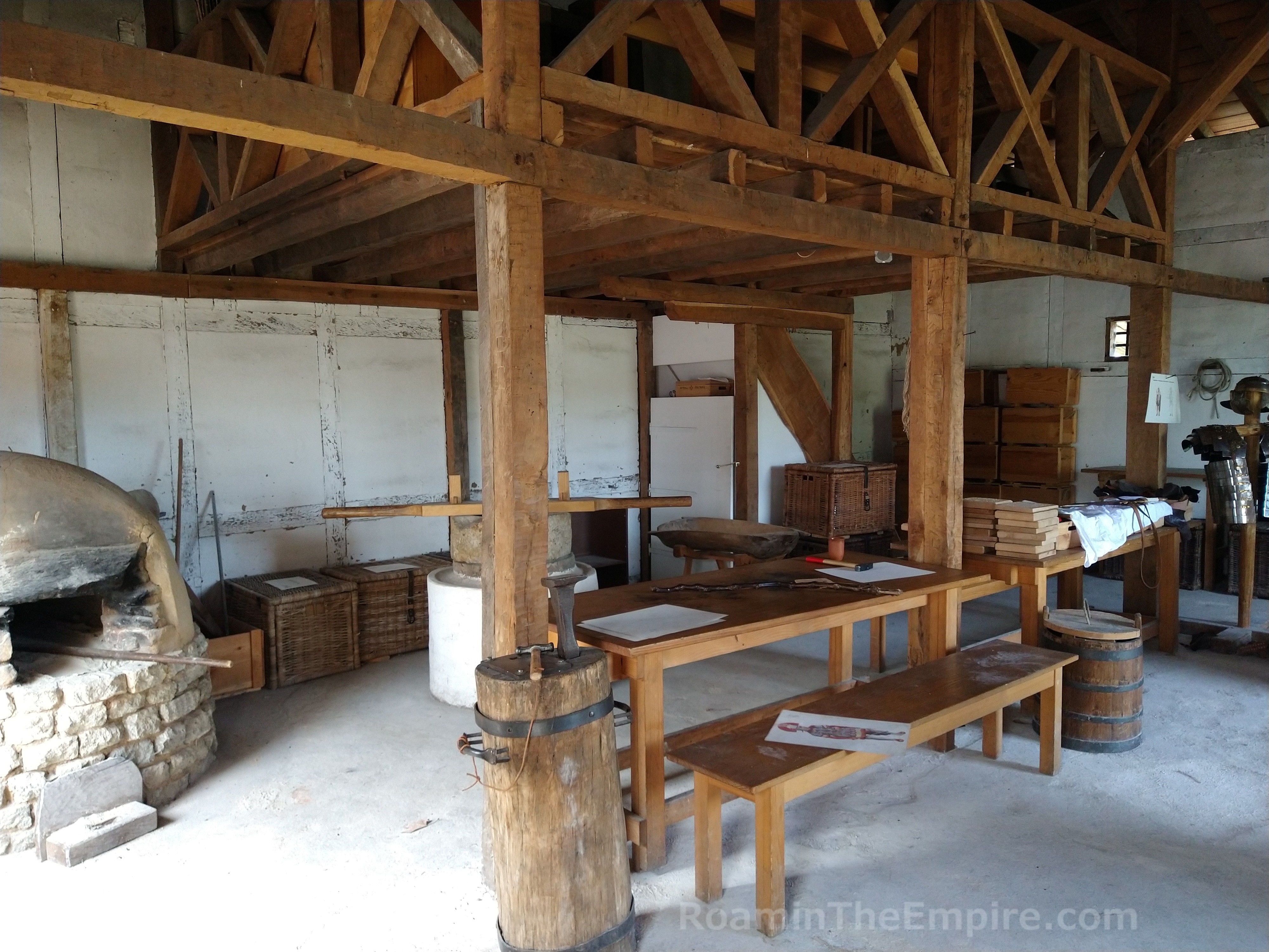
South of the ticket office is the standard room, accessible with a key card given with the ticket. The ticketed sites on the trail are not staffed, but rather require the access key. This room includes replicas of a few legionary standards. Adjacent to that room is a reconstruction of a couple of Roman medical tents with replicas of various objects and tools that would have been associated with Roman medicine. To the north of the ticket office are two reconstructed legionary barracks. Various rooms are furnished with replica objects to represent soldiers and officers’ quarters as well as workshops that would have been associated with a legionary camp. Everything looked pretty good as far as reconstructions go; there were a lot of school kids that looked to be participating in some sort of day camp in this area, so I didn’t spend terribly long there.
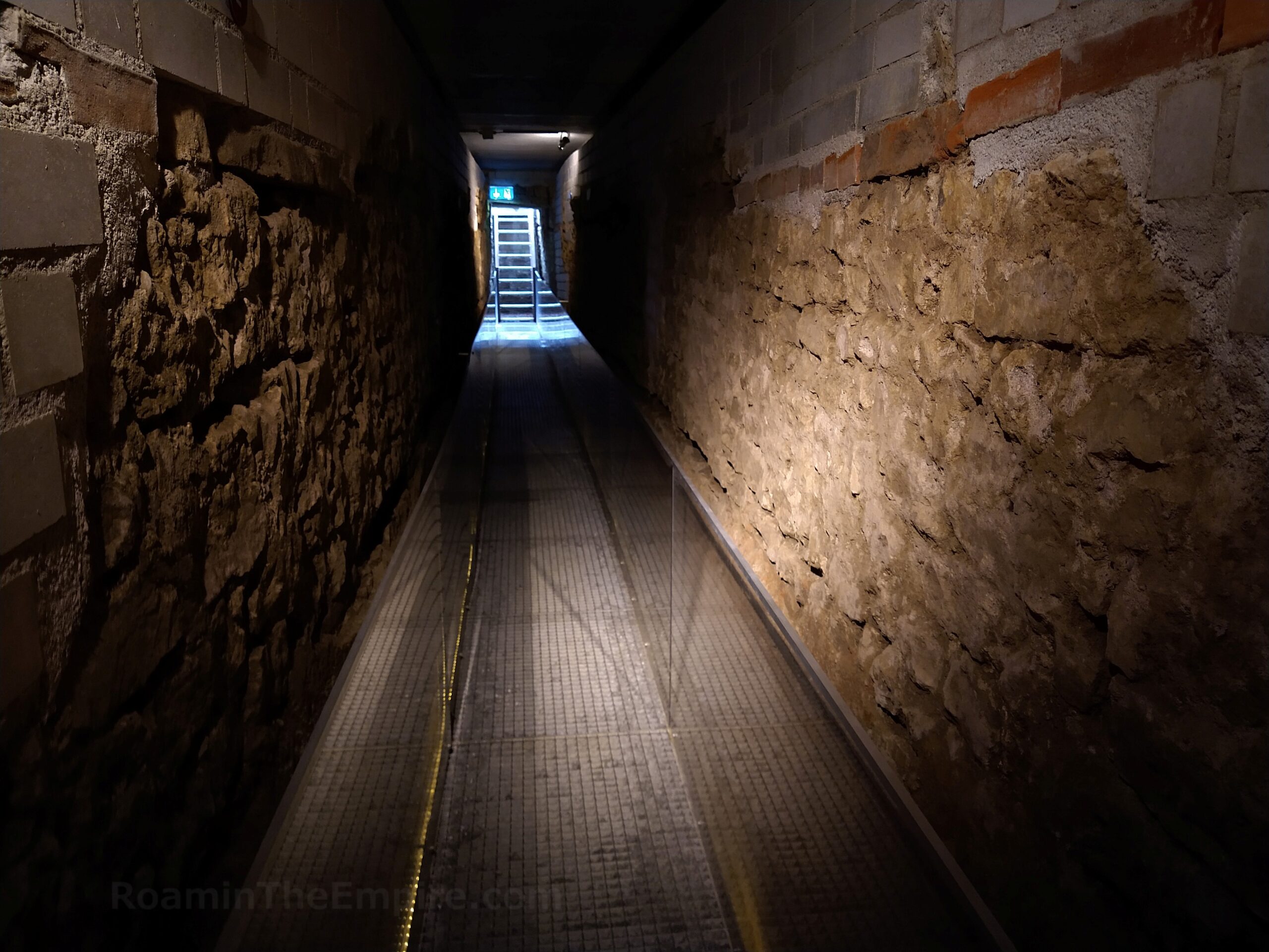
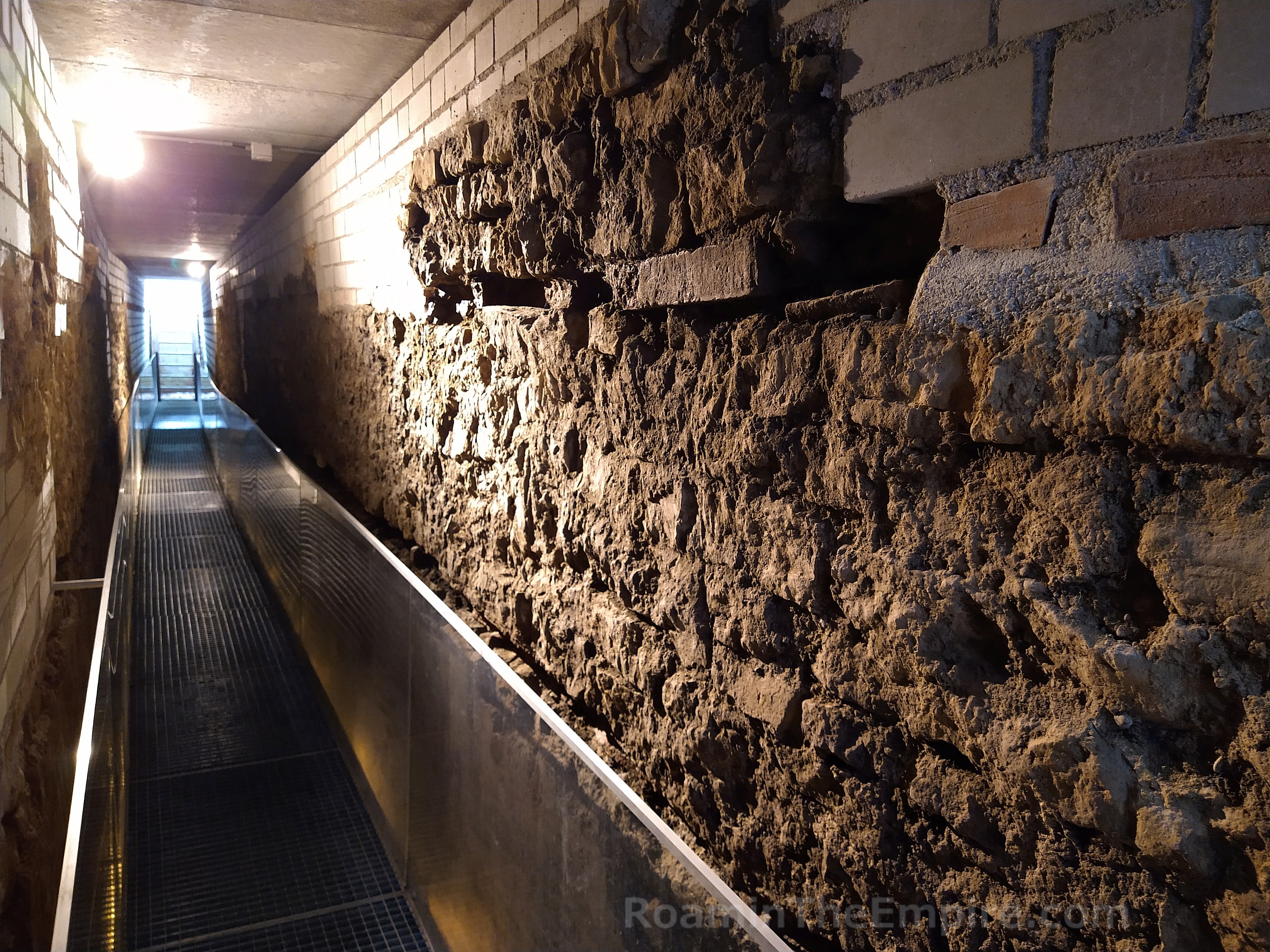
About 200 meters north of the barracks, along Königsfelderstrasse, are the entrances to a stretch of a Roman sewer channel that has been preserved. The line actually runs under Königsfelderstrasse and there is an entrance a few meters to the north of the street and a few meters south of the street. Although this site doesn’t require a ticket to the Legionärspfad Vindonissa, it is only open during the operating hours of the trail (closed Monday and open Tuesday through Friday, 9:00 to 17:00 and Saturday and Sunday, 10:00 to 18:00). Otherwise it is unattended. This sewer line ran along the road that ran inside the western wall of the camp, the intervallum via sagularis. About 20 meters of this channel is preserved and accessible via stairs down below ground level. The entire length can be walked from one entrance to the other.
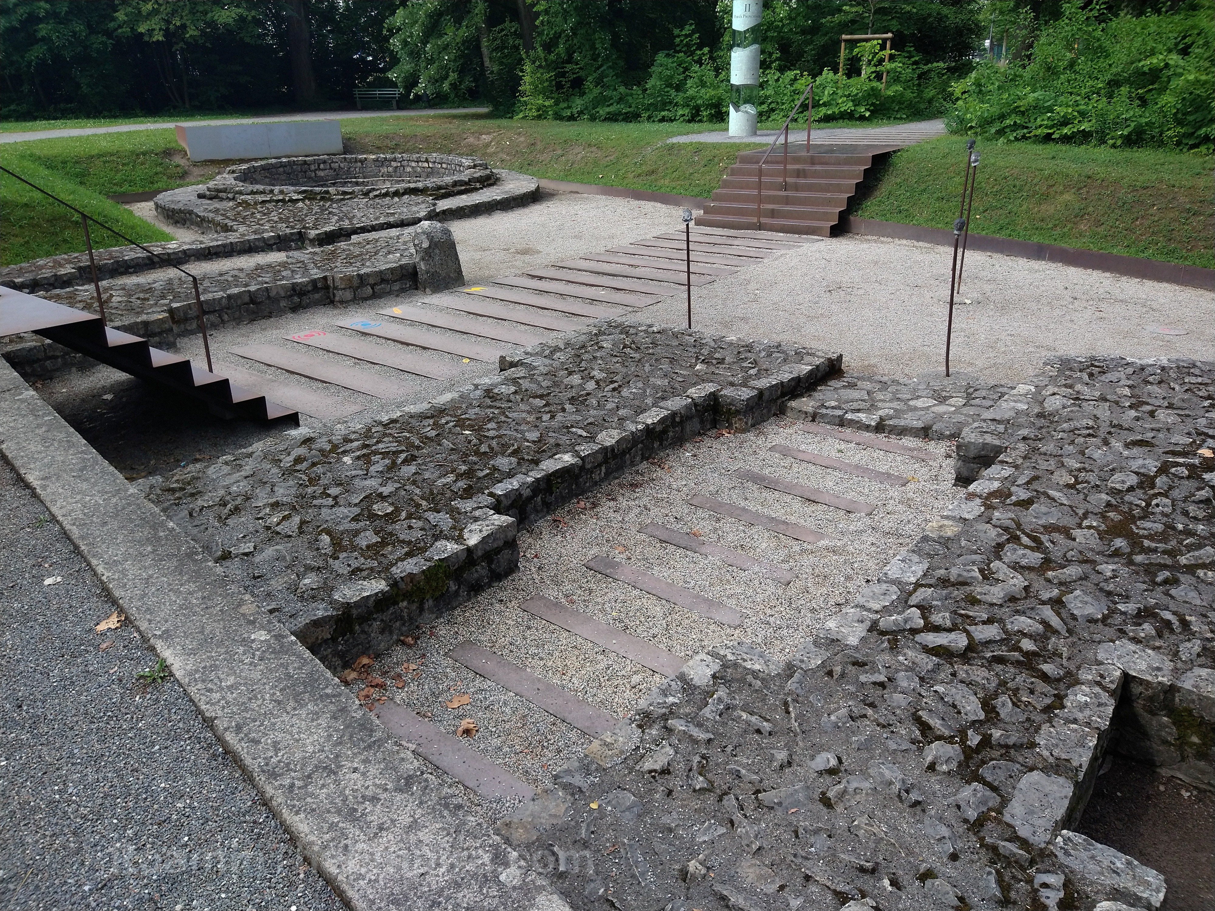
There’s an unnamed pedestrian path just to the north of the northern entrance to the sewer channel. Continuing east about 215 meters on this path leads to the foundations of the northern gate of the legionary fortress, the porta decumana. Like the porta principalis dextra, this is essentially an open access park area that can be visited at any time. The form of the gate is very different from the western gate with only a small pedestrian entrance flanked by two towers. There is a drop off just a few meters north of the gate, a slope down from the plateau to the Araris. Because of this, the gate did not handle any cart traffic into or out of the fortress, but was rather used as access to a dumping area on the slope leading down to the river. The gate is also somewhat recessed into the course of the walls.

On the south side of the path, opposite the porta decumana, is a sign in front of a low concrete box with a metal covering. Preserved beneath the metal covering, which can be opened to view inside, is an in situ Roman drain covering. The grate of the covering is star-shaped. This drain was part of the via sagularis that ran along the inside of the northern walls of the legionary fortress. Both the gate and the drain have short informational signs in French, German, Italian, and English.
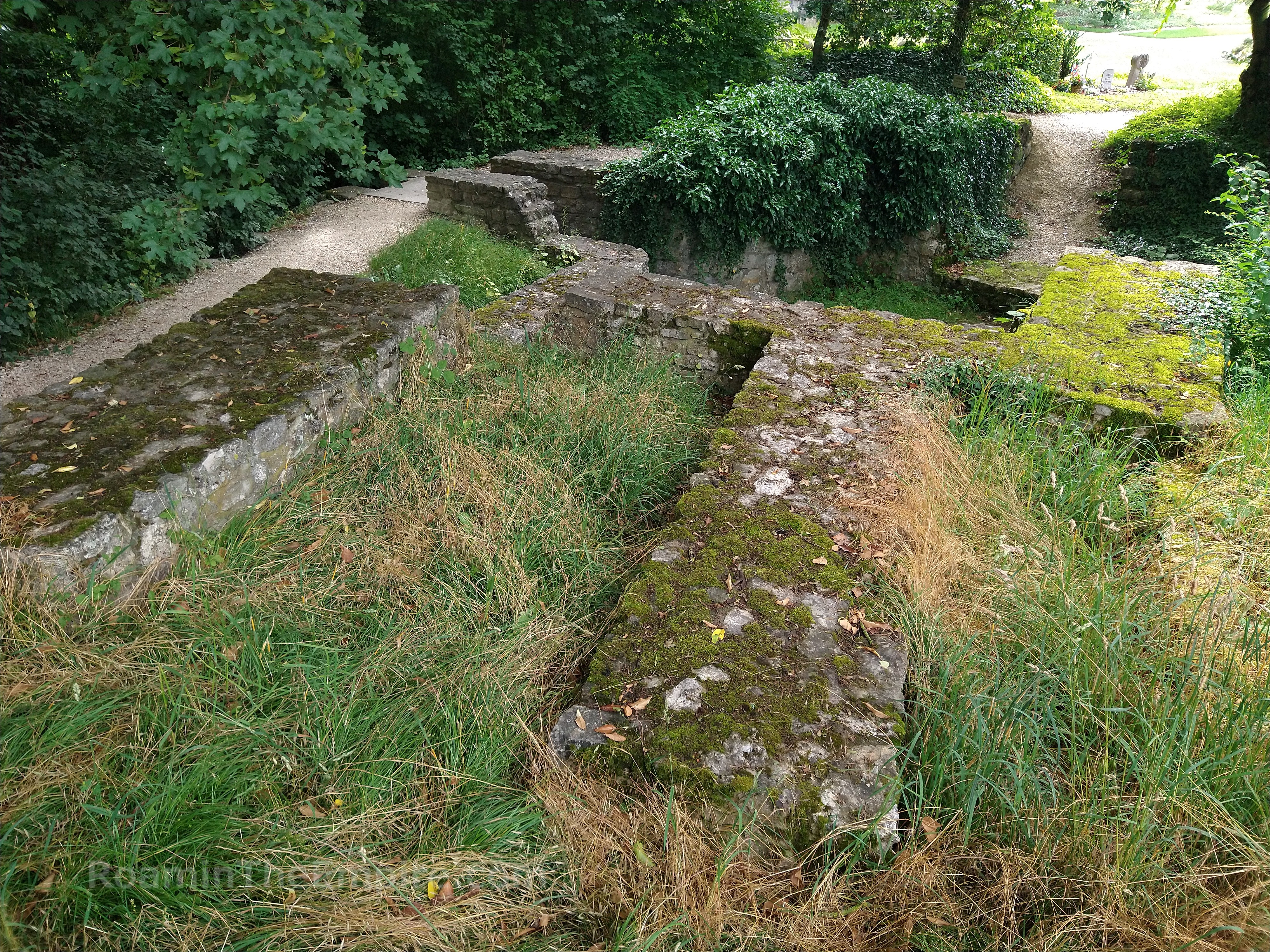
The paved path continues east and the curves around to the south. Right at the curve is a gate in a chain link fence with a dirt path that continues on to the east. The path continues for about 150 meters, skirting along a school sports field to the south. Effectively at the northwest corner of the Friedhof Windisch cemetery are the foundations of a tower from the fortification wall. This tower would have been on or around the northeast corner of the fortifications of the legionary fortress. Like the other remnants of the fortification system, these are open access in a public area. Unfortunately, there is no information on site, and this particular point of interest isn’t part of the Legionärspfad Vindonissa nor acknowledged as part of the archaeological itinerary of Vindonissa.

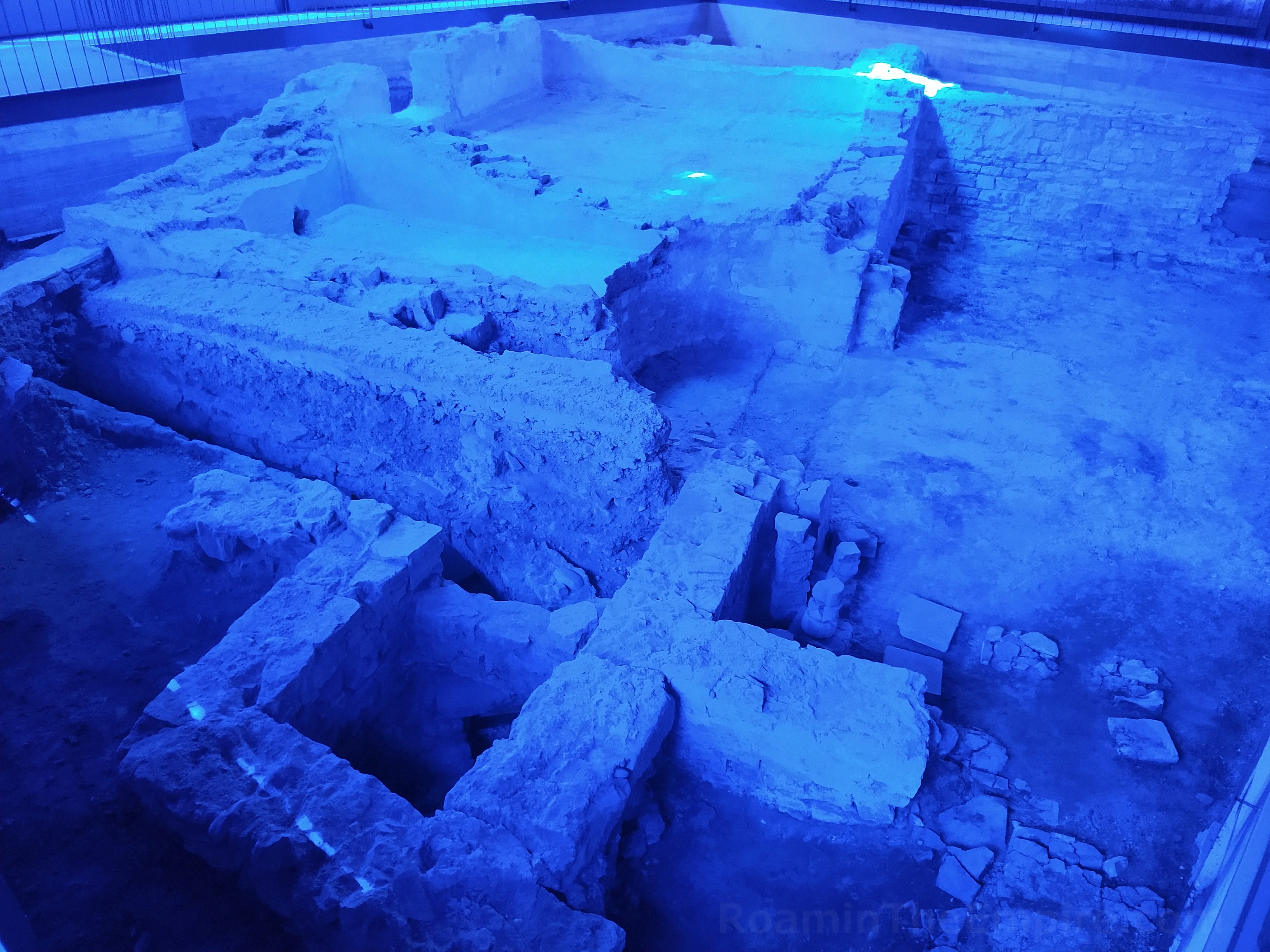
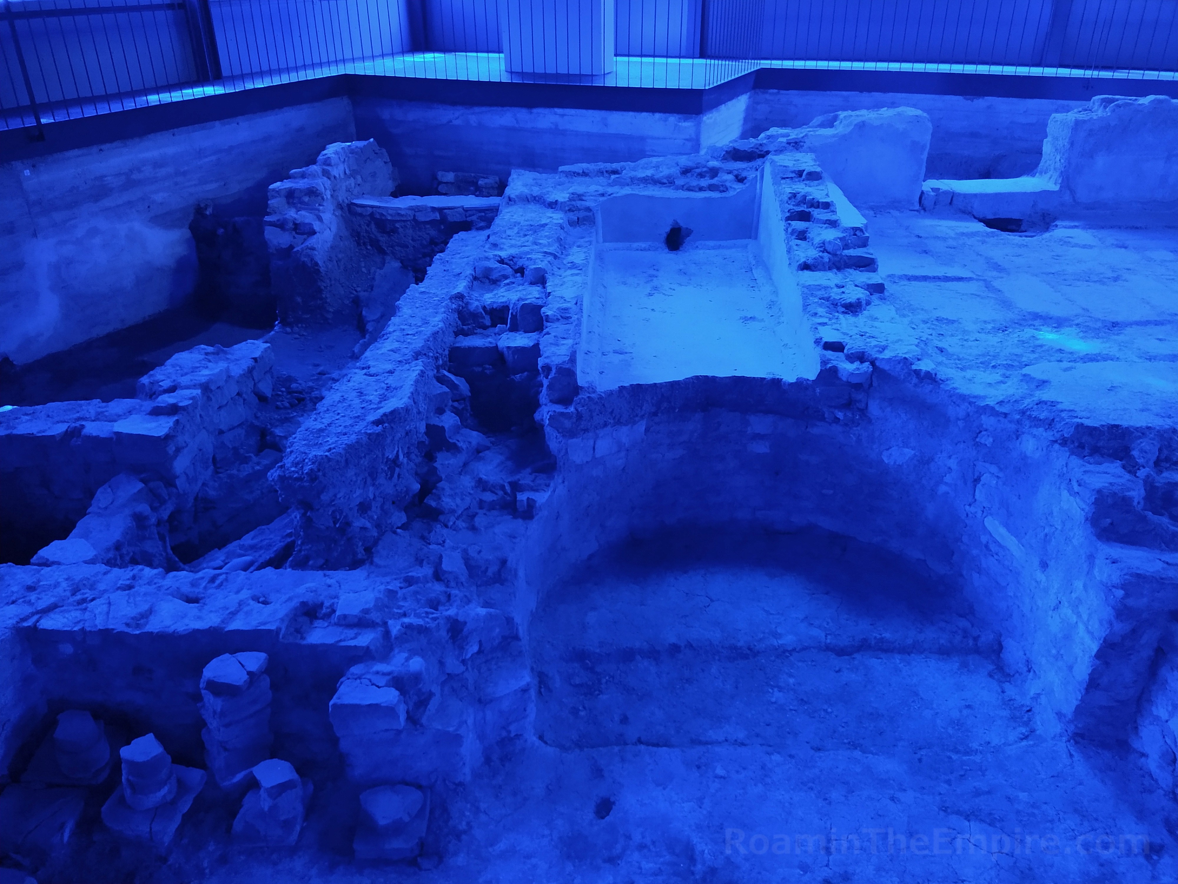
The path then continues into the Friedhof Windisch cemetery. Along the north side of the cemetery, about 50 meters from where the trail enters into the cemetery, is the next stop on the legionary trail, the baths. Enclosed inside a building, these require the ticket to enter, and as such are only open during the opening hours of the Legionärspfad Vindonissa. These baths were located outside the walls of the legionary fortress, and perhaps belonged to a mansio. They were originally constructed around 100 CE. The baths underwent a total of 6 building phases, the most significant of which (other than the initial construction) was the 4th building phase in the late 2nd or early 3rd century CE. This was the period in which the baths took on the form that can now be seen. These baths functioned until the 4th century CE, when they were destroyed around the time the later fortifications were constructed.
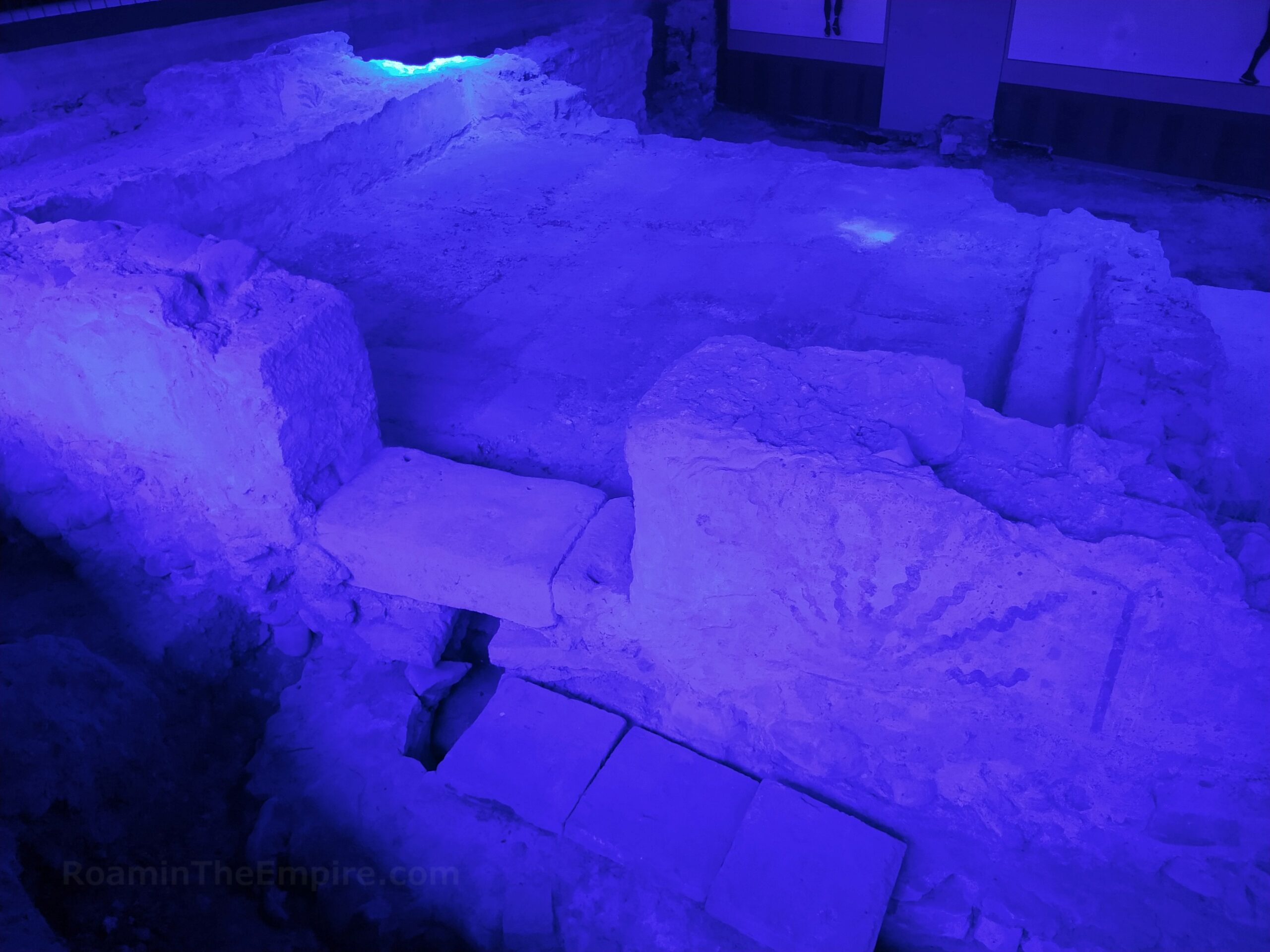
The largest room partially preserved in the excavations is located on the north side of the building; the tepidarium. Some remnants of the hypocaust system are scattered around the room. There’s an apse on the south side of the room that seems to have been removed in later floorplans. On the east side of the tepidarium is a very small section of the room’s praefurnium. South of the tepidarium is a roughly square room with tile impressions that served as a frigidarium. To the east, partially bisected by the apse of the tepidarium, was a water basin with a visible drain for the frigidarium. There is some surviving wall painting on the southern exterior of the room, adjacent to the doorway. A water channel, partially covered in tile, leads in/out from under the frigidarium beneath the doorway.

To the west of the frigidarium is the tiled apodyterium with some surviving wall painting on the interior east wall of the room that is shared between the apodyterium and the frigidarium. Water channels are visible at various points around the baths, particularly to the southeast of the tepidarium where a large channel runs across the area and the previously mentioned channel running from the frigidarium. Unfortunately, I could not get the lights to work, so all my pictures were cast in blue from the ambient light coming through the blue-tinted windows (which seem to be a measure to prevent people from looking in from outside). There are a few signs with some diagrams and illustrations of the baths and information in French, German, Italian, and English.
Continued In Vindonissa Part III




Sources:
Grant, Michael. A Guide to the Ancient World: A Dictionary of Classical Place Names. New York: Barnes & Noble Books, 1997.
Schwartz, Peter-Andrew, Nikolas Hächler, and Beat Näf. Mauren Gegen Migration?, Regensburg: Verlag Schnell & Steiner GmbH, 2020.
Smith, William. Dictionary of Greek and Roman Geography. Walton & Murray, 1870.
Southern, Patricia. The Roman Empire from Severus to Constantine, Routledge, 2001.
Stillwell, Richard, William L. MacDonald, and Marian Holland. McAllister. The Princeton Encyclopedia of Classical Sites. Princeton, NJ: Princeton U Press, 1976.
Tacitus. Historiae, 4.61.
Trumm, Jürgen. “The Fortress of Vindonissa”, Strategy and Structures Along the Roman Frontier, Leiden: Sidestone Press, 2024.
Trumm, Jürgen. “Vindonissa”, Historiches Lexikon der Schweiz, Basel: Schwabe, 2014.