


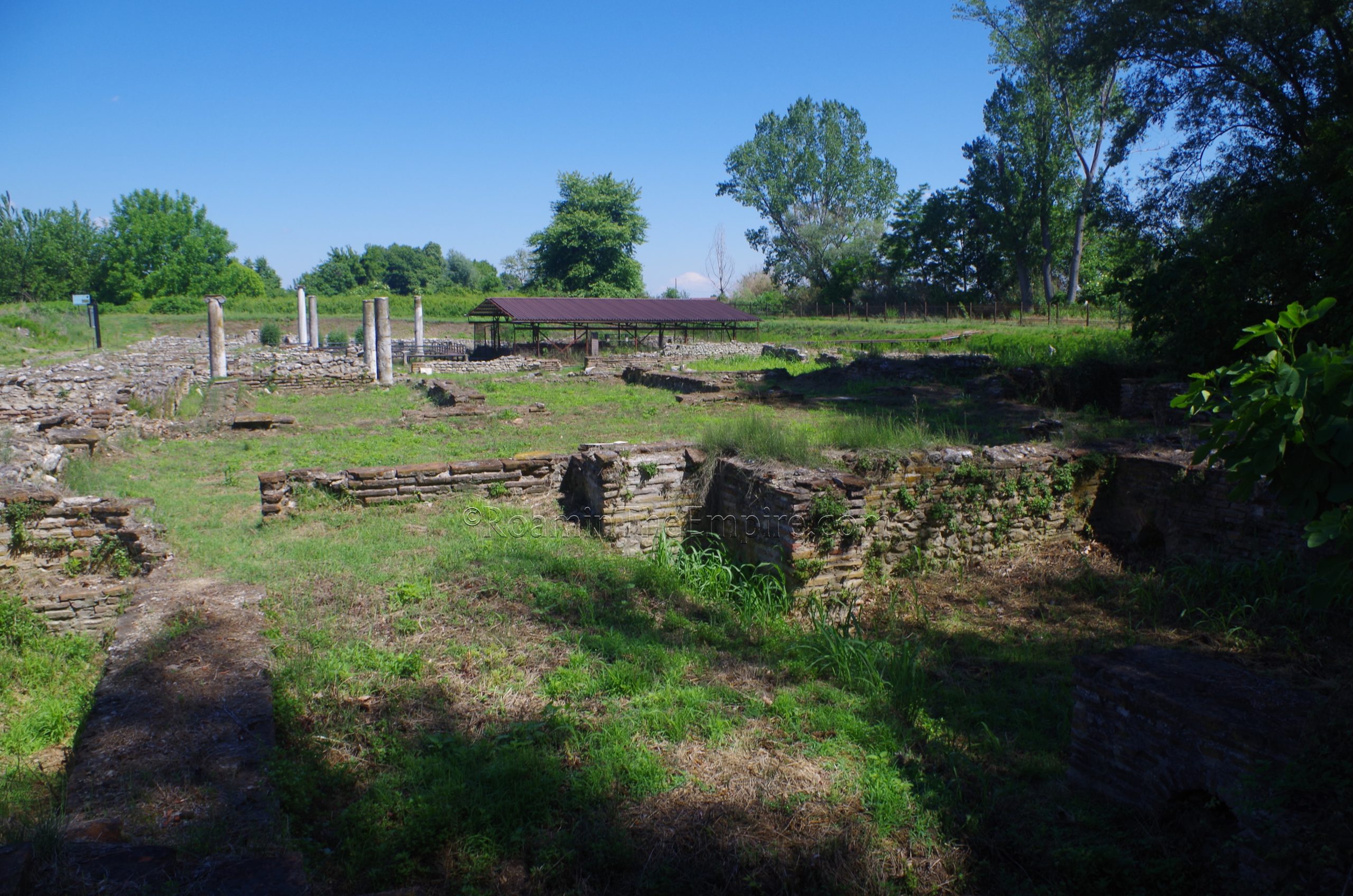
To the west of the forum of Dium, across the previously mentioned small road running along the west side of the forum, is the Episcopal Basilica. Construction was begun on the basilica in the late 4th century CE, but was never finished due to destruction from an earthquake. A new basilica was constructed on the ruins of the unfinished basilica. A distinctive triple conch/apse structure is located to the south of the basilica, though the exact function has not been determined. It has been proposed that it may have been a triclinium from the residence of the bishop. A martyrium or baptistery has also been suggested. The basilica is mostly inaccessible to visitors, though there is a walkway that runs over the building to view some of the interior spaces that aren’t as readily visible walking the route around the excavations here.
There is a small excavated area about 85 meters northwest of the Episcopal Basilica, accessible via a path that runs north, about 25 meters west of the basilica. This isn’t really on any of the plans for the site (I only found it by scouting the satellite imagery) so there isn’t much information about what it is. It does have an interesting structure within it that looks like a series of brick arcades. It could possibly be some sort of hypocaust system, so perhaps a bathing complex. Going back to the basilica, just to the north, across the decumanus is another building without any identification. There is no access to the interior, but, there seems to be an atrium in the center of the structure. The layout looks like that of a large residence.
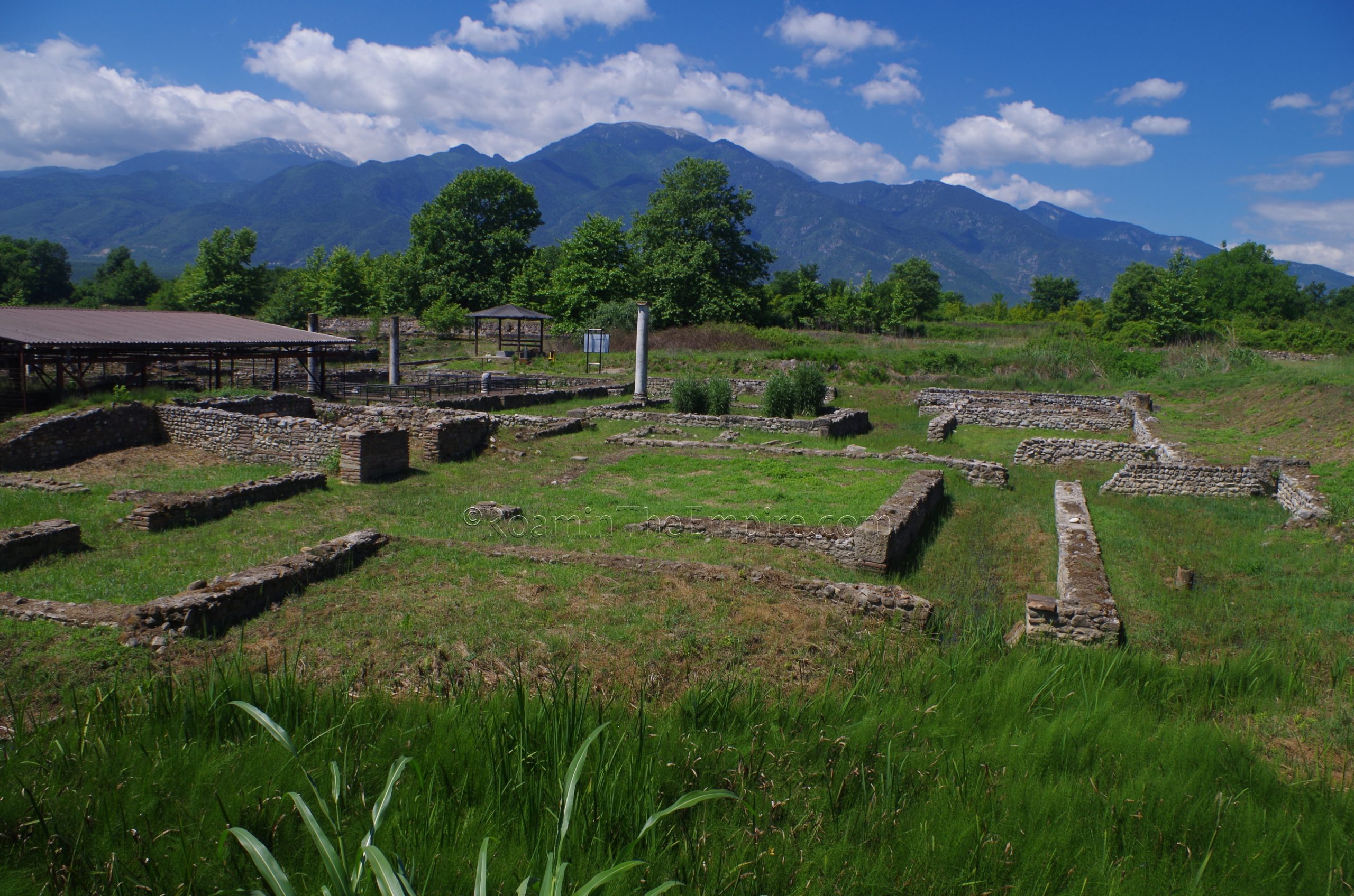
Heading west down the decumanus, on the north side of the street, just before reaching the intersection with the cardo maximus (at what would be the northwest corner of the intersection), is the so-called Polygonal Building. The building derives its name from the twelve sided central court around which it is arranged. It is not so apparent from the ground level, but from above (a picture is included on the information board) it can be seen much better. The court was surrounded by a portico and a series of rooms. This structure almost certainly housed the macellum, reinforced by the discovery of a mensa ponderaria donated by one Lucius Cassius Primus nearby, and now on display in front of the Polygonal Building. A mosaic of athletes remains in-situ in the room facing south onto the decumanus, but it was covered up at the time of my visit. There is no access into the building, as it is roped off and can only be viewed from the street. Like many of the other Roman constructions at Dium, this building dates to the late 2nd or early 3rd century CE.
Dropping back down the cardo maximus to the south about 45 meters, directly across the street to the east from the armor frieze on the civic basilica of Dium, that insula is occupied by a bathing complex. Not much is really discernible regarding the form of the baths, the area was fairly overgrown and the remains of the baths do not appear to be well conserved. The insula to the north, which has intact streets bounding all four sides, contains some architectural remains, but, is even more overgrown the bathing complex to the south, and so not much can be seen here either.
North of that, now across the cardo maximus from the Polygonal Building, is the so-called Praetorium, as described by an inscription found here. Not to be confused with the more common usage of the term to describe the quarters of the commander of a fort or the residence of a Roman governor, this building seems to have been a guest house for important visitors to the city, more akin to the Greek katagogion. The Praetorium of Dium had a series of three tabernae on the south, and five rooms for guests as well as a triclinium. Dolia can still be seen embedded in the ground in the room at the southwest corner of the structure. The building is somewhat accessible, it was a little overgrown in some areas and a little marshy in others, but there were no blockades limiting access. Across the road to the east were found some public latrines, though the area was too overgrown and marshy to see anything that resembled latrines when I visited.
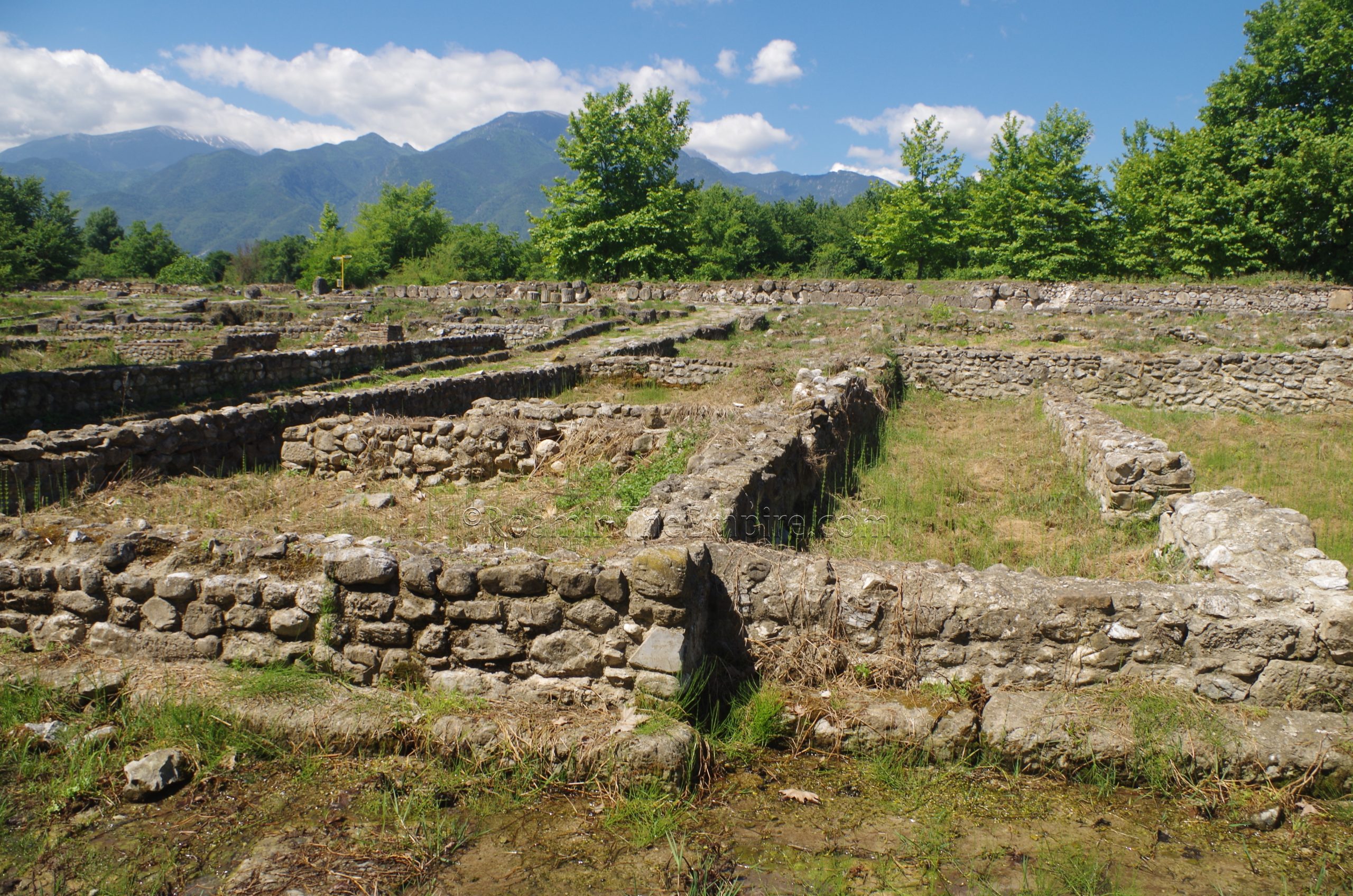
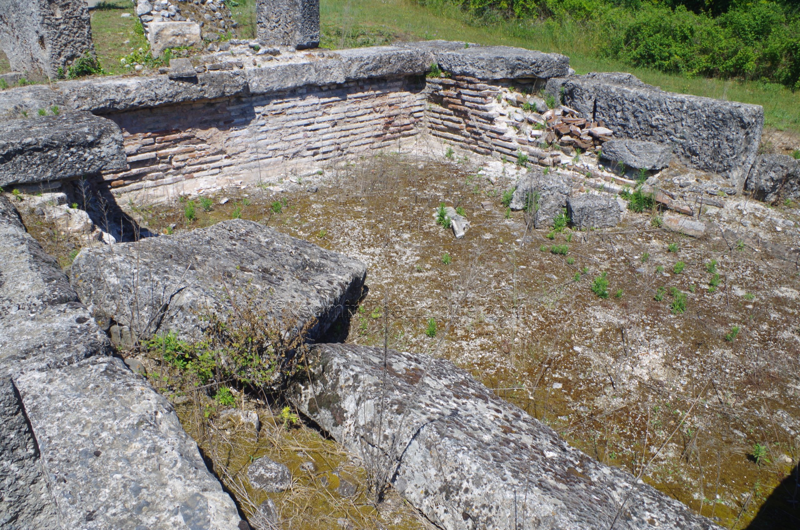
Across the street to the north, is an area referred to as the Hydraulis Sector. This building complex gets its name from the discovery of an hydraulis among a number of other bronze objects, some in various states of repair or finish, indicating it was likely a workshop of some sort. dating to the 1st century CE. As the name suggests, this was a Greek musical instrument that employed water to create sound. The instrument and finds are now in the museum. There are various phases of construction identified, with the primary building having gone on during the 2nd and 3rd century CE. Another phase dating to the 4th or 5th century CE made alterations and additions to the building.
The complex of the Hydraulis Sector was arranged around a central courtyard. A stoa seems to have lined the western façade, facing onto the cardo maximus. A large room on the east side of the building is where the hydraulis was found. Use for this building seems to have been mixed with commercial and residential function. Though there aren’t any barriers around this complex, access to the interior of it is fairly limited beyond a couple of the exterior rooms by overgrowth and the marshy areas within.
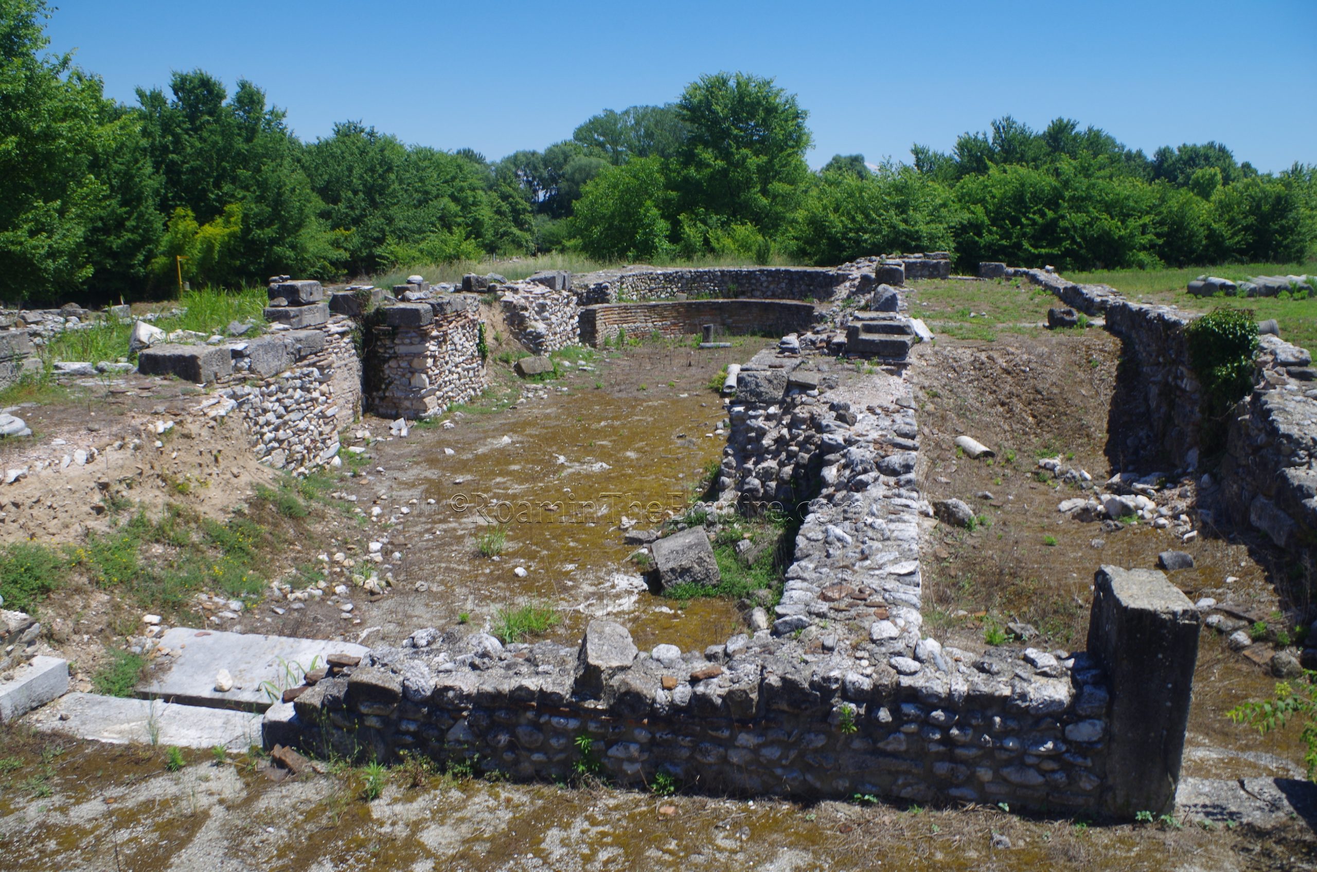
West of the Hydraulis Sector is a large residential complex termed the Villa of Dionysus. A mosaic found depicting the triumph of Dionysus in a banqueting room of the villa (the one that is now covered by a modern roof, though the mosaic is no longer in situ) as well as statues and other paraphernalia that suggest there might have been a shrine to the god inside the villa, give the structure the name it is known by today. The villa was built in the late 2nd or early 3rd century CE but was later heavily damaged in an earthquake. There is evidence to suggest repair work was prepared or had begun on the residence before a fire swept through and halted work to repair the building, and it was abandoned.
The southern part of the Villa of Dionysus contains a sizable private bathing complex. Brick archways for the flow of hot air and the remains of the hypocaust systems can be seen in the southernmost of these rooms, with the praefurnia located closest to the cardo that runs along the western side of the villa. Aside from the couple rooms closest to the road, most of the baths area was inaccessible (and at times, obscured) by the overgrowth as well as the marshy spots prevalent in this part of the site, which is adjacent to the river. North of the baths, running along the street were a series of tabernae, with two of the atria of the house, one with a distinctive impluvium, and the other with columns, visible but not really accessible at the interior of the villa beyond the tabernae.
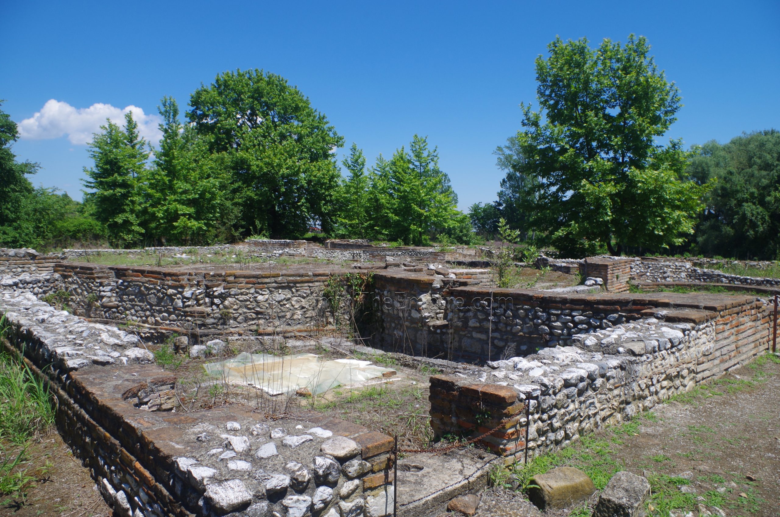
About two thirds of the way up the western side of the villa, there is finally a walkway that allows some access to the internal part of the villa. This walkway leads past another columned atrium and an interesting room with low brick arches along two sides which, for the life of me, I cannot not find any information on the function. Possibly the shrine to Dionysus that is mentioned, but I’m not totally sure. This walkway leads to the banquet hall where the mosaic was found, as well as some Hellenistic philosopher busts and the materials for repairing the villa were found. The banquet hall is fenced in, and at one time the walkway continued through the banquet hall and out the other side continuing to the eastern extent of the excavations here. That is no longer possible, though one can walk around the exterior to get access to that side of the walkway, which followed a wide pathway from the neighboring property to the banquet hall in antiquity. Two peristyle courtyards dominate the northern part of the villa.
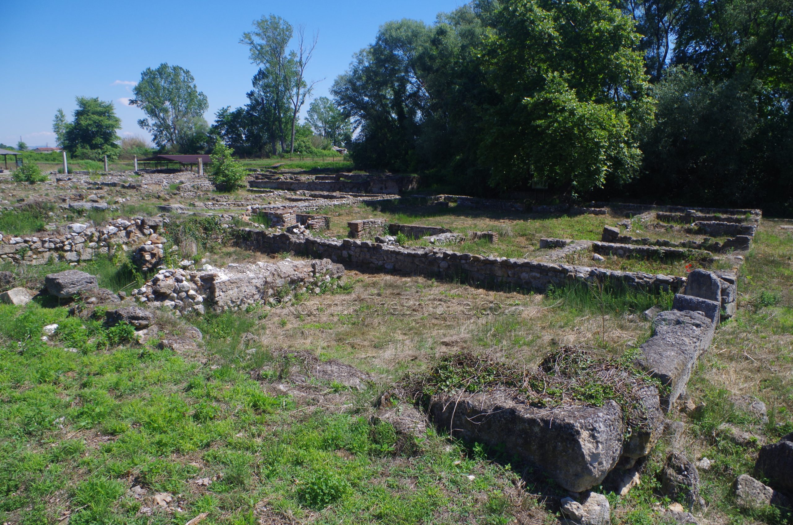
North of the Villa of Dionysus was another large residence, the House of Athena. An intaglio of the goddess found in the excavations led to that moniker. Unfortunately, there’s nothing to see here at the moment, as it seems to have been reburied and/or very severely overgrown. Some outlines of structures can be seen in satellite imagery, but there’s nothing that can really be distinguished on the ground.
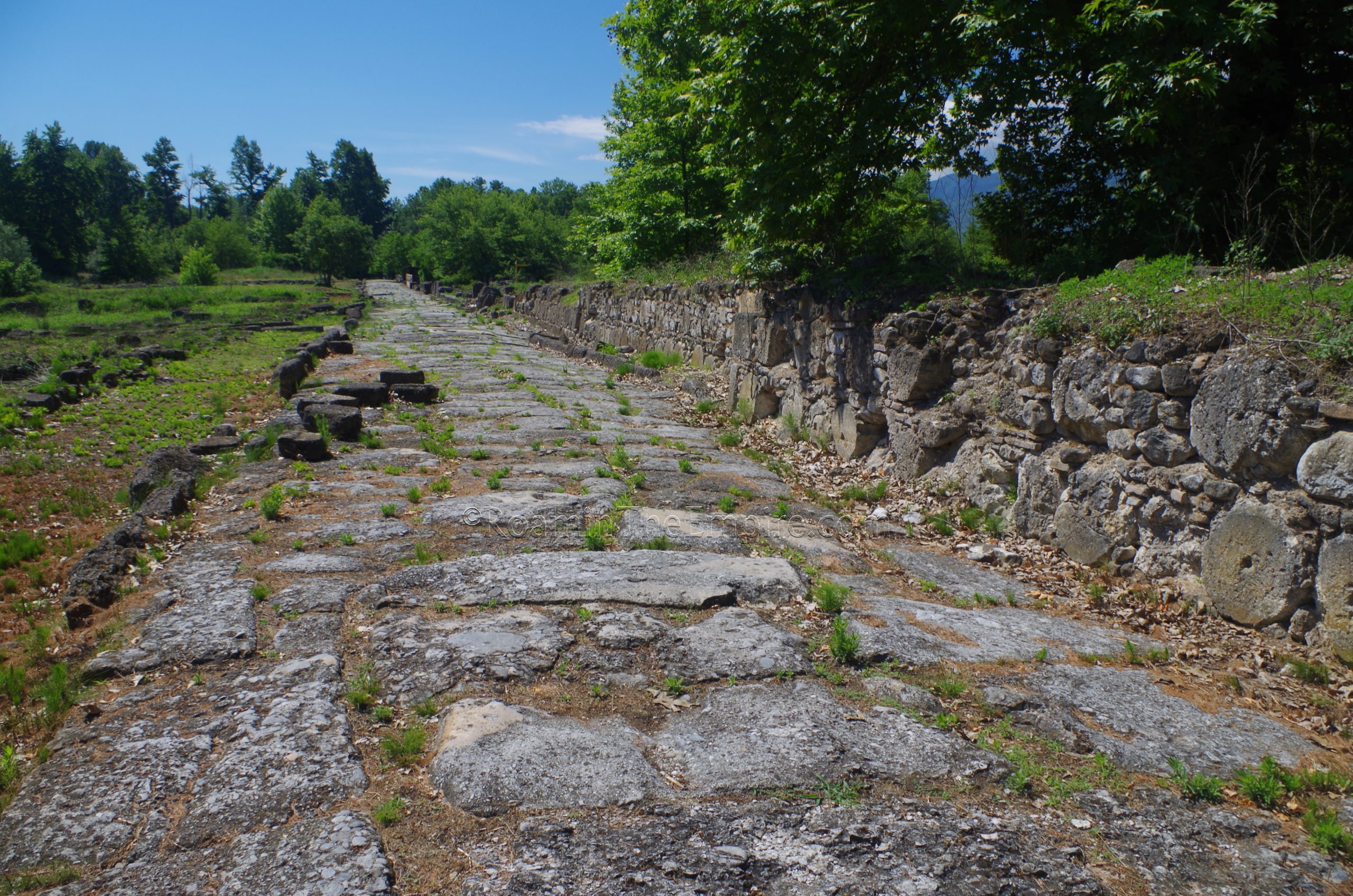
Going back to the west to the cardo maximus, starting at the Polygonal Building, the western side of the road is lined by the interior wall of Dium. Following the decline of the city and the Germanic invasions, the latter half of the 4th century CE saw the walls of the city significantly reduced. Essentially the northern and eastern lines of fortification were abandoned and the southwestern corner of the city was enclosed in a new eastern and northern circuit of walls. Portions of the previously existing western and southern fortification walls were maintained. As was the case with the previous bit of mid-3rd century CE walls near the Sanctuary of Isis, the wall running along the west side of the cardo maximus makes use of reused building materials. In particular, this stretch of the walls is composed heavily of spoliated Hellenistic column drums, which is very apparent when looking at them. These walls were damaged to the point of no longer being useful in the 5th century CE.
The interior wall continues along the cardo maximus for about 110 meters to the north, when the wall then turns to the west. The cardo maximus continues on for a short distance before it is no longer excavated. The path then follows the 4th century CE northern walls for about 440 meters. A series of towers at 40 to 60 meter increments is visible. At the end of this northern circuit, the 4th century CE walls intersect with the earlier western fortification wall that was constructed and destroyed a few times; the last time evidently after the Romans destroyed them in the Third Macedonian War. This line of fortifications largely fell out of use during the Roman period, though, but was again repaired in the 3rd century CE with the more imminent threat of the Germanic incursions. Indeed, part of the earlier western wall can be seen continuing north past the point where it intersects with the new wall. Some of the original western walls of Dium north of this point and some of the original northern walls are extant, but are not inside the archaeological park, or are cannot be visited from inside the park, rather. They are visible in places, but not really accessible, outside the park.
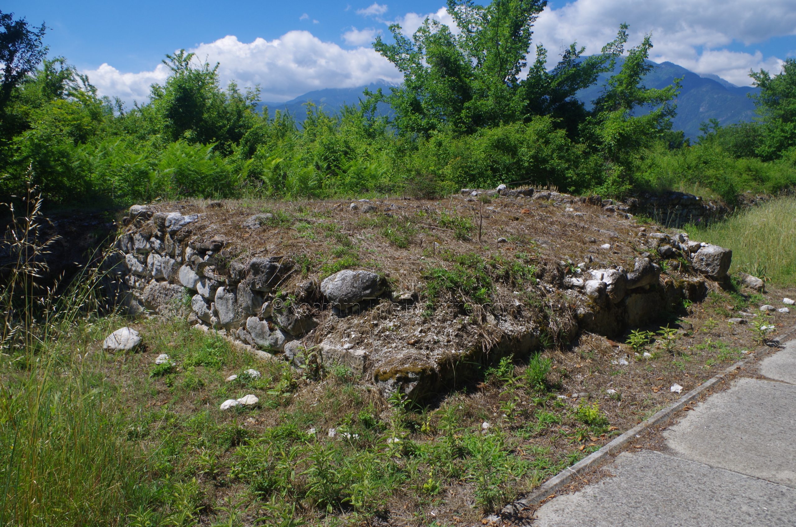
The path circumvents the little bit of the walls projecting north and continues then south along the exterior of the western walls. About 180 meters south, after a couple of small deviations, the path veers around some remains of an aqueduct as it approaches the city walls. Built during the Roman period (probably the time of Hadrian) the aqueduct was fed from a water source at the foot of Mount Olympus, about 6 kilometers away. The aqueduct runs mostly underground but is above ground as it approaches the walls, before entering at the mostly disused western gate of Dium (which aligns with the road that runs north of the forum). The western extent that is visible, aligned roughly northwest, is where the aqueduct took a turn and headed more directly west/southwest, following the course of the line of trees and bushes. The foundations of an arcade which carried the aqueduct over a small Hellenistic path, can be seen close to the wall. The path of the aqueduct is clearly visible for about 55 meters out from the fortifications. On the interior side of the wall, the aqueduct collects into the castellum aquae from which it is distributed elsewhere in the city through smaller pipes.


Sources:
Agiamarniotis, Georgios. The Sanctuary of Demeter at Dion and the Cults Worshipped There.
Evangelidis, Vasilis. “Agoras and For a: Developments in the Central Public Spaces of the Cities of Greece During the Roman Period.” The Annual of the British School at Athens, Vol. 109, 2014, pp. 335-356.
Evangelidis, Vasilis. “Macella and Makelloi in Roman Greece: The Archaeological and Textual Evidence.” Hesperia: The Journal of the American School of Classical Studies at Athens, Vol. 88, No. 2, April-June 2019, pp. 283-318.
Lolos, Yannis A. “The Hadrianic Aqueduct of Corinth.” Hesperia: The Journal of the American School of Classical Studies at Athens, Vol. 66, No. 2, 1997, pp. 271-314.
Pandermalis, Dimitrios. Dion: The Archaeological Site and the Museum. Translated by David A. Hardy. Athens: Adam Editions, 1997.
Pingiatoglou, Semeli. “Cults of Female Deities at Dion.” Kernos, Vol. 23, 2013, pp. 179-92.
Smith, William. Dictionary of Greek and Roman Geography. Walton & Murray, 1870.
Stillwell, Richard, William L. MacDonald, and Marian Holland. McAllister. The Princeton Encyclopedia of Classical Sites. Princeton, NJ: Princeton U Press, 1976.
Thucydides. Histories, 4.109.