


Continued From Nicopolis, Epirus Part II
Just across the dirt path (where the cardo maximus would have run) to the west of the odeon are the remains of a temple. Like the bathing complex adjacent to the odeon, these remains too are heavily overgrown and difficult to view from the ground, but perhaps a slightly better view is given from atop the cavea of the odeon. Additionally, this area is fenced off, making any attempt at access, even if the overgrowth weren’t quite so bad, impossible. This temple has tentatively been identified as that of the Capitoline Triad.
About 125 meters north down the dirt path, as it bears off to the west at the split that heads back toward the Araporta, are the remains of another heavily overgrown and inaccessible building. There are some remnants visible from the path among the growth, though. This building is sometimes identified as the Basilica of the Holy Apostles. The exact use of the building is unknown, though it is not believed to have actually been a Christian basilica. More likely, given the location and form, it was probably a Roman civic basilica.
Continuing on farther along this path, about another 375 meters to the north follows the cardo maximus to the north gate of the city’s original circuit of walls. These are unfortunately very heavily overgrown and nothing could be seen except for some glimpses of brickwork among the foliage. The fairly significant remains of the north cemetery are also standing just beyond this gate, but I couldn’t find a workable path to get to them. There seems to be a paved path running through the necropolis, but the overgrowth was too severe to get to it.
It’s also worth noting that somewhere between the basilica and north gate, off to the east and just outside the 5th century walls, is the Domus of Manius Antoninus, but I couldn’t find any sort of workable path to it, and from what I understand, it is closed off without much to see in any case. This wealthy residence seems to have been constructed in the 2nd century CE. The name comes from the identification of the owner of the property during the late 3rd or early 4th century CE, one Manius Antoninus.
Heading back down the road to the temple and odeon, another 140 meters south of the temple at the next intersection are the remains of a water tank. Like the previous structures, this too is overgrown and inaccessible, though perhaps not to the level of the others. The square form of this construction is pretty visible, and it’s really only overgrown at the base, with much of it actually visible, aside from the northern face, which is obscured by an encroaching tree. This water tower would have been located at the very center of the ancient city, at the intersection of the decumanus maximus and cardo maximus.
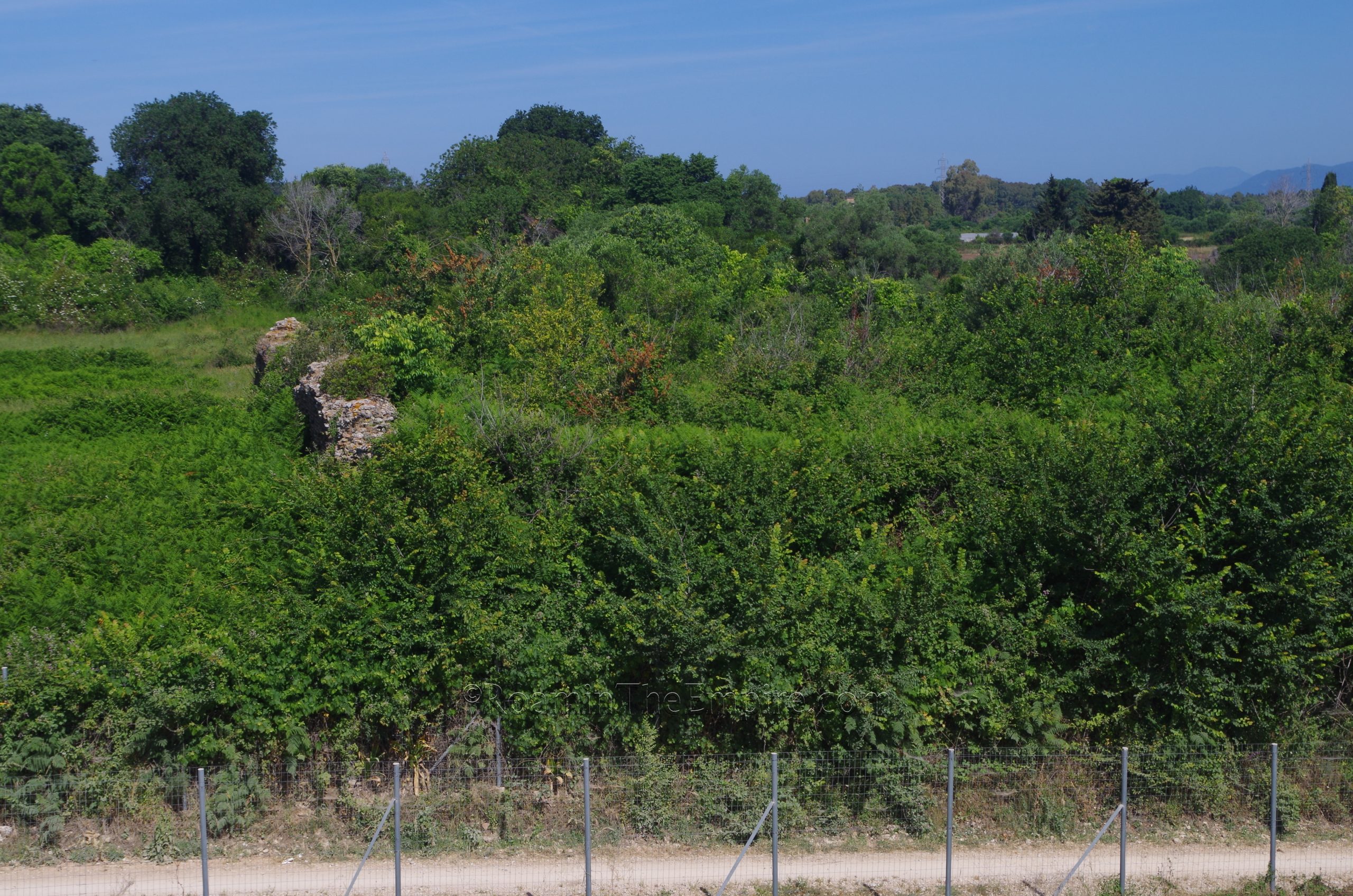
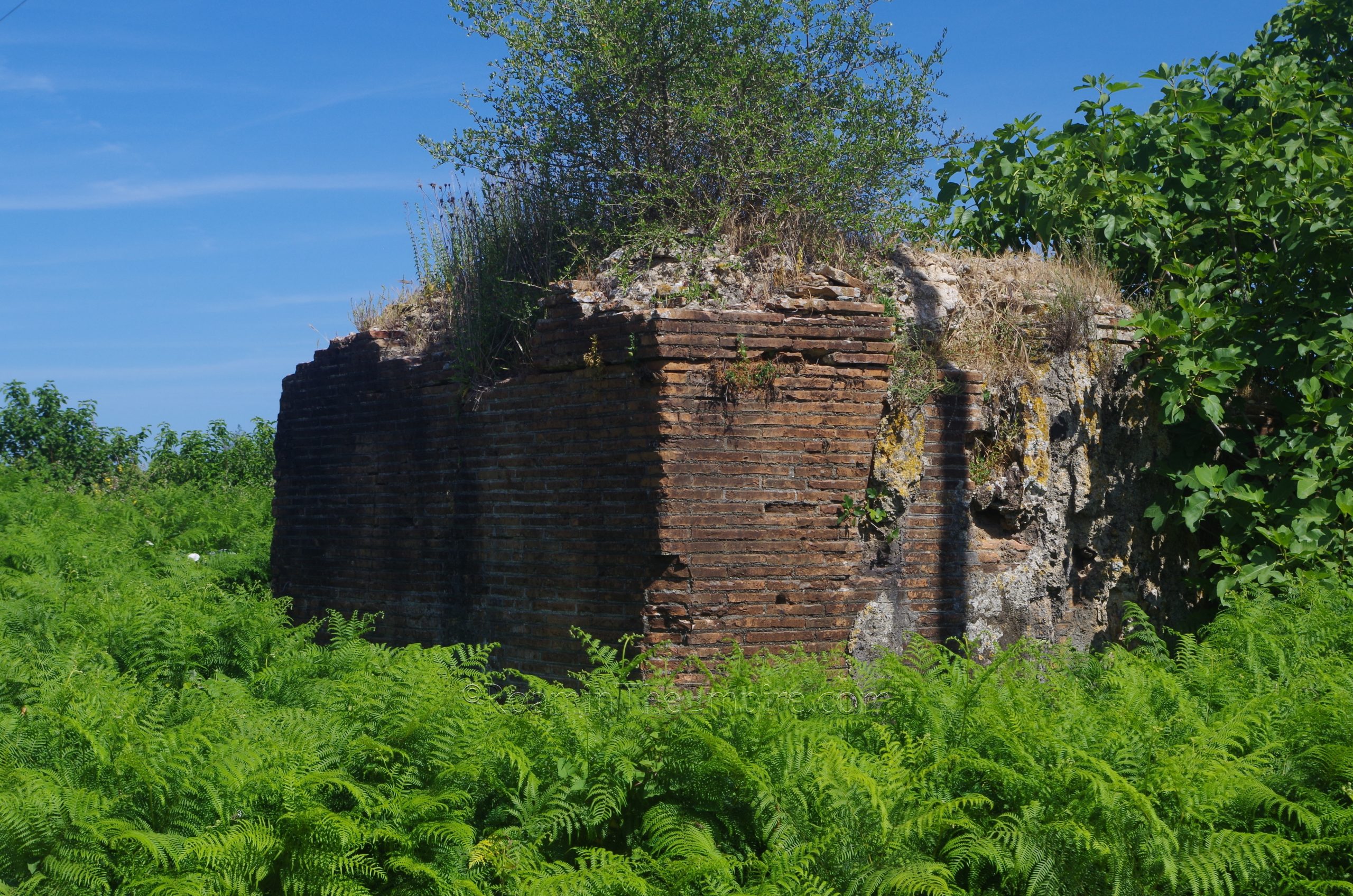
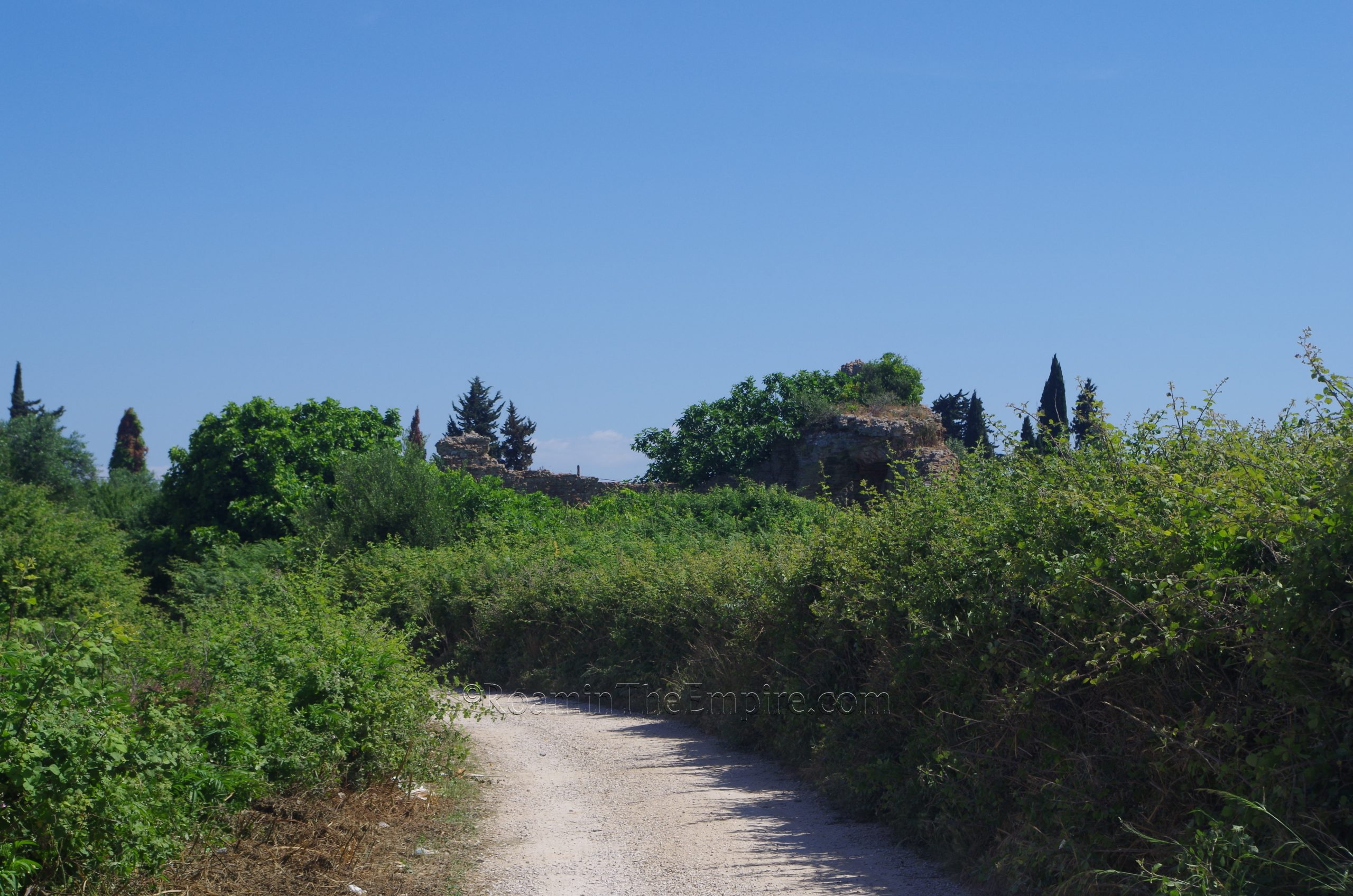
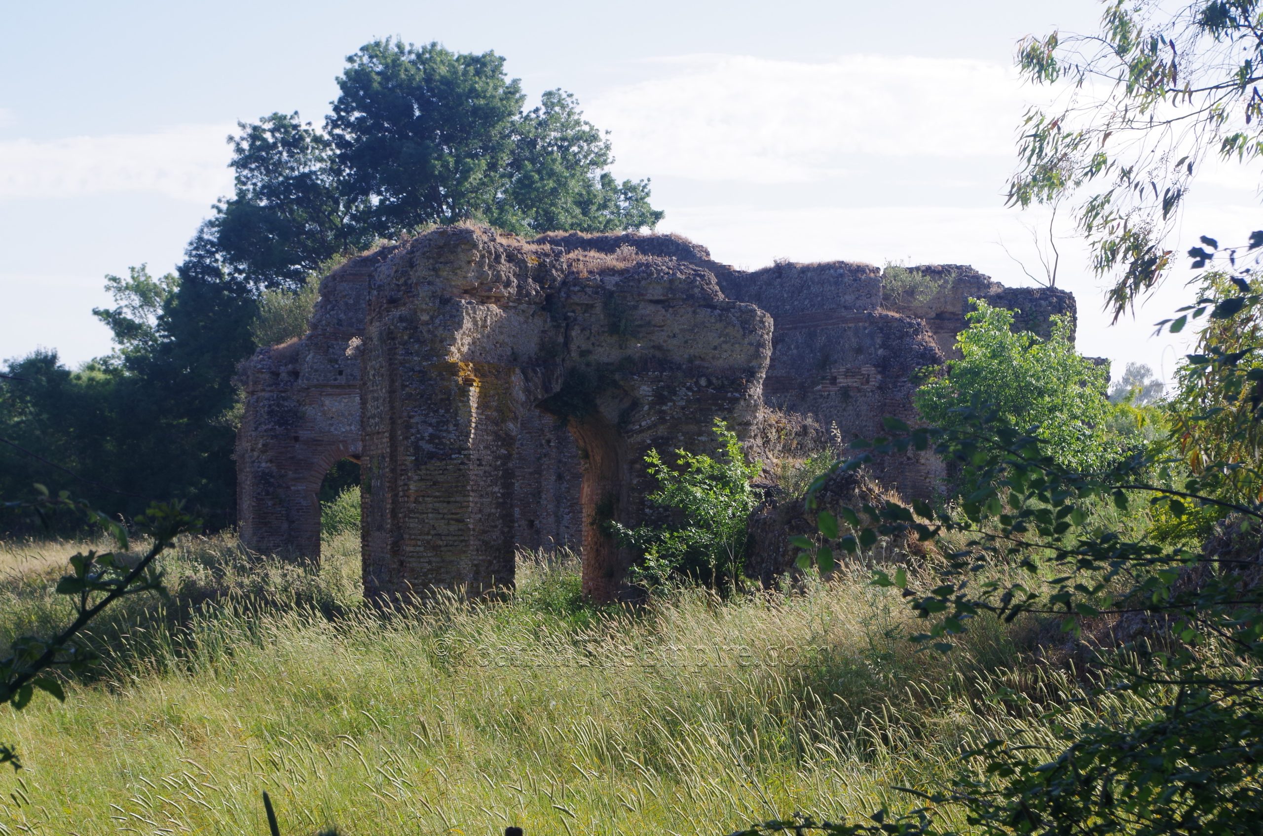
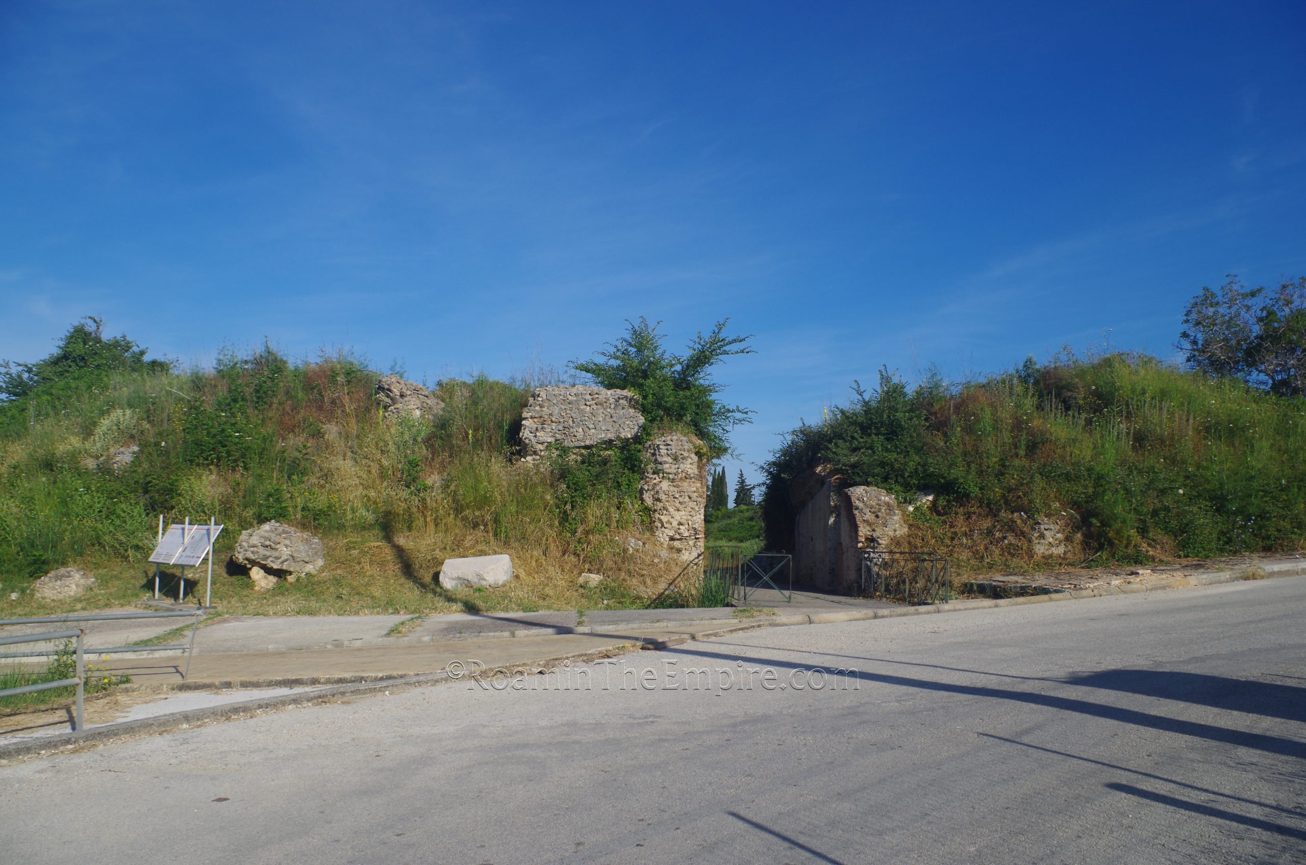
One can then follow the path that heads off west, following the route of what would have been the decumanus maximus, from the intersection for about 350 meters to a nymphaeum western gate of the original fortifications of the city. The nymphaeum is actually two separate nymphaea flanking either side of the western gate. Once again, the area is pretty heavily overgrown and not a whole lot of these structures can actually be seen. The nymphaea are preserved to a pretty significant height, so despite the overgrowth, the location of the southern nymphaeum can be seen. The northern nymphaeum is set far enough away from the road that it can’t really be seen amid the vegetation. The growth and lack of access is disappointing, because judging from pictures of when it is cleared, the nymphaea are quite impressive looking and would probably be one of the more impressive remains of the city.
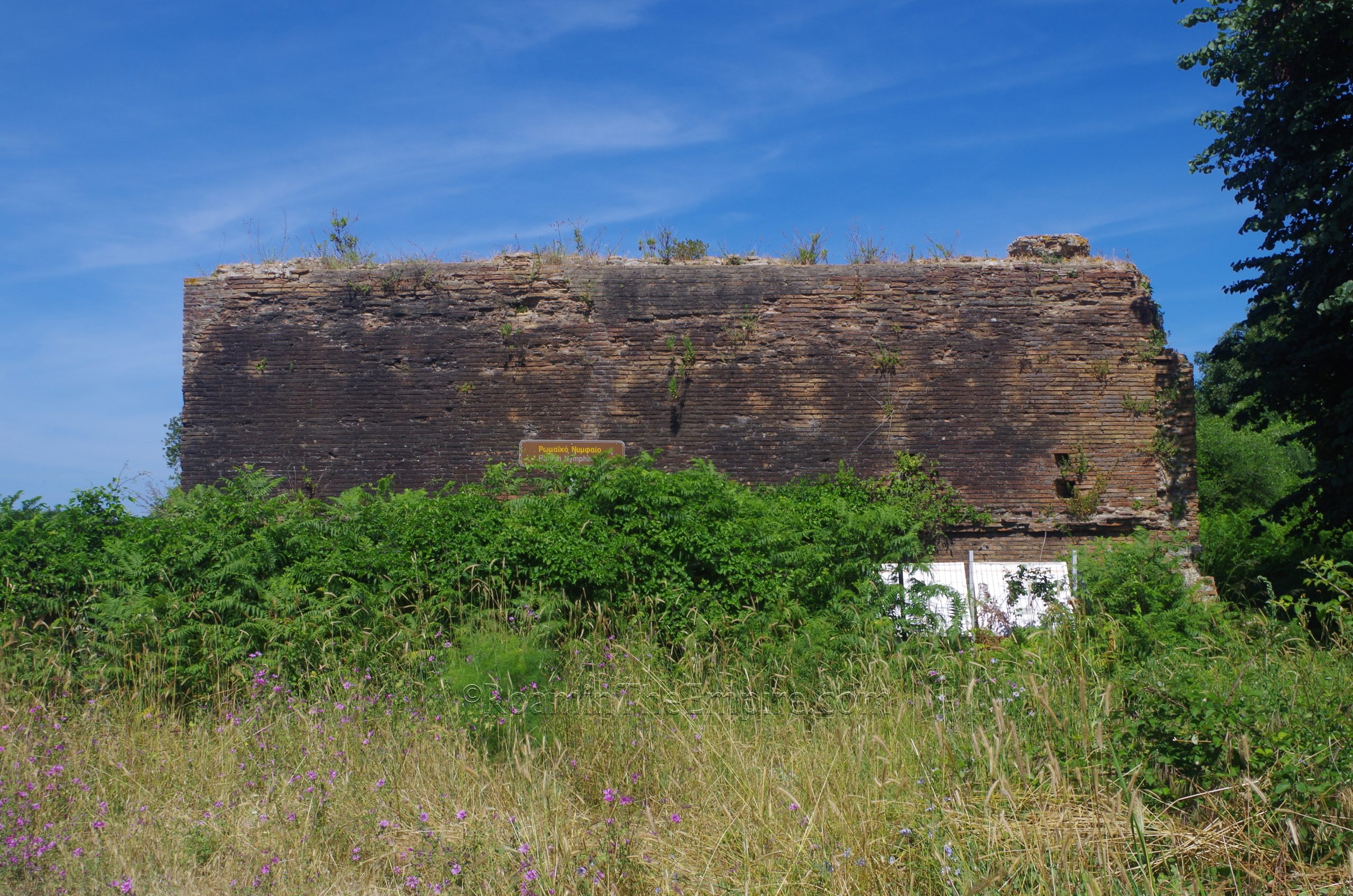
These southern nymphaeum seems to have been constructed in the first half of the 2nd century CE, while the northern nymphaeum a bit later in the early 3rd century CE. They seem to have been supplied with water directly from the aqueduct, and it is sometimes suggested that they acted as the end point for the aqueduct of Nicopolis. It is presumed that the water tower at the intersection of the decumanus maximus and cardo maximus is somehow connected to these, but no physical connection has yet been established. A section of the walls and tower are also visible on satellite imagery to the south of the southern nymphaeum, but there was too much growth to see anything from the road in that area.
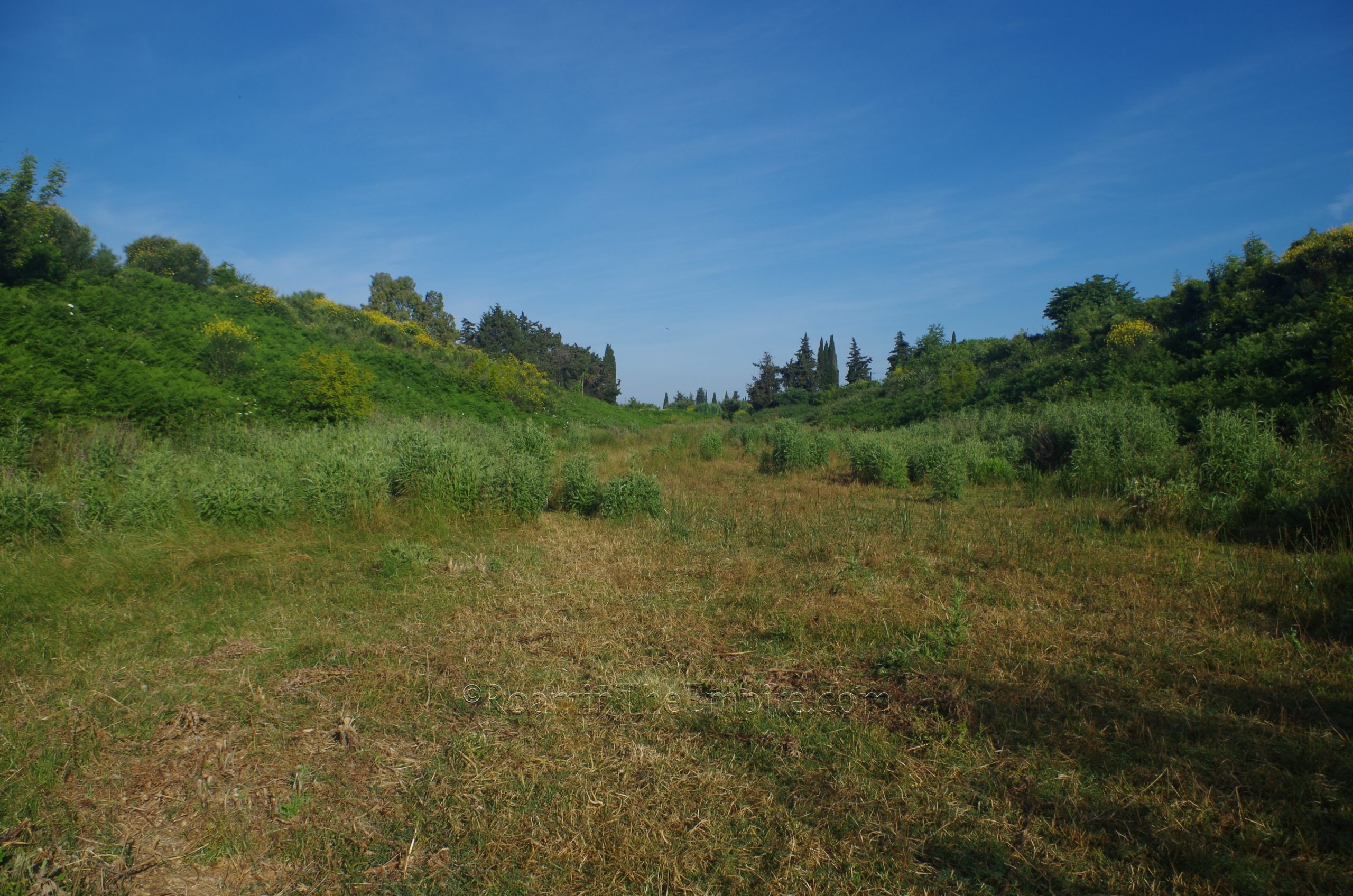
Beyond the western gate are the scant remains of the western necropolis, but these are also overgrown and are completely inaccessible due to the distance from any of the roads in the area. Another building of unknown use has been found about 560 meters west of the western gate, but it is also in a completely overgrown and inaccessible area, nothing can even be seen from the nearby road.
Back tracking to the intersection with the water tank, there is one last set of visible remains in the vicinity. Roughly 300 meters south of the water tank, along the course of the cardo maximus, are the remains of another probable bathing complex on the east side of the dirt road. As is the running theme with the structures in this area of the city, it is pretty heavily overgrown and not even really visible from the road directly adjacent. The best view is probably about another 50 meters south of the building. These baths do not seem to have been very well excavated or studied, so the identification seems to be mainly based upon the layout of the visible remains. As such, there does not seem to be any secure dating for these.
The remaining monuments of Nicopolis are a bit farther outside of this central area. Heading back to the National Road Preveza-Ioannina and continuing north from the Archaeological Site of Nicopolis, and through what would be the circuit of the 5th century CE walls (though none of the walls are really visible along this northern extent), about 700 meters north of the location of Basilica B is a paved road heading to the west. This is the only paved road heading west between the Basilica and the intersection. This road connects with the E55, the National Road Preveza-Igoumenitsa. About 200 meters down this connecting road, on the south side, are the remains of a bathing complex. The best place to park is coming from the west (heading east), just past the road sign indicating the directions for the upcoming junction.
Located in this field to the south of the road are the significant remains of the so-called North Baths. Though systematic excavation to determine the exact dating of the baths has yet to be carried out, they are believed to date to around the reign of Hadrian. There is no direct access, the area is fenced, and there is some overgrowth obscuring a lot of the structure, but there is enough visible from the street to make it worth looking at. These baths were apparently fed directly from a spur of the Nicopolis Aqueduct.
Back out to the National Road Preveza-Ioannina, another 600 meters north, outside the modern village of Nicopolis, is a complex featuring the theater and stadium of the ancient city, an area referred to by Pausanias as the proasteion. The stadium was originally constructed during the reign of Augustus as a venue for the competitions associated with the renewed Actian Games after the foundation of the city. It must have been completed in time for the inaugural competitions in September of 27 BCE. The plan of the stadium originally featured the standardized horseshoe shape, with one rounded end and one flat end. A second building phase in the late 1st or early 2nd century CE, probably during the reign of Domitian, however, the flat west end of the stadium was reconstructed into an additional rounded end. This unusual, but not unknown form of stadium is sometimes described as being a hybrid stadium-amphitheater and would have been suitable for the additional task of hosting gladiator spectacles. The northern cavea of the stadium make use of the slope of the hill to the north to support the seating.
The stadium is largely unexcavated aside from the entrance on the eastern side, near the parking lot for the stadium and the theater. This is open and unregulated and allows access to the interior of the stadium. While it may not be excavated, the form of the stadium is pretty clear. Even overgrown, the presence of the walls and cavea of the structure beneath the dirt and vegetation are apparent. That being said, there isn’t a whole lot to see inside the stadium in terms of actual remains of the building. Of course, aside from the eastern entrance, which is cleared out quite nicely and the walls of this portal are fully visible.
Just outside the eastern entrance of the stadium are the remains of two funerary monuments, though only one (the northern of the two) was really visible due to vegetation growth when I visited. Both of these monuments date to the second half of the 2nd century CE. A third mausoleum type monument is located to the north, just across the road that runs between the stadium and theater. The brickwork is pretty clear and it looks as though recent work has been done on it. The exact nature of this necropolis nestled between the stadium and theater is unclear, though it is theorized that these funerary monuments must have belonged to important individuals associated with the Actian Games.
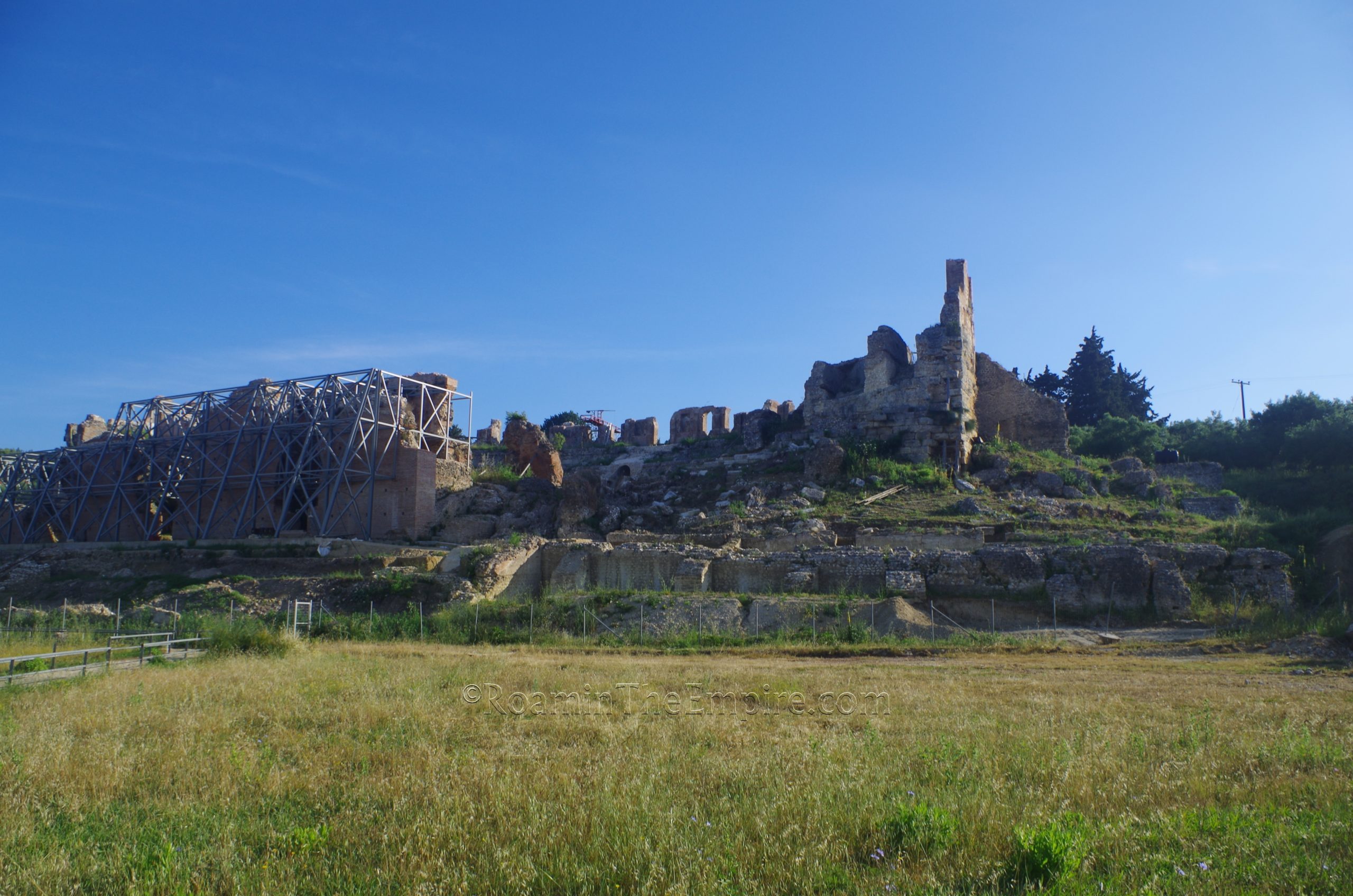
North of these funerary monuments is the theater. Like the stadium, the theater was initially constructed during the early years of Augustus’ reign in order to host events associated with the Actian Games. It was subsequently renovated during the first half of the 2nd century CE, probably under Hadrian. Interestingly, though Strabo notes the presence of the stadium at this location, he makes no mention of the theater, which must have been constructed by the time he was writing in the late 1st century BCE and early 1st century CE. Though it is mostly freestanding, it still makes some use of the slope of the hill for supporting the cavea, particularly the lower tiers.
Unfortunately the theater is in a pretty poor state of preservation, owing to the location at the bottom of the hill as well as apparently the placement of an Italian anit-aircraft emplacement inside the theater during World War II. As such, the precarious nature of the remaining structure of the theater has necessitated the closure. It does appear as though there are ongoing works to restore and secure the crumbling theater, hopefully with the goal of opening it for visitation in the future.
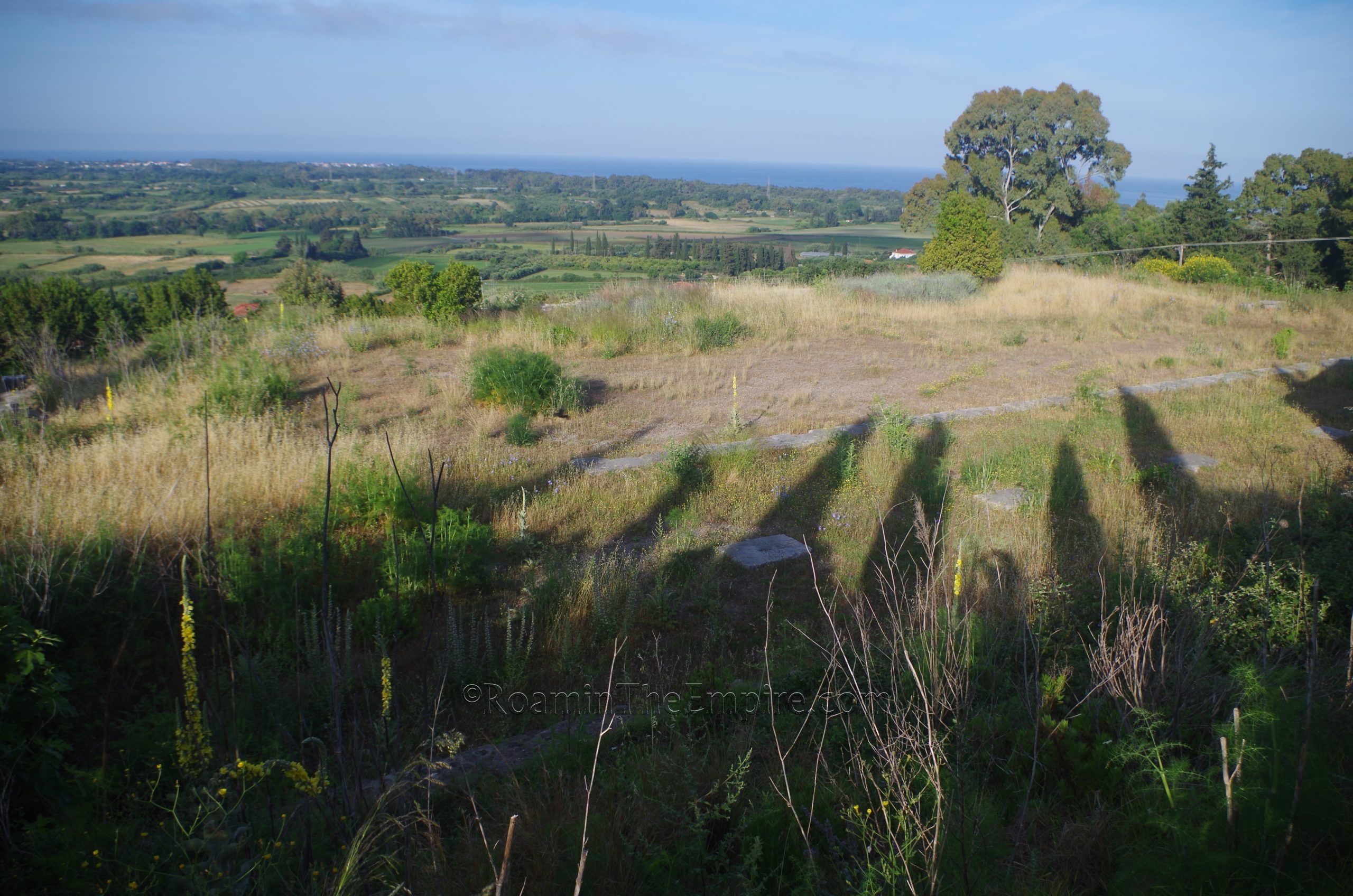
The final monument of Nicopolis sits atop the hill on whose slopes the stadium and theater are built, a hill sacred to Apollo, above the modern town of Nicopolis. At the site where Octavian had his camp leading up to the Battle of Actium in 31 BCE, he constructed a tropaeum celebrating his victory in the battle. The monument consisted of a podium which was adorned with the bronze rams taken from warships of Marcus Antonius and Cleopatra following the battle. Atop the podium was a monumental altar dedicated to Apollo and depicting scenes of triumph and imagery associated with victory. This was surrounded on three sides by a portico with the open side facing south toward Nicopolis. Following Augustus’ death, an additional shrine was built on the north side, probably dedicated to the imperial cult.
Not much remains aside from the podium and some elements associated with the imperial cult shrine. Stone on the site was heavily looted during World War II for the construction of a gun emplacement on the hill. The site is closed and is not accessible to visitors, though a street running along the ridge above the site of the monument does offer some views and the foundations of the northern portico can be seen. A road that runs along the west side of the monument and then down to a spot below does at times offer some views of the podium, though it was too overgrown to see when I visited.
The core of Nicopolis can be mostly done in a single day, though seeing and tracking down some of the lesser visited sites stretched my visit into a second day. Eliminating some of the things that aren’t very visible could probably fit everything neatly inside a single day. Most of the larger sites had helpful informational signs in English and Greek with illustrations and diagrams.


Sources:
Grant, Michael. A Guide to the Ancient World: A Dictionary of Classical Place Names. New York: Barnes & Noble Books, 1997.
Kitzinger, Ernst. “Studies on Late Antique and Early Byzantine Floor Mosaics: I. Mosaics at Nikopolis.” Dumbarton Oaks Papers. Vol. 6 (1951), pp. 81 + 83-122.
Pausanias. Hellados Periegesis, 5.23.3, 7.18.8, 10.38.4
Pavlids, Evangelos A. Nicopolis: The Domus of the Ekdikos Georgios. Athens: Ministry of Culture & Sports, 2015.
Smith, William. Dictionary of Greek and Roman Geography. Walton & Murray, 1870.
Stillwell, Richard, William L. MacDonald, and Marian Holland. McAllister. The Princeton Encyclopedia of Classical Sites. Princeton, NJ: Princeton University Press, 1976.
Strabo. Geographika, VIII.7.6.
Suetonius. Augustus, 18
Tacitus. Annals, 5.10.
Zachos, Konstantinos L. An Archaeological Guide to Nicopolis. Athens: Ministry of Culture & Sports, 2015.
Zachos, Konstantinos L and Maria Karampa. The Cemeteries of Nicopolis. Athens: Ministry of Culture & Sports, 2015.
Zachos, Konstantinos L., et al. The Odeum of Nicopolis. Athens: Ministry of Culture & Sports, 2015.