


Continued From Numantia, Hispania Tarraconensis – Part I
While I may have found the actual archaeological site of Numantia a little disappointing, one thing that was not disappointing about my Numantia experience was, located about 7 kilometers to the northeast, about a kilometer northeast of the town of Reniblas. Located there are the vestiges of 5 Roman military camps dating to the period of the siege of the city and possibly later. I won’t get too much into the weeds with these camp remains (despite my inclination to do so), but I had pretty much the opposite experience as I did with the actual city; I spent way more time with the camps than I figured I’d spent. Along the SO-P-1001 road leading north out of Reniblas, about 1.2 kilometers outside of town, is a large parking lot on the east side of the road. This is the most accessible start point of the Ruta Campamentos Escipión; the Trail of the Camps of Scipio. There is another parking area about 1.6 kilometers to the east, but access to this is a long dirt road (Camino de Canos). It’s part of a larger loop that goes through Reinblas, but the primary visible remains of the camp are along this trail between the SO-P-1001 and Camino de Canos, with a trail length of about 2 kilometers. This is a hiking area, so there is no closure or admission. One can access it at pretty much any time.
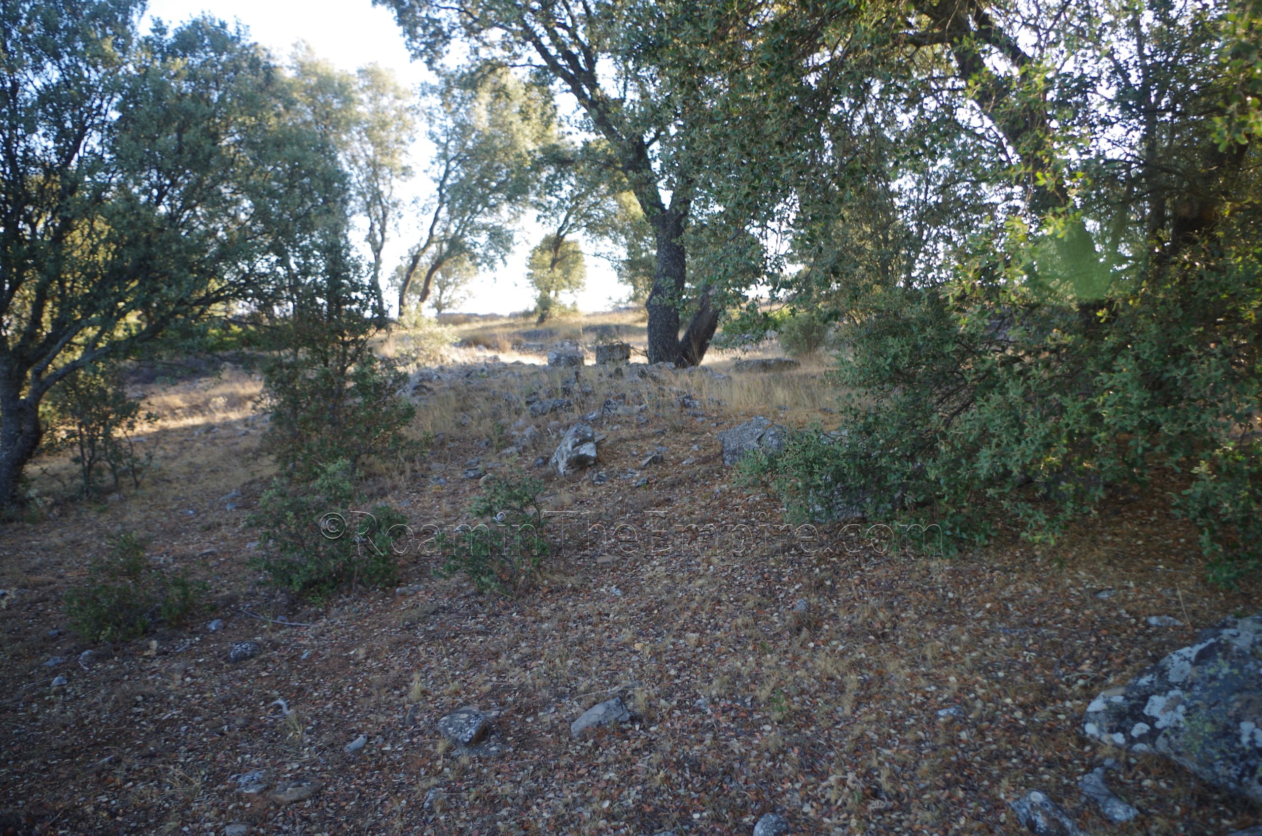
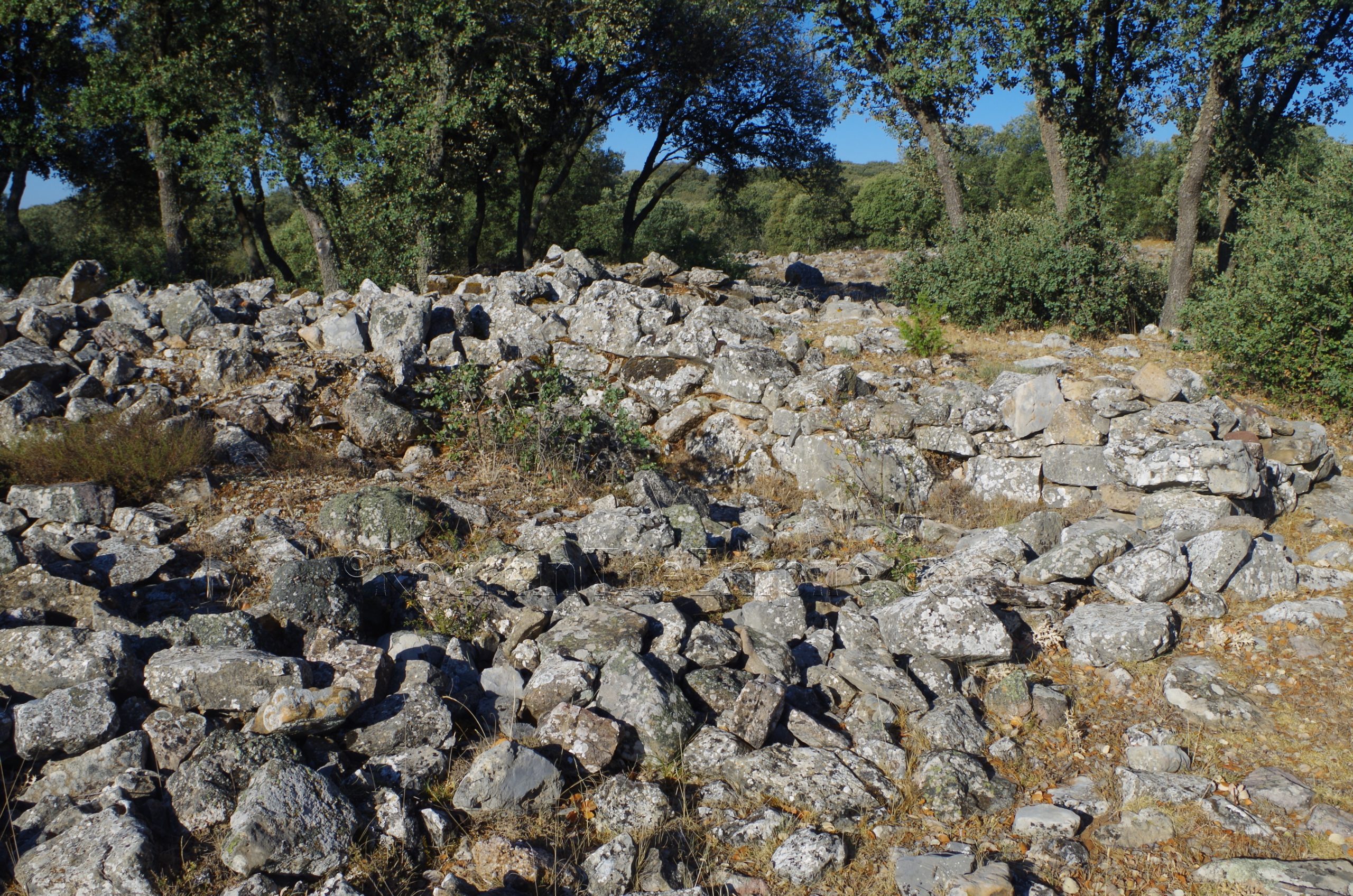
There are a series of 5 identified camps located in this area (possibly 7, though the final two are often regarded as annexes of one of the others). Their number correspond to the relative dating compared to each other, with Lager I (to use the terminology of the German excavators) being the earliest and Lager V being the latest. While they were excavated extensively in the first half of the 20th century, and many internal components of the camps were revealed, at this point, much of what remains visible and identifiable for the majority of the camps are the circuit fortifications encircling the camp. And even in that case, there is sometimes only the faintest trace remaining. For instance, the first camp encountered along the trail coming from the west is the western side of Camp IV. While that camp has some robust walls in other areas (the northern wall and the northern half of the western wall are some of the most visible walls of any of the camps on satellite imagery), the section that skirts the interpretive trail is not particularly easy to discern. Especially not knowing exactly what you’re looking for at the start. I was able to see the wall (running north to south), but it could be easy to overlook. Lager IV’s dating is not completely clear, but could possibly date to either the campaign of Metellus in 143 BCE, the campaign/siege of Numantia by Pompieus in 141 BCE, the campaign of Macinus in 137 BCE, or even the siege of Scipio in 134 BCE.
A little way past the wall of Lager IV are the even more faint western walls of Lager II to the north side of the trail. I had a hard time even seeing these, and didn’t really catch them completely until I came back through on my way out, and even then I’m not 100% sure I found them. Fortunately there are informational signs (in Spanish) marking some of the locations where visible remains of the camps are present, giving you a starting place to try and find them, though some of the signs are obliterated by the sun. Lager II is perhaps the most poorly conserved of the camps, with only this northwestern corner of the exterior walls being present and the remainder of the camp being mostly obliterated by later camps. Lager II’s dating is also not very clear, due partly to the poor state of preservation and lack of securely datable material. It could possibly be as early as Cato’s campaign of 195 BCE or as late as the campaign of Nobilior in 153 BCE, as one possibly usage is that Lager II is actually an annex associated with Lager III.
The next camp encountered is Lager I, which like Lager II has its western wall intersect with the trail from the north (the wall does not extend to the south of the trail). A fair bit more of this camp is intact, though. This was another one that was pretty hard to clearly see and took a couple passes before it became more clearly evident where the actual wall was. While the signs give you a general area to look at, they don’t point you to exactly where it is. In theory the wall extends north about another 150 meters or so before turning toward the east. As the designation suggests, Lager I is the earliest of the camps and is theorized to date to Cato the Elder’s campaigns during his consulship in 195 BCE.
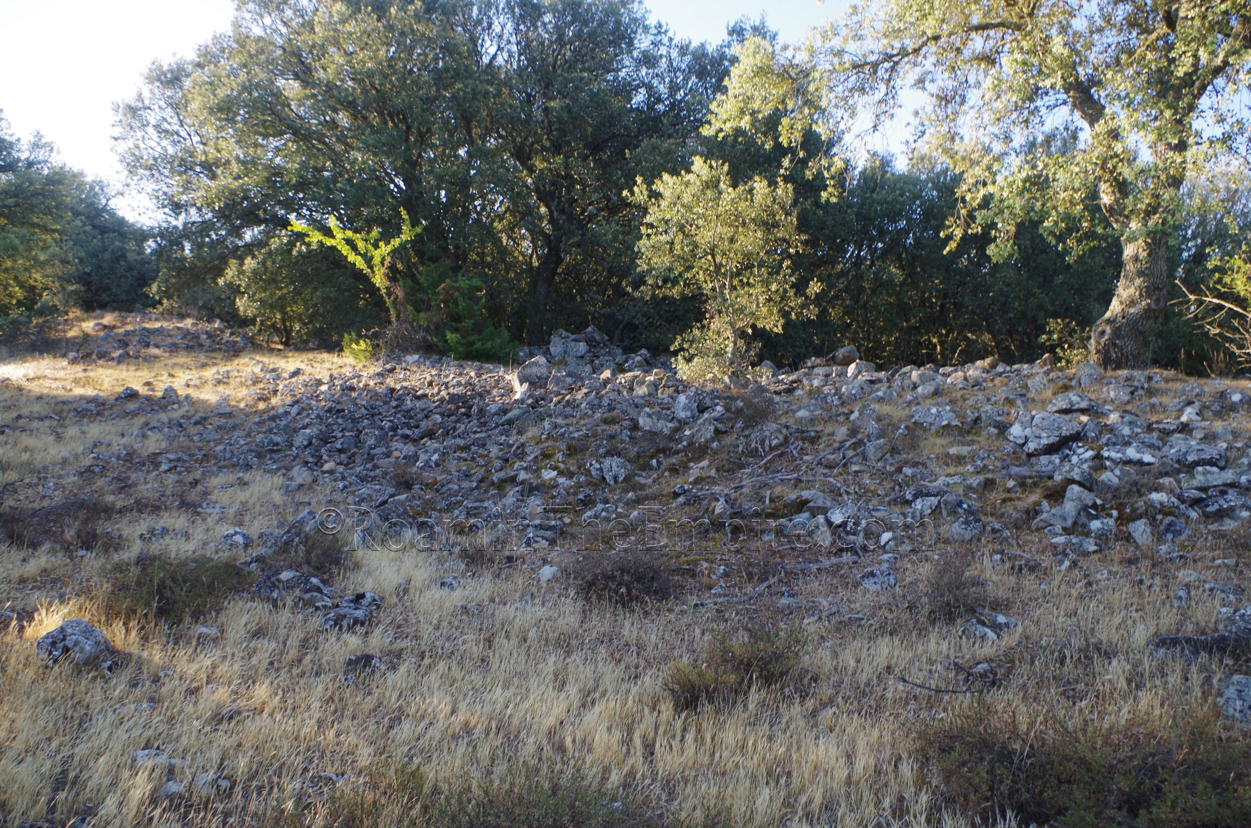
Another 100 meters or so farther along the trail, the western wall of Lager III intersects with the trail. This was the first camp wall that I thought was very clearly defined and visible. The wall is fairly robust and is part of a clear rise with a concentration of rock that makes it a lot more obvious than the previous camps encountered along the trail. This wall extends on both the north and south sides of the trail. It’s theoretically possible to go off trail and investigate the wall better here; the underbrush here is not thick in most places. I didn’t do a whole lot of this except where I could clearly follow walls, as I didn’t have very good info on the ground at the time I was visiting; the camps were honestly not something I expected to be so intriguing. Lager III likely dates to the campaign of Nobilior in 154-153 BCE.
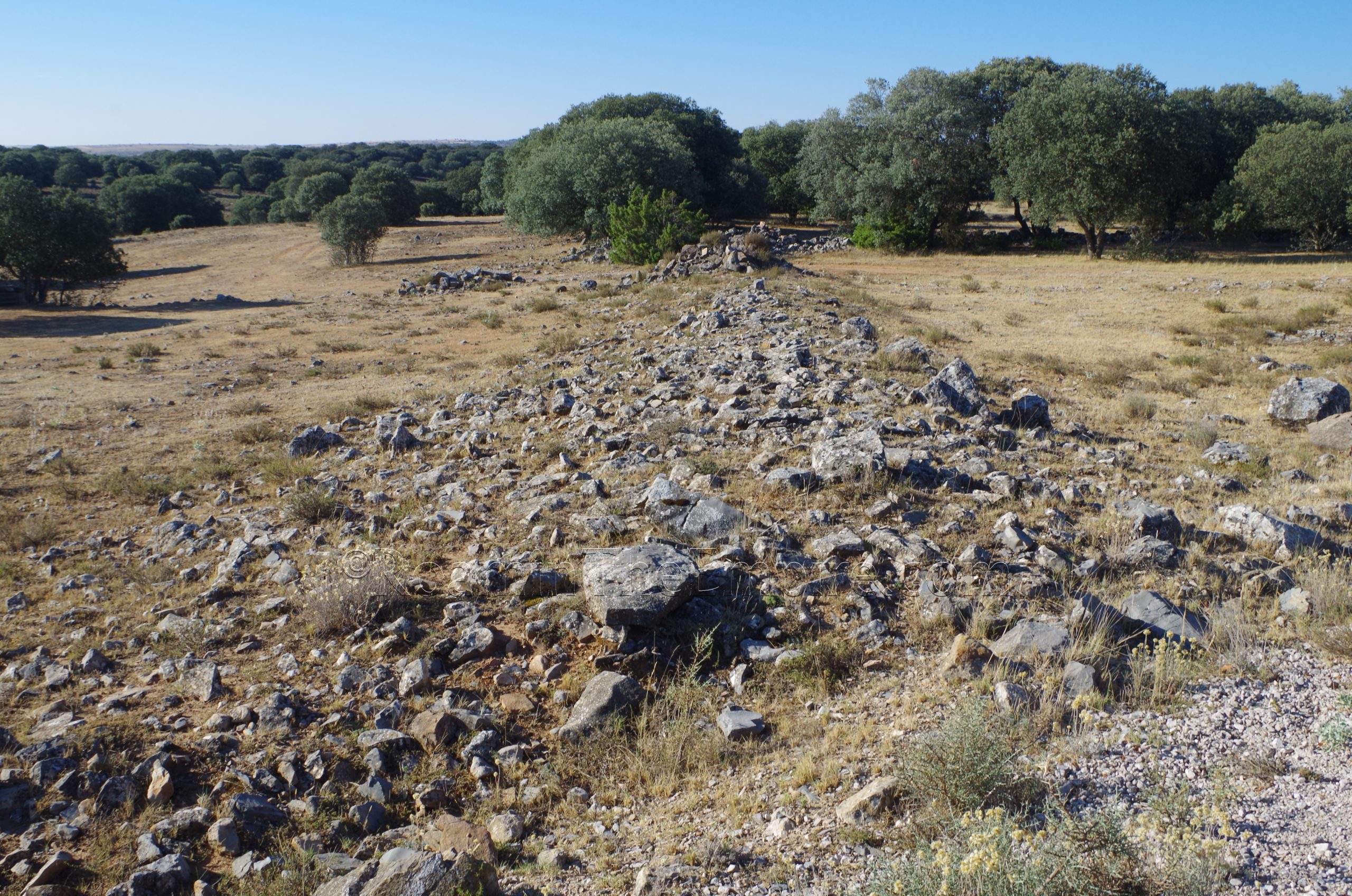
Heading east along the trail, the trail takes kind of a hook north and then back to the east. At this point, two important things are visible. Near the trail are some wall structures that are associated with internal buildings of Lager III. It is also at this point that the very robust walls of Lager V are visible running perpendicular to the trail about 20 meters to the south (from where the trail dips to the south before hooking north and then back to the east). Lager V’s walls are the most robust of any of the camps, probably owing to the fact that it was the latest of the camps and was not damaged or cannibalized by later camps. Lager V probably dates to the time of Scipio’s siege of Numantia in 134-133 BCE, though there is some thought it could be significantly later, perhaps dating to the campaigns of the Sertorian War in 75-74 BCE (some of the information on site seems to suggest this).
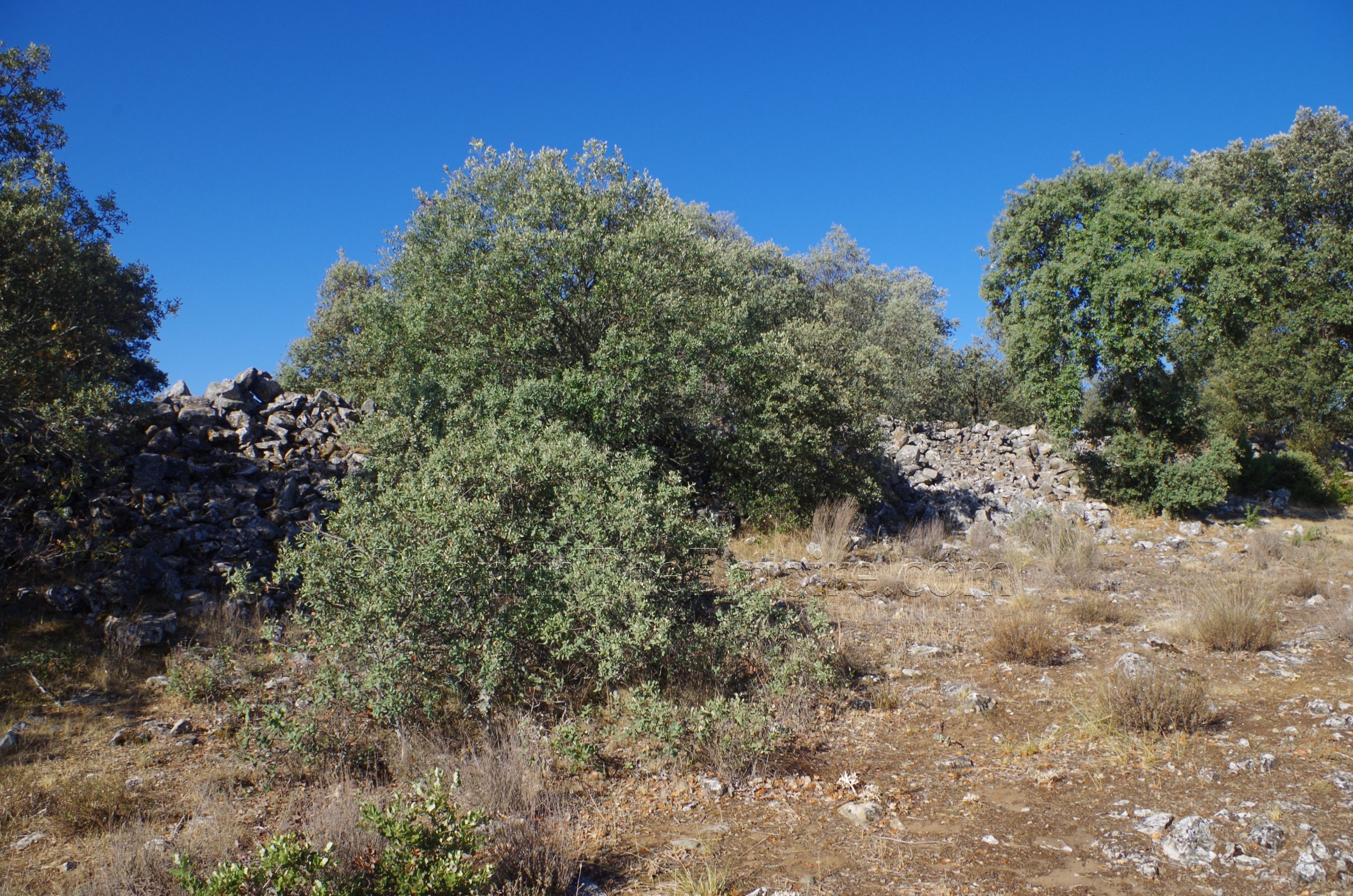
Again, the wall can largely be followed independent of the trail, and continues on about 200 meters east from the point at which it is closest to the trail. This terminates in the northeastern corner of the camp. There’s a particularly robust set of walls at this corner in an area known as the praetorium, the headquarters of the commander. Whether or not this is actually the praetorium of Lager V is unclear. The exterior walls of Lager V then continue off to the south from here. From this point on, and shortly before it, there are a number of what seem to be more modern walls that confuse things a little bit, but the more modern walls seem to be fairly clearly stacked, un-mortared walls that don’t have enough support to be the age of the camps.
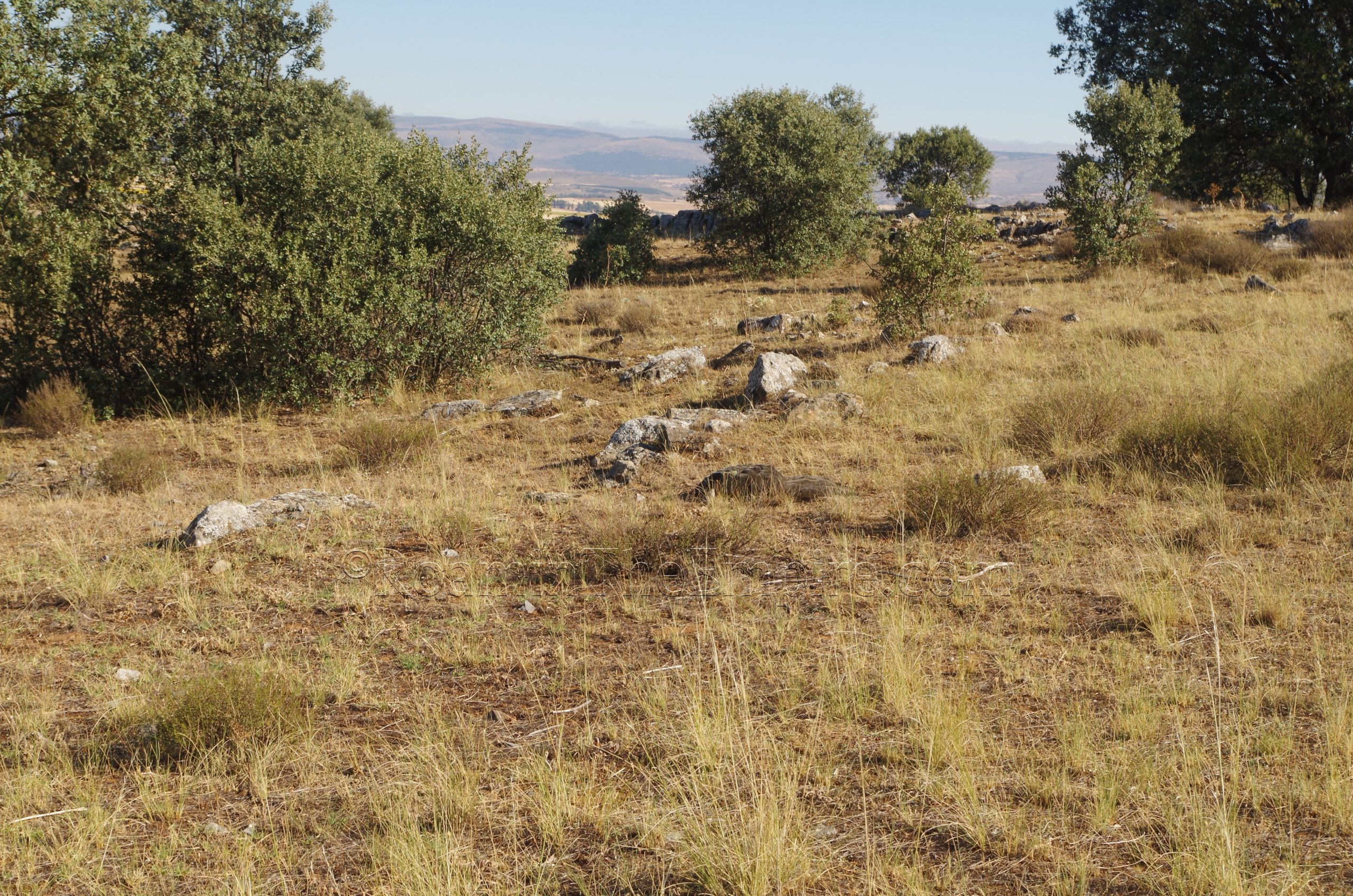
About 100 meters past the praetorium, is the eastern wall of Lager IV, which intersects the trail and continues both north and south. About 30 meters north of the trail, perpendicular and extending westward from the external wall of Lager IV, is what appears to be the wall of an internal structure of the camp. This is clearly visible for about 40 meters, starting just to the west of the external wall. About 130 meters on from the external wall of Lager IV are some internal structure walls of Lager III along the south side of the trail. Again, there’s definitely some more modern walls that seem to have been created using the material of the ancient camps. There are parts of the ancient camp here, though, particularly noticeable by the presence of a sign (though the sign has been rendered completely unreadable by sun damage). The trail follows along the path of what would have been the decumanus maximus of Lager III in this area. Various points of internal walls are visible continuing on for about 50 meters.
The trail eventually crooks to the south again, but if you continue on straight (going off the trail is not difficult here) instead of following the trail, you reach the porta decumana of Lager III about 15 meters east of the trail. This is perhaps the most distinct feature of all the camps, as there are some fairly evident rectilinear walls forming the basis of a structure. The exterior camp walls extend both north and south from this point pretty clearly, as they’re fairly robust walls. This main exterior wall, however, does not follow the trail, it again intersects with the trail, which runs through them a short distance to the south of the porta decumana. Clear evidence of a wall does run alongside the trail as it starts to head to the south from here, though. This is what is sometimes referred to as the wall of Lager VI, but is likely just an annex of Lager III, perhaps for an auxiliary unit. This wall runs more or less parallel with the trail until the eastern parking lot. Again, the trail loops back around toward Renieblas along the south side of Lager III and through Lager V, but there is apparently not much to see, and it adds a very significant amount of time and distance as opposed to just backtracking; the total loop is nearly 5.75 kilometers, meaning finishing the loop is about twice as long as going back the way you came.
The trail is relatively easy, there’s a little bit of elevation gain. A sign at the western parking lot actually spells out the logistics of the trail pretty well. It’s all in Spanish, but the illustrations get the point across if you don’t read the language. It outlines where the signs are and where the camp walls are, but, it can be hard to orient on the ground as I found the mobile signal to be a little weak along the trail in spots. Overall, again, I found the tour through the camps to be a lot more interesting than the Numantia archaeological site, so it’s definitely worth a couple hours to do the walk.
Back in Renieblas, near the Iglesia de Nuestra Señora de la Cruz on the northwest side of town, are the remains of what are purported to be a Roman bridge and milestone. The milestone is devoid of any inscription, but does fit the general form. It doesn’t seem unlikely. The bridge is a bit more questionable. If it does have Roman origins, it seems to be more medieval in form. I couldn’t find any reliable information on any dating for the bridge or really any of the structures. There’s also a spring here that looks like it could have some possibly ancient blocks associated with it.
The final stop for Numantia is back in Soria; the Museo Numantino, located at Paseo del Espolón 8. The museum is open in the summer (July through September) from Tuesday through Saturday from 10:00 to 14:00 and 16:00 to 20:00 and on Sundays from 10:00 to 14:00. It is closed on Monday. The rest of the year it is open Tuesday to Saturday from 10:00 to 14:00 and 16:00 to 19:00 and is closed on Sunday and Monday. Admission is 1 Euro.
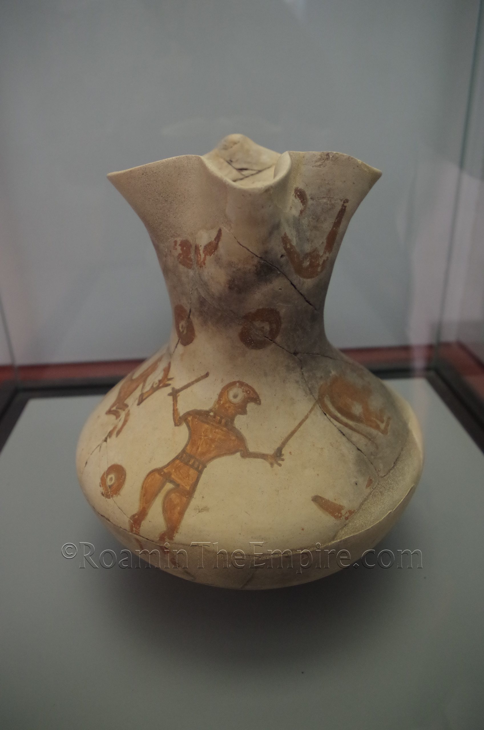
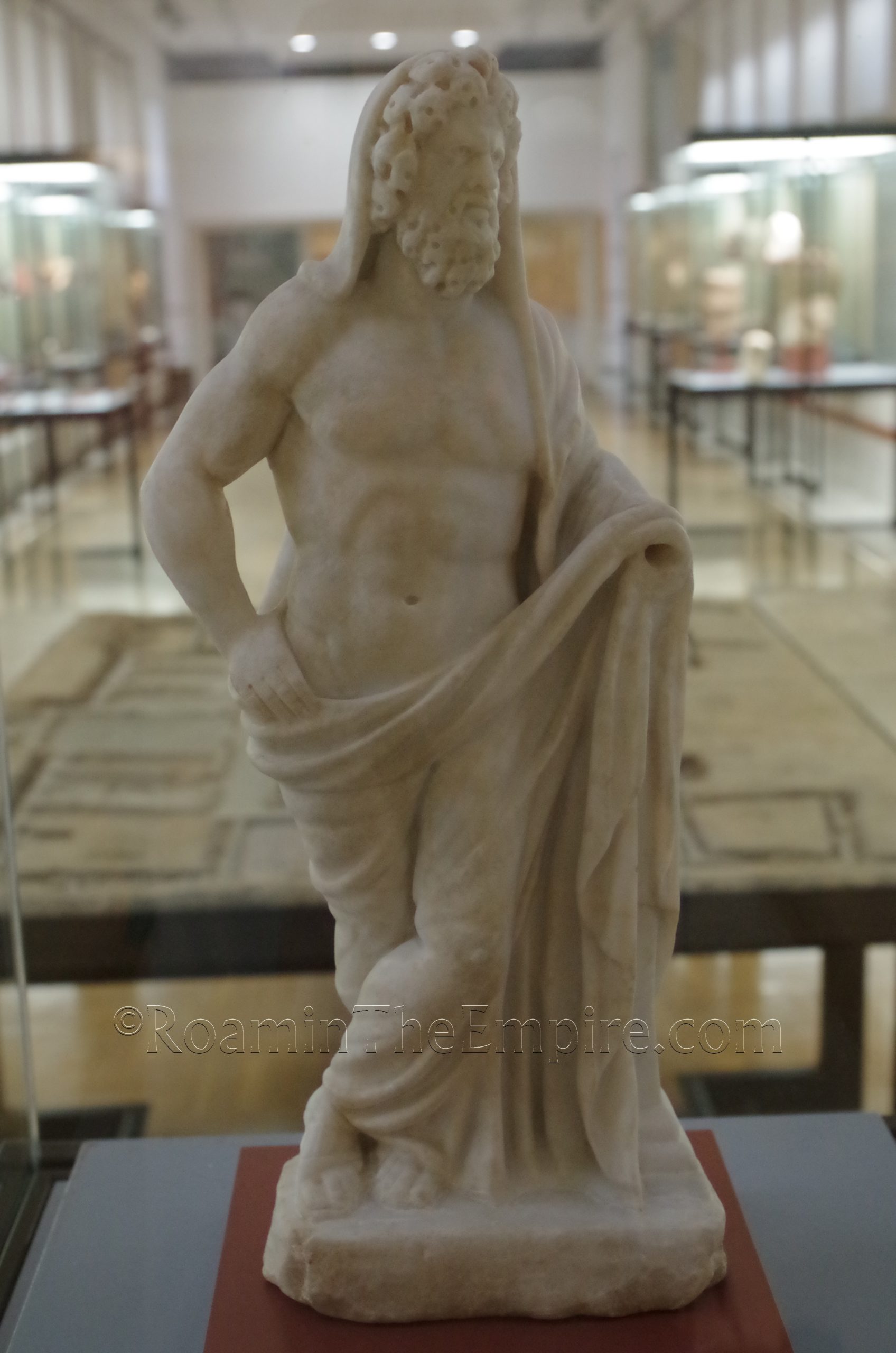
The museum is not terribly large, but it is a decent size. It leans pretty heavily into the pre-Roman material culture from Numantia. This isn’t surprising given the sort of mythic status Numantia has with regard to the resistance to Rome; sort of in the same vein as Alesia. There’s a pretty large collection of ceramics and some small finds from this period. There was also an interesting collection of ceramics and bronze pieces from the 2nd and 1st centuries BCE, the time that would have been the transitional period after Roman hegemony had come to the area. The final area of the museum has a small collection of objects from the Roman imperial period, including a few inscriptions and a small statuette of Saturn. A couple of milestones are on display outside in the courtyard at the entrance of the museum. But again, the emphasis of the museum really is on the Celtiberian and transitional periods more than anything.
It took me pretty much an hour on the dot to go through the museum. All the information in the museum, the museum cards and the larger informational boards, are solely in Spanish with no translations to other languages. There are some nice bronze pieces and interesting ceramics, it’s certainly worth the stop, particularly at the 1 Euro price point. The 3rd-2nd century BCE horse shaped fibula that adorns some of the promotional material for Numantia is located here.
Overall, the site, camps, and museum can all be done pretty easily in one day. I even had time to do a couple of sites an hour or so away in the afternoon after I did Numantia, and still had time to come back and do the museum in the evening. It would have been interesting to spend more than the couple hours at the camps, though. Had I been armed with some of the knowledge about the layout and location that I have now, I probably would have been happy to spend some more time wandering around there.


.")


Sources:
Appian. The Spanish Wars, 76-98, 101.
Dobson, Michael. The Army of the Roman Republic: The Second Century BC, Polybius and the Camps at Numantia, Spain. Oxford: Oxbow Books, 2008.
Grant, Michael. A Guide to the Ancient World: A Dictionary of Classical Place Names. New York: Barnes & Noble Books, 1997.
Pliny the Elder. Historia Naturalis, 3.4, 33.50.
Smith, William. Dictionary of Greek and Roman Geography. Walton & Murray, 1870.
Stillwell, Richard, William L. MacDonald, and Marian Holland. McAllister. The Princeton Encyclopedia of Classical Sites. Princeton, NJ: Princeton U Press, 1976.