


Continued From Sanctuary of Asclepius Part II
East of the Tholos and south of the west end of the Enkoimeterion stands the remains of the temple to Asclepius, one of the central and most important structures of the sanctuary. The temple was constructed around 375 BCE, during the height of the building program at the sanctuary. It was, according to surviving building records, the work of an architect named Theodotus. This particular temple seems to have stood until the late 4th or early 5th century CE, when it was destroyed by a fire or earthquake.
Not much remains on the site of the temple other than the very foundations. And even some of that is reconstruction. A few architectural elements have been found from the temple and are kept in the on-site museum. The chryselephantine cult statue of Asclepius, of which nothing remains, was reputed to have been created by the sculptor Thrasymedes. About 25 meters to the east of the temple, essentially lined up with the east side of Building E, are the remains of the altar to Asclepius. The altar too dates to the 4th century BCE and was originally about 15 meters in length. The presence of the structures of Building E necessitated the construction of the altar slightly askew and not evenly in front of the temple. Remnants of a paved path between the altar and the temple, constructed during the Roman period, are visible.
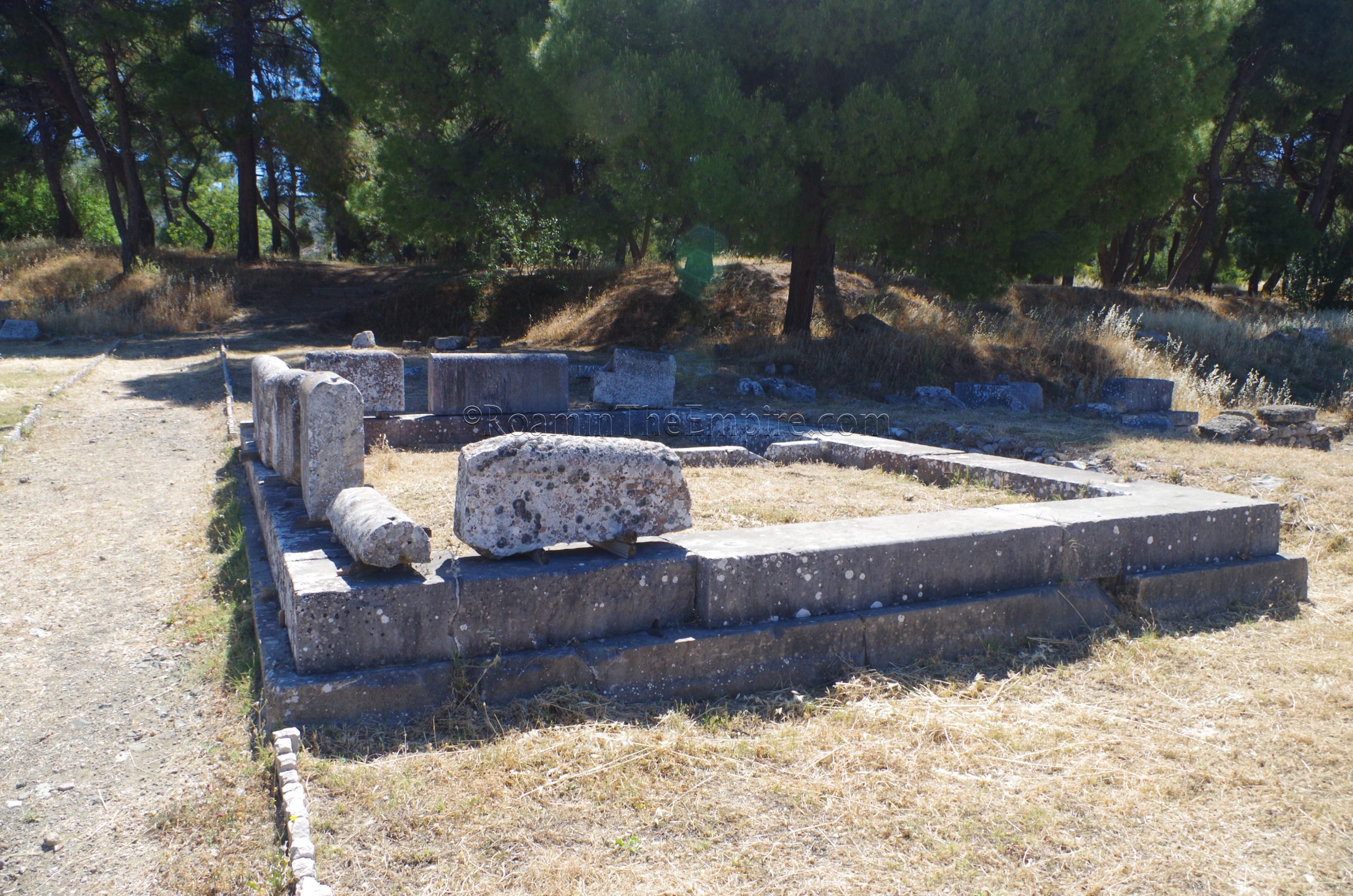
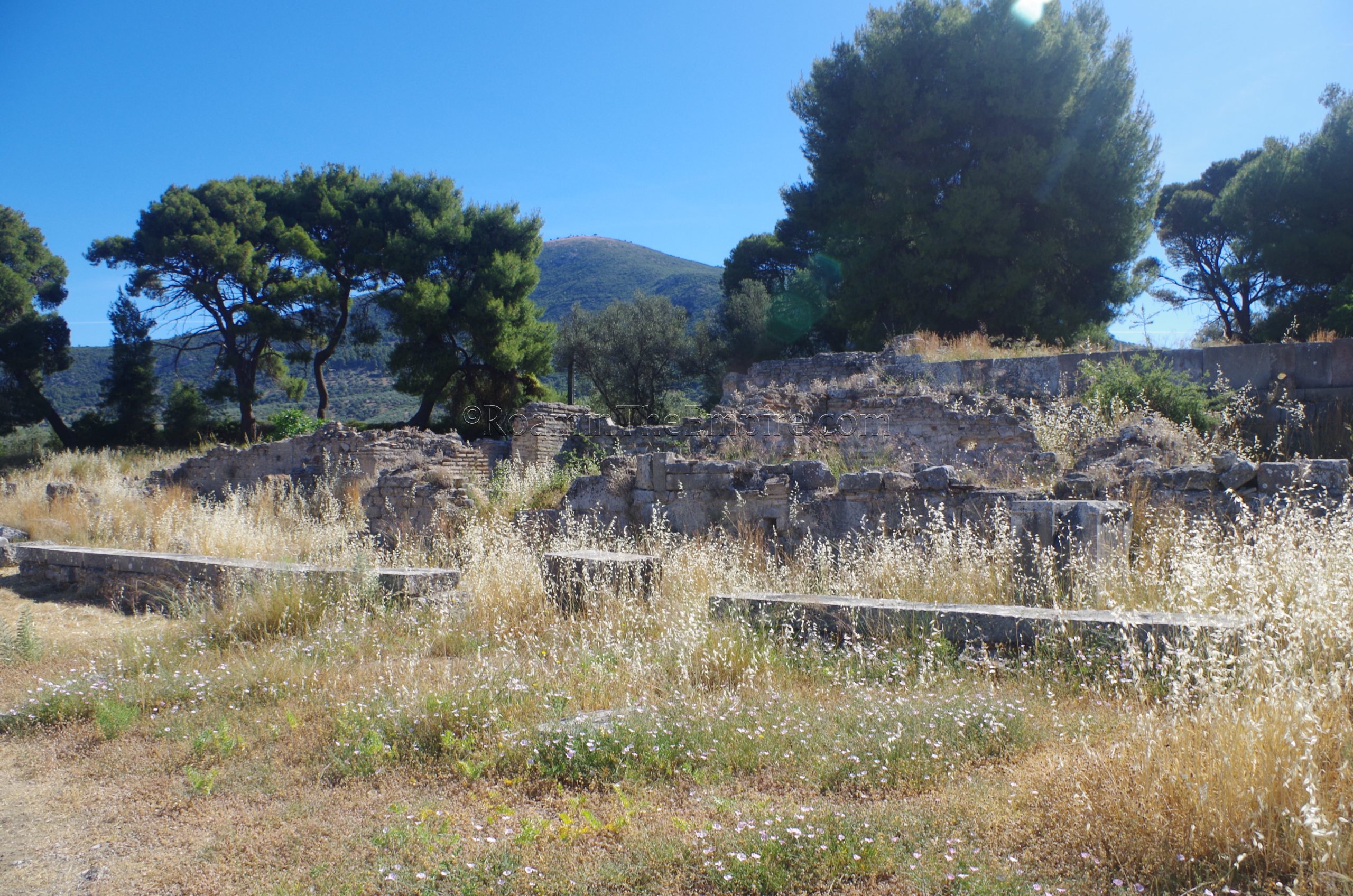
Southeast of the altar and east of Building E are a pair of smaller rectangular constructions. The northernmost of these appears to be the foundations of a building dated to the late antique. Usage of the building is presently uncertain. The southernmost of the two (directly adjacent to the Sanctuary of the Egyptian Gods) seems to be a bipartite sanctuary of some sort. It has been suggested that it was perhaps related to chthonic rites. The building dates to the 4th century BCE.
Continuing to the east and then heading northward along the worn pathway are some scant remains of the southeastern section of a perimetric stoa that was built in the 4th century CE, though not much visible remains. That would have formed the eastern edge of the sacred square, a mostly open area resembling a forum type space. This then leads past some fairly significant remains that are set a little farther eastward. This is identified as a Roman era house. Because some areas were still overgrown, it was actually easier to get to the house by taking the path that leads east past the bipartite sanctuary until it essentially intersects with the eastern fence of the sanctuary site, and then walking along the fence to the house, rather than trying to access from the west. The remains of the house were fairly overgrown, and it’s pretty clearly not intended to really be a focus of the visitor path.
Continuing north along the line of the perimetric stoa, the next features of note are the Sacred and Doric fountains. Both were originally constructed in the 3rd century BCE. The Doric Fountain, the larger of the two adjacent fountains, is covered by the roofing, presumably to preserve the plaster elements of the basins that still remain. This does, however, obscure some of the details of the construction. The fountain faced toward the south, so the basin on that side was the collecting basin that would have been accessible. Between that basin and another storage basin on the north side, a water channel can be observed. The Sacred Fountain, of which the basis for the name is unknown, juts out perpendicularly to the west with relation to the Doric Fountain. It was heavily renovated in the Roman period. When I visited, this fountain was pretty heavily obscured by overgrowth. Both were fed by an aqueduct that ran from Mount Kynortion and is visible to the west, behind the Doric Fountain.
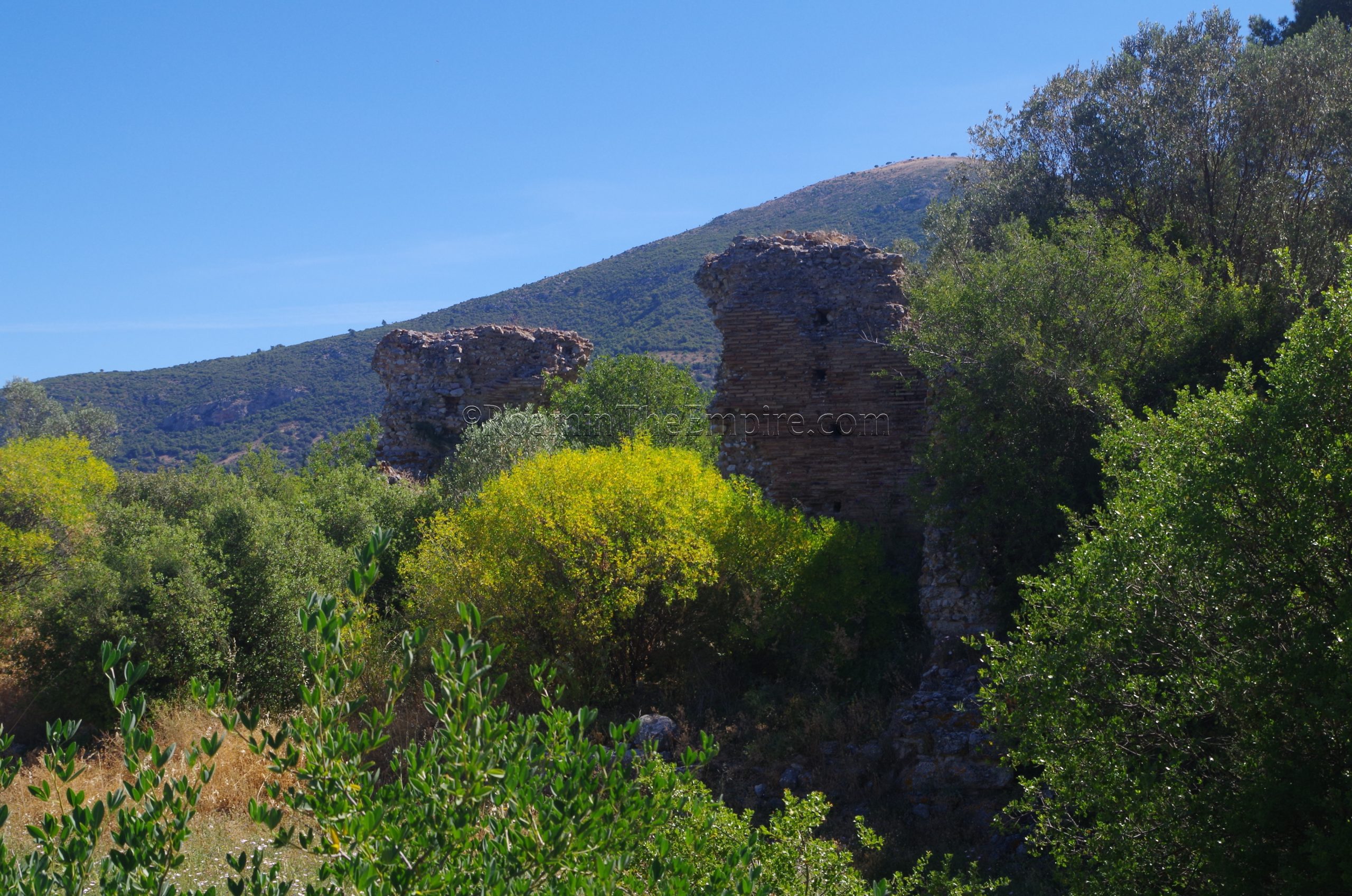
Behind these fountains, roughly to the northeast, is the Epidoteion. It’s not really easily visible from the level of the fountains, as it is a higher level. It is best scene from the same route used to visit the Roman house which runs along the fencing to the east in this area. The Epidoteion was dedicated to the Epidotes, the gods of benefit and bounty, or the helper gods. The epithet is used to refer to a number of gods, but perhaps in this case was related to Hypnos. The building was originally constructed in the 4th or 3rd century BCE, and was then extensively renovated in the 2nd century CE as part of the building program of Antoninus, as attributed by Pausanius’ description of the Sanctuary of Asclepius. It seems to have been destroyed in the middle of the 4th century CE.
What remains now primarily dates to the Roman period. The presence of roofing tiles bearing Antoninus’ name as well as fitting the description of the Epidoteion by Pausanius has led to the identification of the building as the Epidoteion. It may have functioned as a space in which preliminary sacrifices were carried out during healing rituals. The presence of water features and the proximity to the fountains and aqueduct channel suggests that it may also have been using in cleansing ceremonies. It was a bit overgrown, again kind of being off the main path of visitation, but the semicircular pedestal that displayed statues of the gods is still pretty clearly visible.
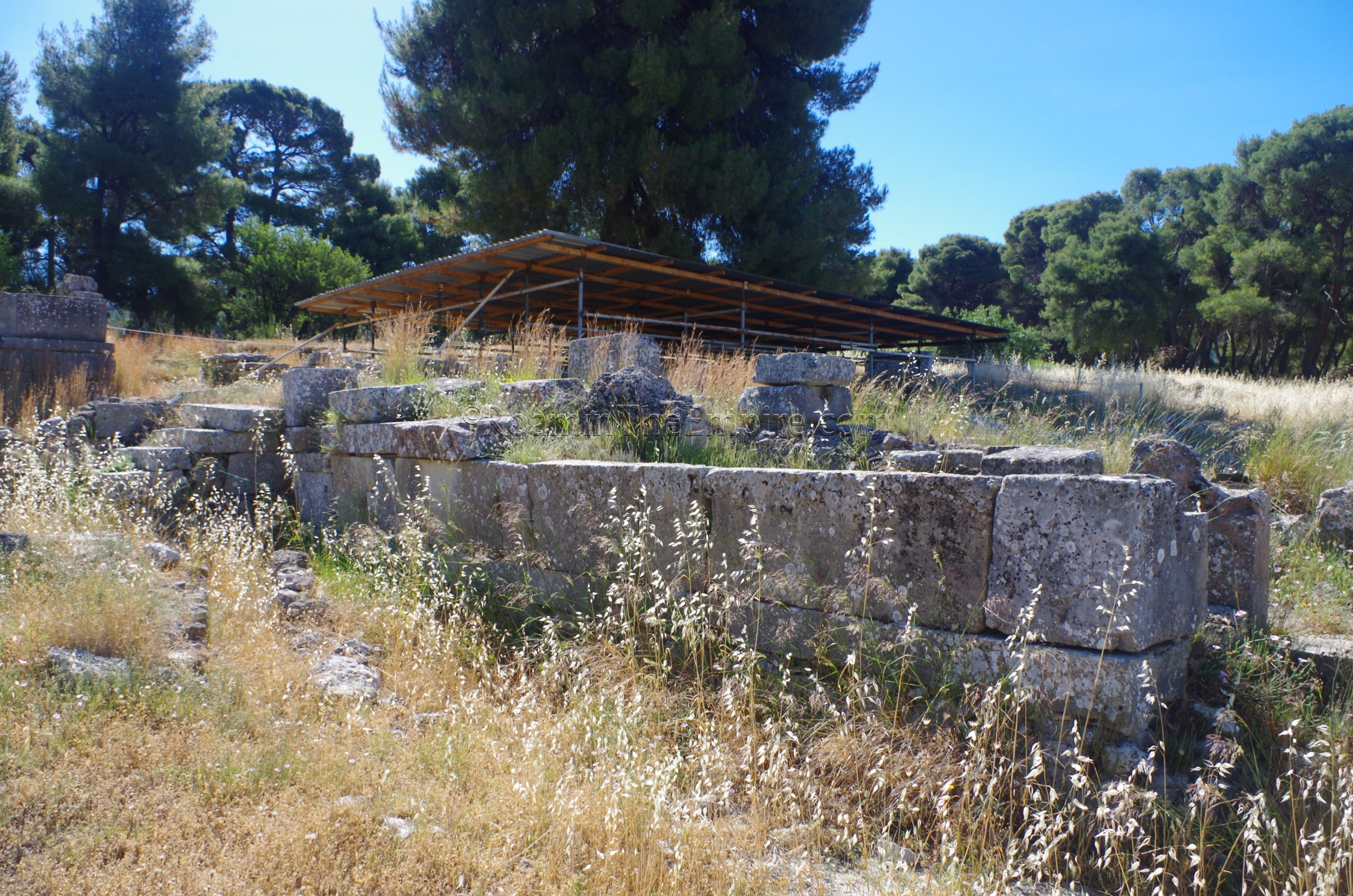
Abutting the north wall of the Epidoteion is the Akoia, a bathing complex whose name is apparently a variation on the Latin aquae. Constructed in the 2nd century CE the baths were the subject of a number of repairs and renovations over the next two centuries before finally ceasing use in the 4th century CE. These baths covered a space of around 650 square meters. Like the fountains not far away, the baths were fed via the aqueduct from Mount Kynortion. The most easily accessible part of the baths is the large hall that spans most of the east-west axis of the baths and functioned as the frigidarium. Some mosaic pavement is visible scattered around this area as well as the cold water pool located at the eastern end.
Along the north side of the frigidarium are the tepidarium rooms. One of these connects to the frigidarium and it’s really the only easily visible part of the tepidarium rooms from the frigidarium. Beyond those are the caldarium rooms, which are accessible via the linking tepidarium room, but were largely overgrown, though could still be visited. A set of latrines is located outside the western walls of the caldarium and tepidarium, but they aren’t preserved very well and were fairly overgrown. Another view of the baths can be had by taking the same eastern path used to access the Roman house and Epidoteion.
Adjacent to the baths, forming the sort of northern extent of the sacred square, is the Stoa of Kotys. Originally constructed in the 3rd century BCE, the stoa, believed to be the one mentioned by Pausanias, was probably named after the original donor who had it constructed. Pausanias also notes that the repair of the Stoa of Kotys was among the projects undertaken by Antoninus. A few elements of the foundations of the stoa and some column bases can be seen, but the structure itself is not very well preserved. The 4th century CE perimetric stoa overlaid the western part of the Stoa of Kotys.
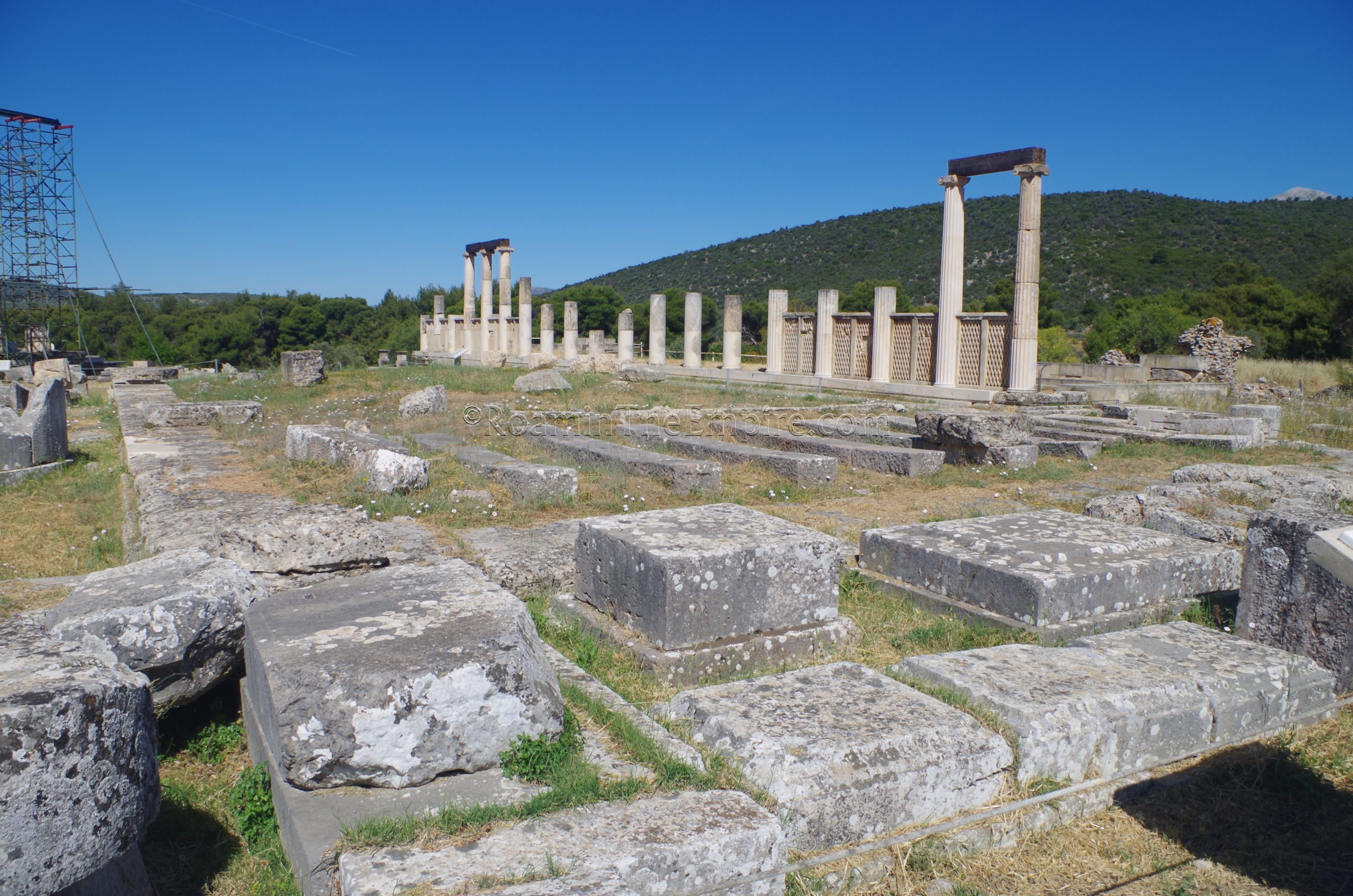
In the northwest corner of the sacred square, though not very visible due to overgrowth, is the Temple of Themis, which was constructed in the 4th century BCE. Between the Temple of Themis and the Enkoimeterion, along the west side of the sacred square, the dominant feature is the remains of a library dating to the 2nd century CE. Like many of the other less high profile features at the sanctuary, the library was largely overgrown, and so only a few of the elements that were preserved to higher levels could be seen. Like many sites in Greece and Italy, it’s possible that the growth is cut down later in the summer during the busier tourist season.
Just south of the library, and abutting the Enkoimeterion, are the Baths of Asclepius. Identified as the baths mentioned specifically by Pausanias, they were constructed, again under the building projects of Antoninus, in the 2nd century CE. These baths overlay an early structure from the late 5th century or early 4th century BCE, believed to have also have been some sort of bathing complex due to their proximity to the sacred well. Like the library, these are mostly overgrown, so there’s not much to see. They are also not directly accessible to visitors.
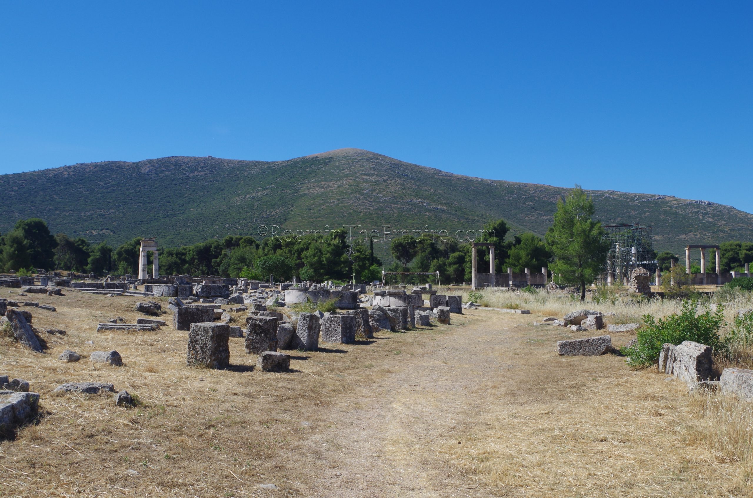
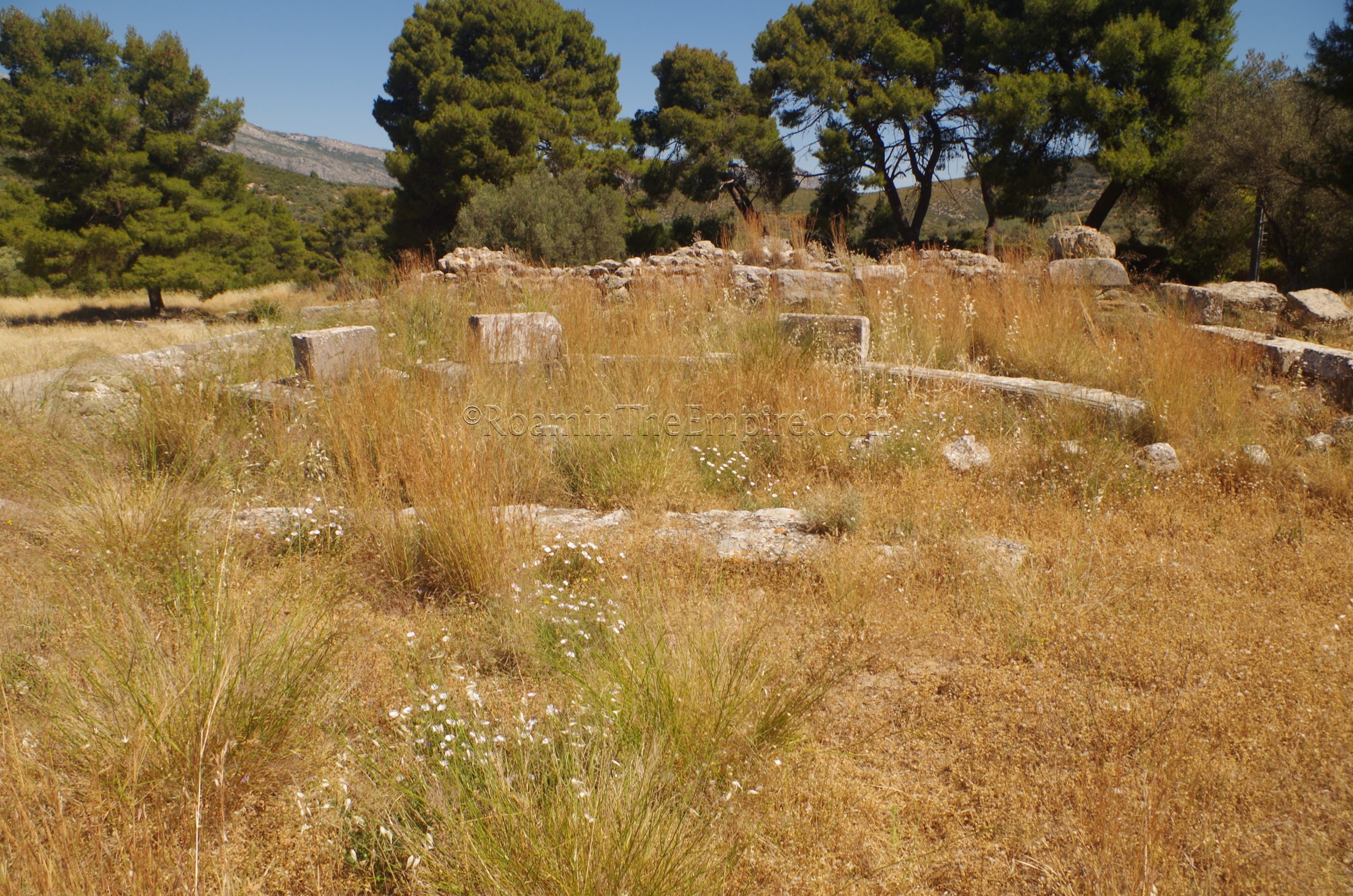
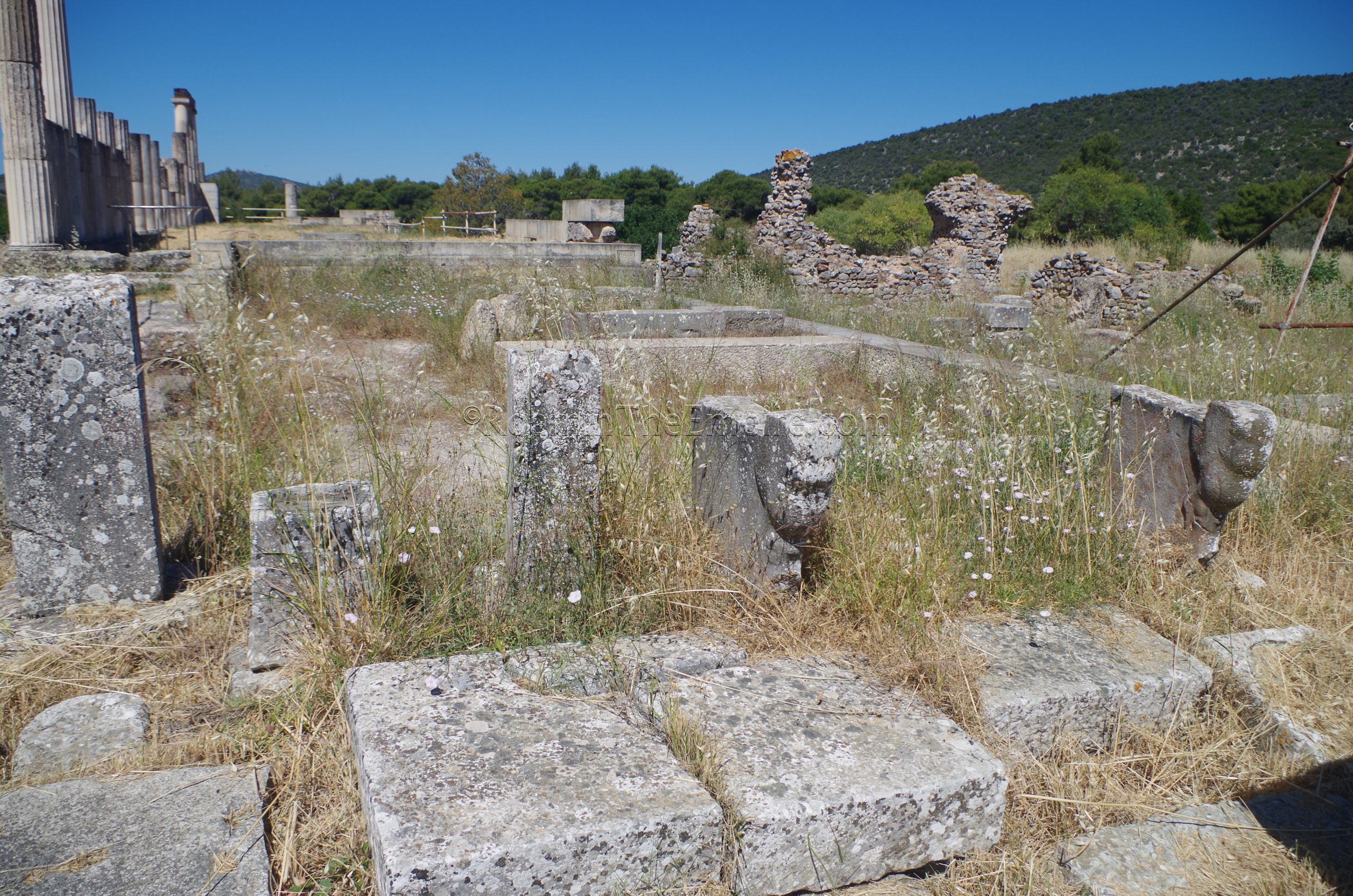
Within the sacred square, in the northwest corner of the open area are a number of exedrae. These semicircular benches were constructed starting in the Hellenistic period. These, as well as others adjacent to Building E and in the area in front of the Thymele seem to date, broadly, to between 350 BCE and 100 BCE. A number of them have extant inscriptions describing their dedication, in some cases, by the polis of Epidaurus to prominent families and in others by individuals. They probably would have been adorned by statues of those honored in the inscriptions. These may have served, in part, to create spaces related to rituals and procession in the sanctuary.
Heading out of the sacred square, to the north, about 75 meters from the rear elements of the Stoa of Kotys, is the Propylaia, the monumental entryway to the sanctuary. This point would have been where roads from the city of Epidaurus and others in the western Argolid would have led, and thus it would have been the primary entry point for many pilgrims to the sanctuary. The Propylaia was built around 300 BCE. Most of the robust blocks of the foundation survive, and the monument is completely accessible with no restrictions or barriers
About 10 meters south of the Propylaia, off to the west of the path is a well, likely used for entering pilgrims to cleanse with. Its use originally dates to the 5th century BCE, but the wellhead that is visible now dates to the Roman period. It’s also worth noting that about 50 meters to the northeast of the Propylaia is the 5th century CE basilica of St. John the Fasting. Unfortunately the area was pretty overgrown and there wasn’t much visible. There wasn’t even a path that lead to it. Some Roman constructions and part of the sacred way leading up to the Propylaia are also visible to the north, but the fencing of the archaeological extends to just past the gate, and so none of these elements are accessible.
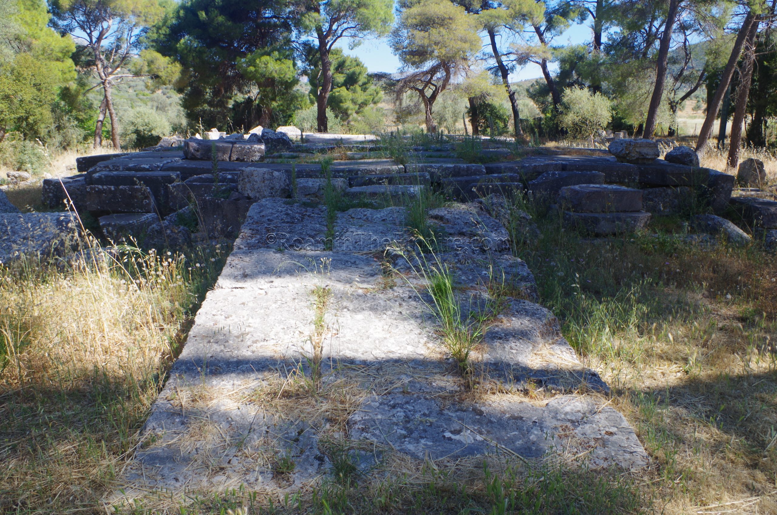
Heading back toward the sanctuary, just before reaching the Stoa of Kotys, a path cuts off toward the west. About 75 meters past the fork, along the south side of the path, are the remains of a large 3rd century BCE cistern. It is mostly filled in and overgrown, but some elements of the eastern and southern walls are still very visible from the path. Continuing west a bit farther are the remains of two adjacent bathing complexes and possibly a sanctuary to Isis. Unfortunately, both of these are very heavily overgrown and there’s not much visible except for a few of the more robust remaining walls that are preserved to fairly significant heights. The overgrowth also makes the area largely inaccessible unless you’re willing to wade through waist high brush at a sanctuary dedicated to a god associated with snakes. Both buildings date to the Roman imperial period.
It is worth nothing that there are two other sanctuaries located at the site, but both are currently inaccessible to visitors. The first, a sanctuary to Aphrodite, is about 500 meters east of the sacred square, though not much seems to remain. The other, atop a ridge about 550 meters (as the crow flies) northeast of the theater, is the Sanctuary of Apollo Maleatas. There are significant remains of this sanctuary, which originally dates back to the 8th century BCE (though there is much more remaining from the early 4th century incarnation of the sanctuary), and it seems as though there are ongoing conservation efforts, perhaps in a bid to eventually make the sanctuary open to visitors.
The sanctuary and the scant remains of the city of Epidaurus make for a fairly full day, but both are easily done as a day trip from Corinth, or even conceivably from Athens. Most of the prominent features of the sanctuary have signs in both English and Greek.


Sources:
Elsner, Jas and Ian Rutherford. Pilgrimage in Graeco-Roman & Early Christian Antiquity: Seeing the Gods. New York: Oxford University Press, 2005.
Grant, Michael. A Guide to the Ancient World: A Dictionary of Classical Place Names. New York: Barnes & Noble Books, 1997.
Kristensen, Troels Myrup. “Mobile Situations: Exedrae as Stages of Gathering in Greek Sanctuaries.” World Archaeology, Vol. 50 No. 1, 2018, pp. 86-99.
Pausanias. Hellados Periegesis, 2.26.7, 2.27, 9.7.5.
Schultz, Peter and Bronwen L. Wickkiser. “Communicating with the Gods in Ancient Greece: The Design and Functions of the ‘Thymele’ at Epidauros”. The International Journal of Technology, Knowledge and Society, Vol. 6 No. 6, 2010, pp. 143-164.
Smith, William. Dictionary of Greek and Roman Geography. Walton & Murray, 1870.
Stillwell, Richard, William L. MacDonald, and Marian Holland. McAllister. The Princeton Encyclopedia of Classical Sites. Princeton, NJ: Princeton U Press, 1976.